Worcester District
Located in Worcestershire, England Coordinates: 52°11′46″ N 2°12′32″ W
- Population
- 102,338
- 102.3K
- Elevation
- 36 m
- above sea level
- Local time
- UTC+00:00
- Europe/London · UTC+00:00
- Places inside
- 30
- listed under Worcester District
About Worcester District
Worcester District is a municipality. Location: Worcestershire, England. Population: 102,338. Elevation: 36 m.
In comparison
- No. 2 of 6 places in Worcestershire by population
- Nearest larger town: Wychavon District, 13 km E
- 24 sights and natural places within 10 km The Commandery, Worcester Cathedral
- Listed here: Neighbourhood: 14, Village: 5, Attraction: 3, Natural site: 2
Places in Worcester District
30 places-
Worcester City101.7K
-
Astwood Neighbourhood
-
Barbourne Neighbourhood
-
Blackpole Neighbourhood
-
Brickfields Neighbourhood
-
Britannia Square Neighbourhood
-
Cheluvett Park Natural site
-
Cherry Orchard Neighbourhood
-
Claines Village
-
Diglis Neighbourhood
-
Dines Green Neighbourhood
-
Diocese of Worcester Village
-
Elbury Hill Mountain
-
Henwick Neighbourhood
-
Northwick Neighbourhood
-
Pitchcroft Allotments Attraction
-
Rainbow Hill Neighbourhood
-
Red Hill Village
-
River Severn River
-
Ronkswood Neighbourhood
-
Saint John's Church Attraction
-
St John's Neighbourhood
-
St. Peter the Great County Village
-
The Commandery Museum
-
The Slip Natural site
-
Tolladine Neighbourhood
-
Warndon Village
-
Worcester Castle Historic site
-
Worcester Cathedral Attraction
-
Worcester Mediumwave Transmitter Landmark
Nearby attractions & nature
Everything nearby-
Crookbarrow Hill Mountain, Whittington3.5 km SE
-
Crookbarrow Hill Historic site, Whittington3.5 km SE
-
River Teme River, England3.3 km S
-
Elgar Birthplace Museum Museum, Broadheath5.1 km W
-
Bevere Island Island, North Claines4.7 km NW
-
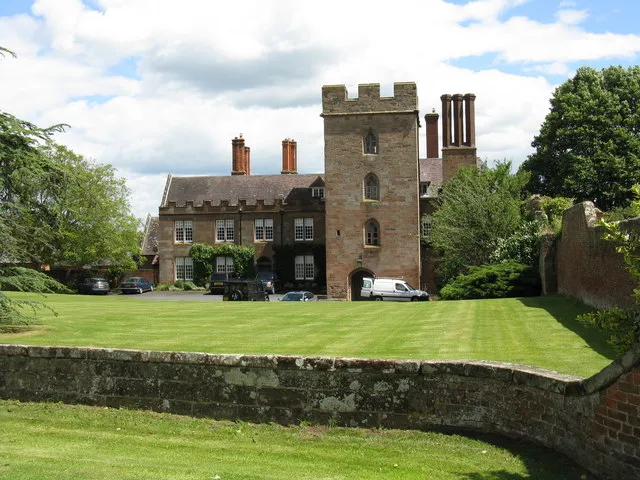 Holt Castle Historic site, Holt7.7 km N
-
Bush Hill Mountain, Powick6 km SW
-
Stanbrook Abbey (1838-1871) Historic site, Powick5.9 km SW
Other cities and towns in Worcestershire
-
Wychavon District Municipality, Worcestershire13 km E
-
Malvern Hills District Municipality, Worcestershire14 km W
-
Wyre Forest District Municipality, Worcestershire20 km NW
-
Redditch District Municipality, Worcestershire20 km NE
-
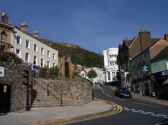 Great Malvern Town, Malvern12 km SW
-
Bromsgrove District Municipality, Worcestershire23 km NE
Sources & licences
Data last updated: