Redditch District
Located in Worcestershire, England Coordinates: 52°16′46″ N 1°56′44″ W
- Population
- 84,971
- 85K
- Elevation
- 123 m
- above sea level
- Local time
- UTC+00:00
- Europe/London · UTC+00:00
- Places inside
- 31
- listed under Redditch District
About Redditch District
Redditch District is a municipality. Location: Worcestershire, England. Population: 84,971. Elevation: 123 m.
In comparison
- No. 5 of 6 places in Worcestershire by population
- Nearest larger town: Redditch, 3 km N
- 18 sights and natural places within 10 km South Crest, Studley Old Castle
- Listed here: Neighbourhood: 24, Village: 5, Mountain: 1, Town: 1
Places in Redditch District
31 places-
Redditch Town87.8K
-
Astwood Bank Village2.7K
-
Abbeydale Neighbourhood
-
Batchley Neighbourhood
-
Church Hill Neighbourhood
-
Crabbs Cross Village
-
Dagtail End Neighbourhood
-
Enfield Neighbourhood
-
Feckenham Village
-
Greenlands Neighbourhood
-
Headless Cross Village
-
Hunt End Neighbourhood
-
Ipsley Neighbourhood
-
Lakeside Neighbourhood
-
Lodge Park Neighbourhood
-
Matchborough Neighbourhood
-
Moon's Moat Neighbourhood
-
Oakenshaw Neighbourhood
-
Park Farm Neighbourhood
-
Riverside Neighbourhood
-
Shurnock Village
-
Smallwood Neighbourhood
-
Southcrest Neighbourhood
-
South Crest Mountain
-
St Georges Neighbourhood
-
Walkwood Neighbourhood
-
Washford Neighbourhood
-
Webheath Neighbourhood
-
Winyates Neighbourhood
-
Winyates Green Neighbourhood
-
Woodrow Neighbourhood
Nearby attractions & nature
Everything nearby-
Coughton Danes Bank Historic site, Coughton5.1 km SE
-
Studley Old Castle Historic site, Studley4.4 km E
-
Beoley Historic site, Beoley5.6 km NE
-
Inkberrow Castle Historic site, Inkberrow7.7 km S
-
Morton Hill Mountain, Inkberrow6.2 km S
-
Newbourne Hill Mountain, Alvechurch7.2 km N
-
Morton Bagot Historic site, Morton Bagot7.6 km E
-
Badbury Hill Mountain, Aston Cantlow7.9 km E
Other cities and towns in Worcestershire
-
Bromsgrove District Municipality, Worcestershire10 km NW
-
Wychavon District Municipality, Worcestershire12 km SW
-
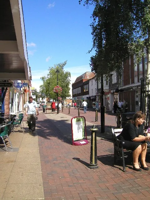 Bromsgrove Town, Bromsgrove District10 km NW
-
Worcester District Municipality, Worcestershire20 km SW
-
Wyre Forest District Municipality, Worcestershire30 km W
-
Barnt Green Town, Lickey and Blackwell9.8 km NW
Sources & licences
Data last updated: