Inkberrow Castle
Located in Inkberrow, Wychavon District Coordinates: 52°12′47″ N 1°58′36″ W
- Local time
- UTC+00:00
- Europe/London · UTC+00:00
- Elevation
- 76 m
- above sea level
- Airports
- BHX Birmingham Airport31 km
- EMA East Midlands Airport82 km
About Inkberrow Castle
Inkberrow Castle is a historic site. Location: Inkberrow, Wychavon District.
Inkberrow Castle was situated in the village of Inkberrow in Worcestershire, England, some 10 km south of Redditch (grid reference SP017572). It was a castle built between 1154 and 1216 which was destroyed (slighted) in 1233. A moat remains which may be that of the castle or of a later manor house built on or near the site of the castle. Earthworks are also present. There is a moated site in Inkberrow that is thought to be the castle mentioned in medieval records. It was designated a scheduled monument in 1970.
Source: Wikipedia · CC BY-SA 4.0
At a glance
- Heritage designation
- scheduled monument
Source: Wikidata
Climate of Inkberrow Castle
Best months for sightseeingBest months for sightseeing: June–August.
This month · November
A cold month
Day 10° · Night 3° · Rain 72 mm
- Hottest month
- July (day 21°)
- Coldest month
- February (night 1°)
- Wettest month
- December (76 mm)
- Driest month
- April (51 mm)
Bars: average monthly low and high temperature. Below: precipitation. Monthly averages for 1970–2000 at about 18 km resolution, adjusted for elevation. Highlighted months are mild and relatively dry. Source: WorldClim 2.1 (CC BY 4.0).
Show values as a table
| Month | Jan | Feb | Mar | Apr | May | Jun | Jul | Aug | Sep | Oct | Nov | Dec |
|---|---|---|---|---|---|---|---|---|---|---|---|---|
| Average high (°C) | 7° | 7° | 9° | 12° | 16° | 18° | 21° | 21° | 18° | 14° | 10° | 8° |
| Average low (°C) | 1° | 1° | 2° | 3° | 6° | 9° | 11° | 11° | 9° | 6° | 3° | 2° |
| Precipitation (mm) | 75 | 52 | 59 | 51 | 55 | 67 | 52 | 68 | 68 | 67 | 72 | 76 |
How to get to Inkberrow Castle
The nearest airport is Birmingham Airport (BHX), 31 km to the northeast as the crow flies. The nearest large city is Worcester, 17 km to the west.
Airports
- Birmingham Airport (BHX) Birmingham, West Midlands 31 kmnortheast
- East Midlands Airport (EMA) Nottingham, Leicestershire 82 kmnortheast
- Bristol Airport (BRS) Bristol 106 kmsouthwest
Nearby large cities
- Worcester Population: 101.7K 17 kmwest
- Solihull Population: 126.6K 26 kmnortheast
- Birmingham Population: 1.2M 30 kmnorth
- Dudley Population: 199.1K 33 kmnorth
- West Bromwich Population: 103.1K 34 kmnorth
Straight-line distances; road distances are longer. Airport data: OurAirports.
Day trips from Inkberrow Castle
Within 100 km: 988 historic and cultural sites, 1,246 natural sites, 124 lakes, rivers and coasts.
0–25 km97 places
- Glover's Island Island 13 kmS
- Bevere Island Island 18 kmW
- Kemerton Lake 22 kmS
- Walton Hill Mountain 24 kmN
25–60 km574 places
- Alney Island Island 43 kmSW
- Crescent Wood Island Island 32 kmNE
- The Island Island 51 kmW
- Brown's Island Island 59 kmN
60–100 km1,687 places
- Andersey Island Island 78 kmSE
- Horninglow island Island 71 kmN
- Rose Isle Island 75 kmSE
- Lock Wood Island Island 79 kmSE
Straight-line distances.
Nearby attractions & nature
Everything nearby-
Morton Hill Mountain, Inkberrow1.7 km N
-
Coughton Danes Bank Historic site, Coughton5.6 km NE
-
Rous Lench Hill Mountain, Rous Lench3.6 km S
-
Oversley Castle Historic site, Alcester6.8 km E
-
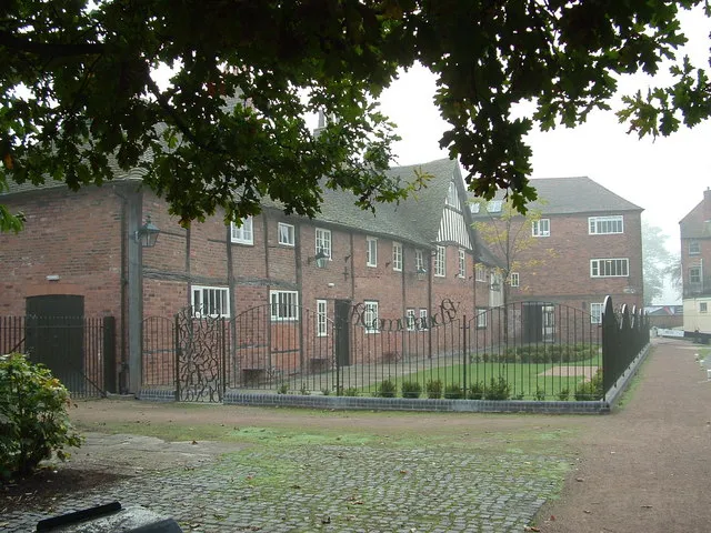 The Commandery Museum, Worcester District17 km W
-
Studley Old Castle Historic site, Studley9.2 km NE
-
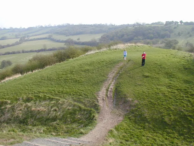 Beaudesert Castle Historic site, Beaudesert17 km NE
-
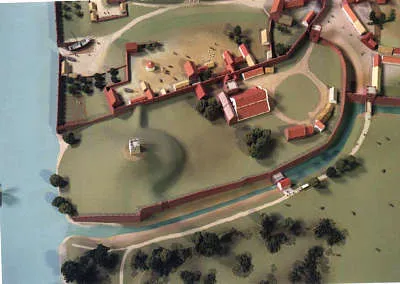 Worcester Castle Historic site, Worcester District17 km W
Nearest towns and villages
-
Inkberrow Village, Inkberrow0.3 km W
-
Holberrow Green Village, Inkberrow1.9 km N
-
Kington Village, Kington3.1 km SW
-
Bouts Village, Inkberrow1.7 km NE
Sources & licences
Data last updated: · 2 independent sources