Wychavon District
Located in Worcestershire, England Coordinates: 52°10′48″ N 2°00′55″ W
- Population
- 122,943
- 122.9K
- Elevation
- 56 m
- above sea level
- Local time
- UTC+00:00
- Europe/London · UTC+00:00
- Places inside
- 92
- listed under Wychavon District
- Airports
- BHX Birmingham Airport36 km
- EMA East Midlands Airport86 km
About Wychavon District
Wychavon District is a municipality. Location: Worcestershire, England. Population: 122,943. Elevation: 56 m. The best months to visit are June–August. The nearest airport is Birmingham Airport (36 km). Nearby sights include Coughton Danes Bank and The Commandery.
Photos of Wychavon District
-
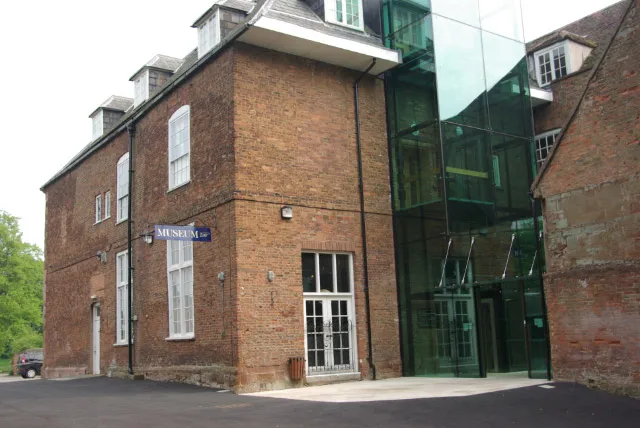
Hartlebury Castle Stephen McKay · CC BY-SA 2.0

Climate of Wychavon District
Best months for sightseeingBest months for sightseeing: June–August.
This month · November
A cold month
Day 10° · Night 4° · Rain 77 mm
- Hottest month
- July (day 21°)
- Coldest month
- February (night 1°)
- Wettest month
- December (81 mm)
- Driest month
- April (54 mm)
Bars: average monthly low and high temperature. Below: precipitation. Monthly averages for 1970–2000 at about 18 km resolution, adjusted for elevation. Highlighted months are mild and relatively dry. Source: WorldClim 2.1 (CC BY 4.0).
Show values as a table
| Month | Jan | Feb | Mar | Apr | May | Jun | Jul | Aug | Sep | Oct | Nov | Dec |
|---|---|---|---|---|---|---|---|---|---|---|---|---|
| Average high (°C) | 7° | 7° | 9° | 12° | 16° | 18° | 21° | 20° | 18° | 14° | 10° | 8° |
| Average low (°C) | 1° | 1° | 2° | 3° | 6° | 9° | 11° | 11° | 9° | 7° | 4° | 2° |
| Precipitation (mm) | 79 | 55 | 63 | 54 | 55 | 70 | 54 | 72 | 73 | 72 | 77 | 81 |
How to get to Wychavon District
The nearest airport is Birmingham Airport (BHX), 36 km to the northeast as the crow flies. The nearest large city is Worcester, 14 km to the west.
Airports
- Birmingham Airport (BHX) Birmingham, West Midlands 36 kmnortheast
- East Midlands Airport (EMA) Nottingham, Leicestershire 86 kmnortheast
- Bristol Airport (BRS) Bristol 101 kmsouthwest
Nearby large cities
- Worcester Population: 101.7K 14 kmwest
- Solihull Population: 126.6K 31 kmnortheast
- Cheltenham Population: 118.8K 31 kmsouth
- Birmingham Population: 1.2M 34 kmnorth
- Dudley Population: 199.1K 36 kmnorth
Straight-line distances; road distances are longer. Airport data: OurAirports.
Day trips from Wychavon District
Within 100 km: 989 historic and cultural sites, 1,275 natural sites, 132 lakes, rivers and coasts.
0–25 km103 places
- Glover's Island Island 10 kmSE
- Bevere Island Island 16 kmW
- Kemerton Lake 18 kmS
- Worcestershire Beacon Mountain 24 kmW
25–60 km585 places
- Alney Island Island 39 kmSW
- Crescent Wood Island Island 36 kmNE
- The Island Island 49 kmW
- Withymoor Island Island 34 kmN
60–100 km1,708 places
- Andersey Island Island 77 kmSE
- Horninglow island Island 75 kmN
- Rose Isle Island 74 kmSE
- Lock Wood Island Island 78 kmSE
Straight-line distances.
Wychavon District and similar cities
Side by side with cities of similar size in the same country: population, elevation and climate.
| Measure | Wychavon District | Burton-on-Trent | Crawley | Saint Peters |
|---|---|---|---|---|
| Population | 122.9K | 122.2K | 124K | 125.4K |
| Elevation | 56 m | 49 m | 84 m | 43 m |
| Summer day (hottest month) | 21° | 21° | 22° | 21° |
| Winter night (coldest month) | 1° | 1° | 1° | 2° |
| Annual rainfall | 805 mm | 678 mm | 755 mm | 544 mm |
| Best months | Jun–Aug | Jun–Aug | Jun–Aug | Jun–Aug |
| Distance | — | 74 km | 174 km | 254 km |
Climate values are 1970–2000 monthly averages; straight-line distance.
Places in Wychavon District
92 placesCities & villages60
- Abberton · Village
- Abbots Morton · Village
- Aldington · Village
- Ashton under Hill · Village
- Aston Somerville · Village
- Badsey · Village
- Beckford · Village
- Besford · Village
- Bickmarsh · Village
- Birlingham · Village
- Bishampton · Village
- Bredicot · Village
- Bredon · Village
- Bredon's Norton · Village
- Bretforton · Village
- Bricklehampton · Village
- Broadway · Village
- Broughton Hackett · Village
- Charlton · Village
- Childswickham · Village
- Churchill · Village
- Church Lench · Village
- Cleeve Prior · Village
- Conderton · Village
- Cookhill · Village
- Cropthorne · Village
- Crowle · Village
- Defford · Village
- Dodderhill · Village
- Dormston · Village
- Doverdale · Village
- Drakes Broughton and Wadborough · Village
- Droitwich Spa · Village
- Eckington · Village
- Elmbridge · Village
- Elmley Castle · Village
- Elmley Lovett · Village
- Evesham · Village
- Fladbury · Village
- Flyford Flavell · Village
- Grafton Flyford · Village
- Great Comberton · Village
- Hadzor · Village
- Hampton Lovett · Village
- Hanbury · Village
- Hartlebury · Village
- Harvington · Village
- Hill and Moor · Village
- Himbleton · Village
- Hindlip · Village
- Hinton on the Green · Village
- Honeybourne · Village
- Huddington · Village
- Inkberrow · Village
- Kemerton · Village
- Kington · Village
- Little Comberton · Village
- Martin Hussingtree · Village
- Naunton Beauchamp · Village
- Netherton · Village
Nearby attractions & nature
Everything nearby-
Coughton Danes Bank Historic site, Coughton10 km NE
-
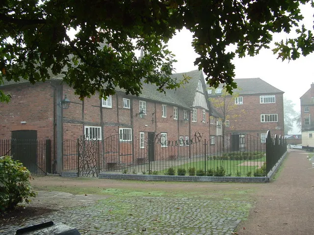 The Commandery Museum, Worcester District14 km W
-
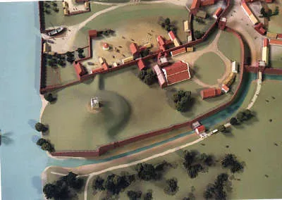 Worcester Castle Historic site, Worcester District14 km W
-
Oversley Castle Historic site, Alcester9.6 km E
-
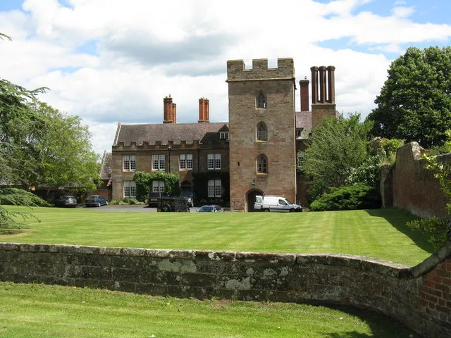 Holt Castle Historic site, Holt18 km NW
-
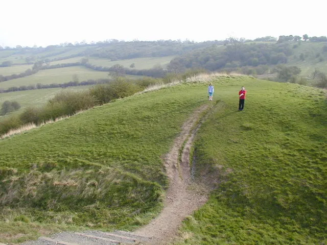 Beaudesert Castle Historic site, Beaudesert21 km NE
-
Oversley Wood Mountain, Alcester11 km E
-
Leopard Hill Mountain, Warndon12 km W
Other cities and towns in Worcestershire
-
Redditch District Municipality, Worcestershire12 km NE
-
Worcester District Municipality, Worcestershire13 km W
-
Bromsgrove District Municipality, Worcestershire20 km N
-
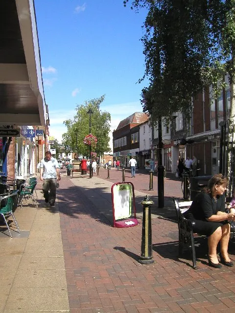 Bromsgrove Town, Bromsgrove District18 km N
-
Malvern Hills District Municipality, Worcestershire27 km W
-
Pershore Town, Pershore8.7 km SW
Sources & licences
Data last updated: