- Local time
- UTC+00:00
- Europe/London · UTC+00:00
- Elevation
- 17 m
- above sea level
- Airports
- LBA Leeds Bradford Airport44 km
- HUY Humberside Airport61 km
About Yorkshire Museum of Farming
Yorkshire Museum of Farming is a museum. Location: Murton, York.
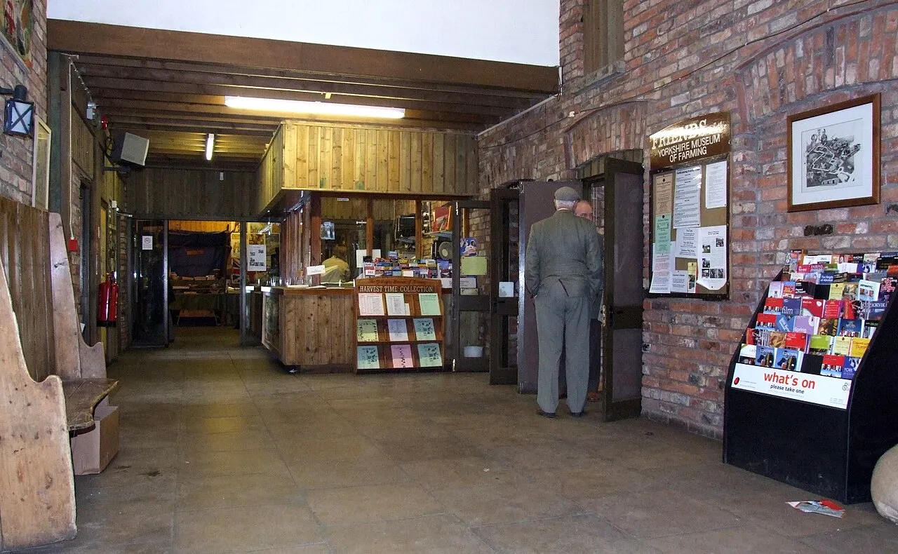
The Yorkshire Museum of Farming is located in Murton Park near York in England. It is housed on a grass field site of approximately 14 acres (5.7 ha), and is the only museum in the district specifically dedicated to the subject of farming. In the autumn of 2010, the museum was awarded full accreditation status by the Museums, Libraries and Archives Council. The museum has built up a large collection of artefacts that illustrate the history of farm mechanisation.
Source: Wikipedia · CC BY-SA 4.0
Photos of Yorkshire Museum of Farming
-

Mx. Granger · CC0 -

Symac / Sylvain Machefert · CC BY-SA 4.0 -

Symac / Sylvain Machefert · CC BY-SA 4.0 -
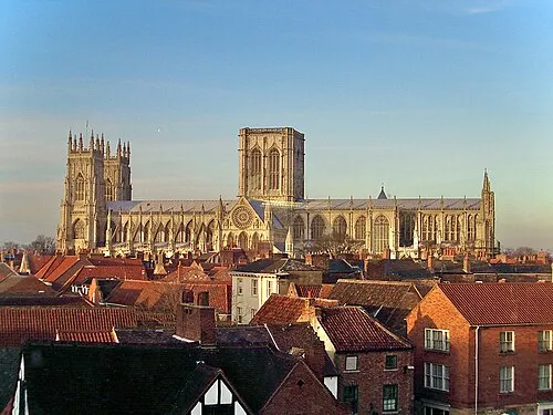
York Minster MatzeTrier · CC BY-SA 3.0 -

Bootham Crescent Mattythewhite · CC BY-SA 4.0


Climate of Yorkshire Museum of Farming
Best months for sightseeingBest months for sightseeing: June–August.
This month · November
A cold month
Day 9° · Night 3° · Rain 52 mm
- Hottest month
- July (day 21°)
- Coldest month
- January (night 1°)
- Wettest month
- December (58 mm)
- Driest month
- February (37 mm)
Bars: average monthly low and high temperature. Below: precipitation. Monthly averages for 1970–2000 at about 18 km resolution, adjusted for elevation. Highlighted months are mild and relatively dry. Source: WorldClim 2.1 (CC BY 4.0).
Show values as a table
| Month | Jan | Feb | Mar | Apr | May | Jun | Jul | Aug | Sep | Oct | Nov | Dec |
|---|---|---|---|---|---|---|---|---|---|---|---|---|
| Average high (°C) | 6° | 7° | 9° | 12° | 16° | 19° | 21° | 21° | 18° | 14° | 9° | 7° |
| Average low (°C) | 1° | 1° | 2° | 4° | 6° | 9° | 11° | 11° | 9° | 6° | 3° | 2° |
| Precipitation (mm) | 53 | 37 | 47 | 43 | 45 | 54 | 47 | 56 | 51 | 52 | 52 | 58 |
How to get to Yorkshire Museum of Farming
The nearest airport is Leeds Bradford Airport (LBA), 44 km to the west as the crow flies. The nearest large city is York, 5 km to the west.
Airports
- Leeds Bradford Airport (LBA) Leeds, West Yorkshire 44 kmwest
- Humberside Airport (HUY) Grimsby, Lincolnshire 61 kmsoutheast
- Teesside International Airport (MME) Darlington, Durham 67 kmnorthwest
Nearby large cities
- York Population: 156.1K 5 kmwest
- Leeds Population: 536.3K 40 kmsouthwest
- Wakefield Population: 109.8K 45 kmsouthwest
- Doncaster Population: 113.6K 49 kmsouth
- Hull Population: 314K 50 kmsoutheast
Straight-line distances; road distances are longer. Airport data: OurAirports.
Day trips from Yorkshire Museum of Farming
Within 100 km: 463 historic and cultural sites, 713 natural sites, 150 lakes, rivers and coasts.
0–25 km77 places
- The Island Island 7 kmSE
- Bank Island Island 8 kmSE
- The Island Island 17 kmNW
- Heron Island Island 22 kmSW
25–60 km422 places
- North Beach Beach 57 kmE
- Fraisethorpe Beach Beach 53 kmE
- The Island Island 53 kmNW
- Read's Island Island 43 kmSE
60–100 km827 places
- Great Britain Island 65 kmW
- Seaton Carew Beach Beach 79 kmN
- Redcar Beach Beach 74 kmN
- Whitby Beach Beach 64 kmN
Straight-line distances.
Nearby attractions & nature
Everything nearby-
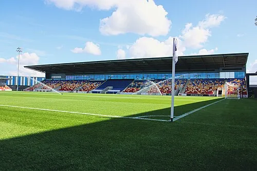 York Community Stadium Landmark, Huntington4 km NW
-
York Minster Attraction, York4.8 km W
-
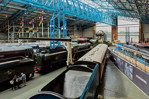 National Railway Museum Museum, York5.7 km W
-
Bootham Crescent Landmark, Clifton Without5.3 km W
-
York Castle Historic site, York4.6 km W
-
Clifford's Tower Landmark, York4.7 km W
-
St Mary's Church Attraction, York4.7 km W
-
York Baile Hill Historic site, York5 km W
Nearest towns and villages
Sources & licences
Data last updated: · 2 independent sources