Dromore
Local name: Droim Mór
Located in Armagh City Banbridge and Craigavon, Northern Ireland Coordinates: 54°24′49″ N 6°08′57″ W
- Population
- 6,492
- 6.5K
- Elevation
- 77 m
- above sea level
- Local time
- UTC+00:00
- Europe/London · UTC+00:00
- Airports
- BFS Belfast International Airport27 km
- BHD George Best Belfast City Airport29 km
About Dromore
Dromore is a town. Location: Armagh City Banbridge and Craigavon, Northern Ireland. Population: 6,492. Elevation: 77 m.
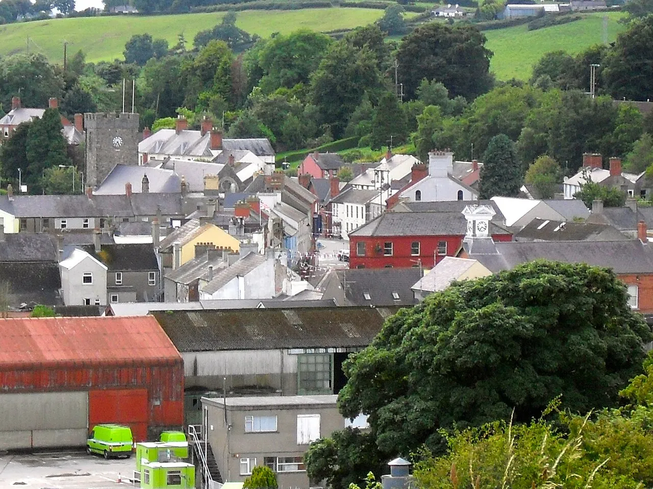
Dromore (from Irish Droim Mór, meaning 'large ridge') is a market town and civil parish in County Down, Northern Ireland, situated on the River Lagan. It lies within the local government district of Armagh City, Banbridge and Craigavon, about 19 miles (31 km) southwest of Belfast, on the A1 Belfast–Dublin road. The 2021 census recorded a population of 6,492. The town's centre is Market Square, which has a rare set of stocks. It is in the old linen manufacturing district.
Source: Wikipedia · CC BY-SA 4.0
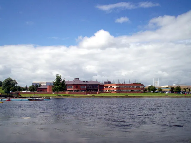
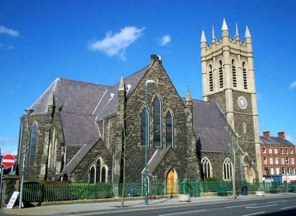
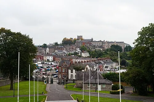
Photos of Dromore
-

Eric Jones · CC BY-SA 2.0 -

Eric Jones · CC BY-SA 2.0 -

Eric Jones · CC BY-SA 2.0


Climate of Dromore
Best months for sightseeingBest months for sightseeing: June–August.
This month · November
A cold month
Day 9° · Night 3° · Rain 97 mm
- Hottest month
- July (day 20°)
- Coldest month
- January (night 1°)
- Wettest month
- January (105 mm)
- Driest month
- May (62 mm)
Bars: average monthly low and high temperature. Below: precipitation. Monthly averages for 1970–2000 at about 18 km resolution, adjusted for elevation. Highlighted months are mild and relatively dry. Source: WorldClim 2.1 (CC BY 4.0).
Show values as a table
| Month | Jan | Feb | Mar | Apr | May | Jun | Jul | Aug | Sep | Oct | Nov | Dec |
|---|---|---|---|---|---|---|---|---|---|---|---|---|
| Average high (°C) | 7° | 7° | 10° | 12° | 15° | 18° | 20° | 19° | 16° | 13° | 9° | 7° |
| Average low (°C) | 1° | 1° | 2° | 4° | 6° | 9° | 11° | 11° | 9° | 6° | 3° | 2° |
| Precipitation (mm) | 105 | 73 | 84 | 66 | 62 | 67 | 68 | 88 | 90 | 103 | 97 | 98 |
How to get to Dromore
The nearest airport is Belfast International Airport (BFS), 27 km to the north as the crow flies. The nearest large city is Belfast, 25 km to the northeast.
Airports
- Belfast International Airport (BFS) Belfast 27 kmnorth
- George Best Belfast City Airport (BHD) Belfast 29 kmnortheast
- City of Derry Airport (LDY) Derry, Derry and Strabane 96 kmnorthwest
Nearby large cities
- Belfast Population: 348K 25 kmnortheast
- Dublin Population: 1M 120 kmsouth
- Glasgow Population: 626.4K 202 kmnortheast
- Blackpool Population: 145K 213 kmeast
- Birkenhead Population: 325.3K 235 kmsoutheast
Straight-line distances; road distances are longer. Airport data: OurAirports.
Day trips from Dromore
Within 100 km: 127 historic and cultural sites, 429 natural sites, 403 lakes, rivers and coasts.
0–25 km42 places
- Reedy Flat Island 25 kmNW
- Rams Island Island 22 kmNW
- Lough Shark Lake 18 kmSW
- Portmore Lough Lake 18 kmNW
25–60 km260 places
- Reagh Island Island 34 kmE
- Lighthouse Island Island 51 kmNE
- Guns Island Island 41 kmE
- Copeland Island Island 50 kmNE
60–100 km657 places
- Rockabill Island 91 kmS
- Pollboy Bridge Landmark 91 kmSW
- Portstewart Beach Beach 92 kmNW
- Benone Beach Beach 96 kmNW
Straight-line distances.
Nearby attractions & nature
Everything nearby-
Ballyleny Hill Mountain, Armagh City Banbridge and Craigavon5.2 km NW
-
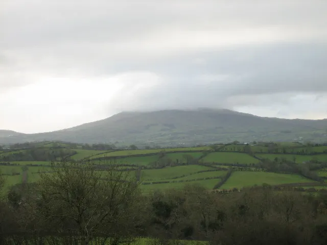 Slieve Croob Mountain, Newry Mourne and Down14 km SE
-
Lough Aghery Lake, Northern Ireland7.7 km E
-
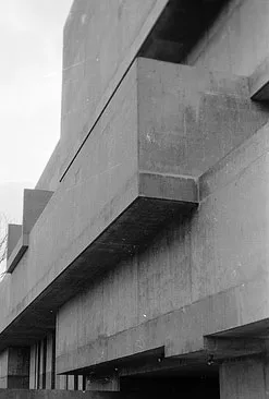 Ulster Museum Museum, Belfast23 km NE
-
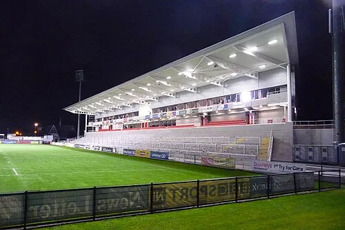 Kingspan Stadium Landmark, Belfast24 km NE
-
Lisnagarvey Blaw-Knox Radio Mast Landmark, Lisburn and Castlereagh10 km NE
-
Deehomed Mountain Mountain, Newry Mourne and Down12 km SE
-
Slievenaboley Mountain, Newry Mourne and Down13 km SE
Other cities and towns in Armagh City Banbridge and Craigavon
Sources & licences
Data last updated: · 2 independent sources