Benbradagh
Located in Causeway Coast and Glens, Northern Ireland Coordinates: 54°56′39″ N 6°52′27″ W
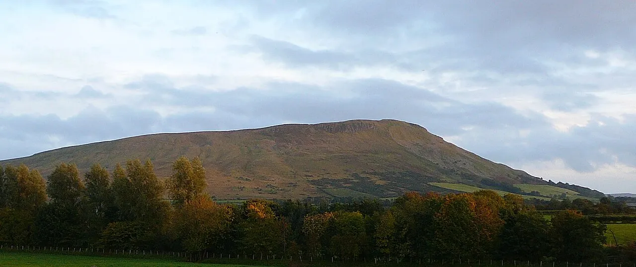
- Elevation
- 465 m
- above sea level
- Local time
- UTC+00:00
- Europe/London · UTC+00:00
- Airports
- LDY City of Derry Airport21 km
- BFS Belfast International Airport53 km
About Benbradagh
Benbradagh is a mountain. Location: Causeway Coast and Glens, Northern Ireland. Elevation: 465 m.
Benbradagh (from Irish Binn Bhradach 'treacherous peak') is a large hill near Dungiven in County Londonderry, Northern Ireland. It rises to 465 metres (1,526 ft) and is north of the Sperrin Mountains. Benbradagh was used from the 1940s to the early 1970s as a United States Military communications base for its North Atlantic fleet. US forces also built underground stores for high explosives at Benbradagh.
Source: Wikipedia · CC BY-SA 4.0
At a glance
- Topographic prominence
- 171 m
Source: Wikidata
Climate of Benbradagh
This month · November
A wet month
Day 7° · Night 2° · Rain 163 mm
- Hottest month
- July (day 16°)
- Coldest month
- January (night 0°)
- Wettest month
- November (163 mm)
- Driest month
- May (86 mm)
Bars: average monthly low and high temperature. Below: precipitation. Monthly averages for 1970–2000 at about 18 km resolution, adjusted for elevation. Highlighted months are mild and relatively dry. Source: WorldClim 2.1 (CC BY 4.0).
Show values as a table
| Month | Jan | Feb | Mar | Apr | May | Jun | Jul | Aug | Sep | Oct | Nov | Dec |
|---|---|---|---|---|---|---|---|---|---|---|---|---|
| Average high (°C) | 5° | 5° | 7° | 9° | 12° | 14° | 16° | 16° | 13° | 10° | 7° | 5° |
| Average low (°C) | 0° | 0° | 1° | 2° | 4° | 7° | 9° | 9° | 7° | 5° | 2° | 1° |
| Precipitation (mm) | 157 | 120 | 127 | 93 | 86 | 92 | 98 | 121 | 133 | 158 | 163 | 162 |
How to get to Benbradagh
The nearest airport is City of Derry Airport (LDY), 21 km to the northwest as the crow flies. For international flights: Belfast International Airport (BFS) (53 km). The nearest large city is Belfast, 72 km to the southeast.
Airports
- City of Derry Airport (LDY) Derry, Derry and Strabane 21 kmnorthwest
- Belfast International Airport (BFS) Belfast 53 kmsoutheast
- George Best Belfast City Airport (BHD) Belfast 74 kmsoutheast
Nearby large cities
- Belfast Population: 348K 72 kmsoutheast
- Dublin Population: 1M 184 kmsouth
- Glasgow Population: 626.4K 195 kmnortheast
- Edinburgh Population: 515K 258 kmnortheast
- Blackpool Population: 145K 278 kmsoutheast
Straight-line distances; road distances are longer. Airport data: OurAirports.
Day trips from Benbradagh
Within 100 km: 92 historic and cultural sites, 756 natural sites, 641 lakes, rivers and coasts.
0–25 km64 places
- Benone Beach Beach 25 kmN
- White Mountain Mountain 9 kmS
- Sperrin Mountains Mountain 21 kmSW
- Mullaghmore Mountain 11 kmS
25–60 km397 places
- Portstewart Beach Beach 27 kmN
- Portstewart Strand Beach 26 kmN
- Lisfannon Beach Beach 42 kmNW
- The Skerries Island 35 kmNE
60–100 km1,028 places
- Island Roy Island 64 kmNW
- West Maiden Island 73 kmE
- Texa Island Island 88 kmNE
- Sheep Island Island 92 kmNE
Straight-line distances.
Nearest towns and villages
-
Dungiven Village, Causeway Coast and Glens3 km SW
-
Derryork Village, Causeway Coast and Glens0.9 km NW
-
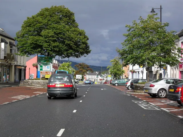 Limavady Town, Causeway Coast and Glens13 km N
-
Bovevagh Village, Causeway Coast and Glens3.9 km W
-
Drumsurn Village, Causeway Coast and Glens4.4 km N
-
Carn Village, Causeway Coast and Glens5.6 km SE
Nearby attractions & nature
Everything nearby-
Boviel Top Mountain, Causeway Coast and Glens2.6 km SE
-
Carn Hill Mountain, Causeway Coast and Glens4.4 km SE
-
Owenrigh River River, Northern Ireland4 km W
-
Owenbeg River River, Northern Ireland4 km W
-
Cnoc na hEarcola Mountain, Causeway Coast and Glens6.4 km N
-
Craiggore Mountain, Causeway Coast and Glens7.2 km NE
-
Coolcoscreaghan Mountain, Causeway Coast and Glens7.4 km E
-
Cnoc an Chomraic Mountain, Causeway Coast and Glens8.6 km SE
More nature in United Kingdom
-
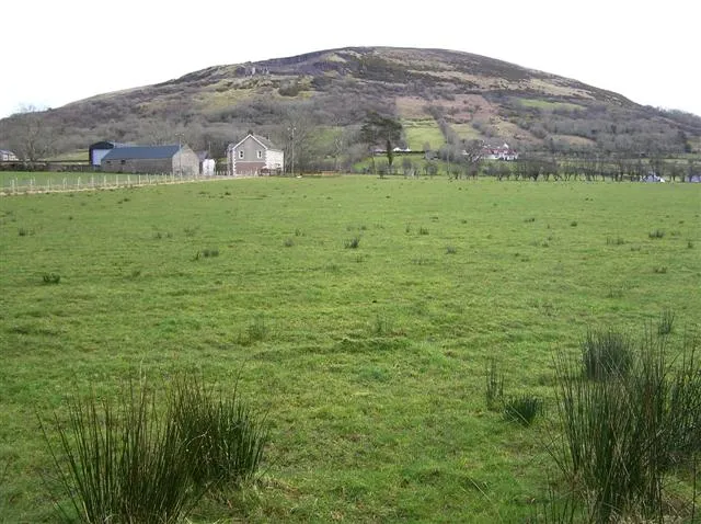 Keady Mountain Mountain, Causeway Coast and Glens13 km N
-
Carntogher Mountain, Causeway Coast and Glens9.1 km SE
-
Boyds Mountain Mountain, Causeway Coast and Glens12 km N
-
Cnoc an Locha Mountain, Causeway Coast and Glens10 km S
-
Mullaghmeash Hill Mountain, Causeway Coast and Glens11 km W
-
Mullaghmore Mountain, Causeway Coast and Glens11 km S
Sources & licences
Data last updated: · 2 independent sources