Fermanagh and Omagh
Located in Northern Ireland, United Kingdom Coordinates: 54°26′33″ N 7°30′11″ W
- Population
- 117,687
- 117.7K
- Elevation
- 101 m
- above sea level
- Local time
- UTC+00:00
- Europe/London · UTC+00:00
- Places inside
- 155
- listed under Fermanagh and Omagh
About Fermanagh and Omagh
Fermanagh and Omagh is a district. Location: Northern Ireland, United Kingdom. Population: 117,687.
In comparison
- 3 sights and natural places within 10 km Brougher Mountain, Derrin
- Listed here: Village: 109, Mountain: 32, Historic site: 5, Lake: 4
Climate of Fermanagh and Omagh
Best months for sightseeing: June–August.
| Month | Jan | Feb | Mar | Apr | May | Jun | Jul | Aug | Sep | Oct | Nov | Dec |
|---|---|---|---|---|---|---|---|---|---|---|---|---|
| Average high (°C) | 7° | 8° | 9° | 12° | 15° | 17° | 19° | 18° | 16° | 13° | 10° | 8° |
| Average low (°C) | 2° | 2° | 3° | 4° | 7° | 9° | 11° | 11° | 9° | 7° | 4° | 3° |
| Precipitation (mm) | 140 | 103 | 111 | 76 | 80 | 82 | 90 | 110 | 122 | 145 | 147 | 142 |
Monthly averages for 1970–2000 at about 18 km resolution, adjusted for elevation. Highlighted months are mild and relatively dry. Source: WorldClim 2.1 (CC BY 4.0).
Airports nearest to Fermanagh and Omagh
- City of Derry Airport (LDY) Derry, Derry and Strabane 70 km
- Donegal Airport (CFN) Donegal 86 km
- Belfast International Airport (BFS) Belfast 87 km
Straight-line distance; airports with scheduled flights only. Source: OurAirports (public domain).
Places in Fermanagh and Omagh
155 places-
Omagh City21.1K
-
Enniskillen City14.5K
-
Dromore Town5.6K
-
Lisnaskea Village2.9K
-
Irvinestown Village1.8K
-
Fintona Village1.4K
-
Ballinamallard Village1.4K
-
Newtownbutler Village943
-
Rosslea Village528
-
Altamuskin Village
-
An Dubhais Mountain
-
Ardess Village
-
Ardmoney Village
-
Arney Village
-
Ballagh Cross Roads Village
-
Ballycassidy Village
-
Ballyreagh Village
-
Barr Village
-
Belcoo Village
-
Bellanaleck Village
-
Belleek Village
-
Belmore Mountain Mountain
-
Benaughlin Mountain
-
Beragh Village
-
Bessy Bell Mountain
-
Blackfort Village
-
Blaney Village
-
Boho Village
-
Bracky Village
-
Brookeborough Village
-
Brougher Mountain Mountain
-
Carnanelly West Top Mountain
-
Carnmore Mountain
-
Carrickmore Village
-
Cashel Rock Mountain
-
Castle Caldwell Historic site
-
Church Hill Village
-
Clabby Village
-
Clanabogan Village
-
Clareview Village
-
Clogherny Top Mountain
-
Cnoc na mBuachall Mountain
-
Coa Village
-
Cooneen Village
-
Corranny Village
-
Craignamaddy Mountain
-
Creagh Village
-
Cregganconroe Mountain
-
Crocknakeeferty Mountain
-
Culky Village
-
Cullen Hill Mountain
-
Cullentragh Mountain
-
Curr Village
-
Curraghchosaly Mountain Mountain
-
Derrin Mountain
-
Derrygonnelly Village
-
Derrylin Village
-
Donagh Village
-
Doocarn Mountain
-
Dooish Village
Nearby attractions & nature
Everything nearby-
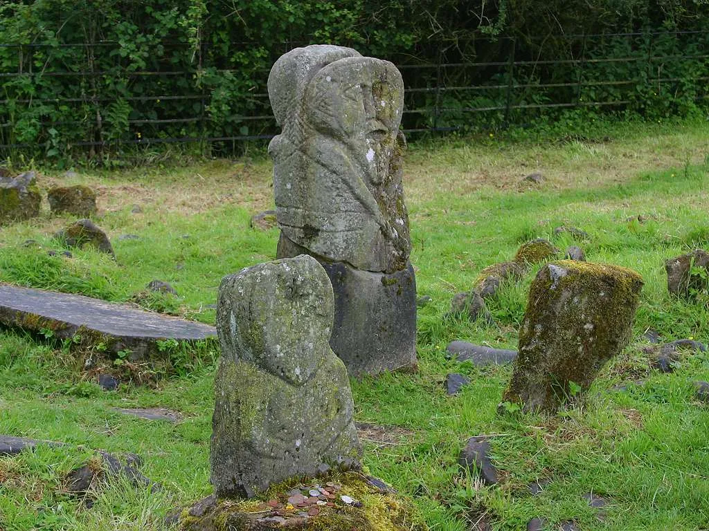 Boa Island Island, Northern Ireland23 km W
-
Sillees River River, Northern Ireland15 km SW
-
Lough Bradan Lake, Northern Ireland17 km N
-
Owenreagh River River, Northern Ireland17 km NE
-
Kesh River River, Northern Ireland17 km NW
-
Tempo River River, Northern Ireland18 km S
Sources & licences
Data last updated: