Mid Ulster
Located in Northern Ireland, United Kingdom Coordinates: 54°37′19″ N 6°47′27″ W
- Population
- 152,718
- 152.7K
- Elevation
- 67 m
- above sea level
- Local time
- UTC+00:00
- Europe/London · UTC+00:00
- Places inside
- 91
- listed under Mid Ulster
About Mid Ulster
Mid Ulster is a district. Location: Northern Ireland, United Kingdom. Population: 152,718.
In comparison
- Listed here: Village: 70, Mountain: 17, City: 3, Town: 1
Airports nearest to Mid Ulster
- Belfast International Airport (BFS) Belfast 37 km
- City of Derry Airport (LDY) Derry, Derry and Strabane 53 km
- George Best Belfast City Airport (BHD) Belfast 59 km
Straight-line distance; airports with scheduled flights only. Source: OurAirports (public domain).
Places in Mid Ulster
91 places-
Dungannon City11.9K
-
Cookstown City11.1K
-
Magherafelt City9.2K
-
Coalisland Town6.3K
-
Maghera Village4.1K
-
Castledawson Village2.3K
-
Draperstown Village1.7K
-
Moneymore Village1.4K
-
Fivemiletown Village1.1K
-
Bellaghy Village1.1K
-
Aughnacloy Village1K
-
Ballygawley Village711
-
Arboe Village
-
Artrea Village
-
Aughamullan Village
-
Augher Village
-
Ballyclog Village
-
Ballyness Mountain Mountain
-
Ballyreagh Village
-
Ballyronan Village
-
Beaghmore Village
-
Benburb Village
-
Bohilbreaga Mountain
-
Brockagh Village
-
Broughderg Village
-
Caledon Village
-
Cappagh Mountain Mountain
-
Carland Village
-
Carnanelly Mountain
-
Carnteel Village
-
Castlecaulfield Village
-
Charlemont Village
-
Churchtown Village
-
Clady Village
-
Clogher Village
-
Clonfeacle Village
-
Cnoc Breac Mountain
-
Coagh Village
-
Coolnasillagh Mountain Mountain
-
Corchoney Cross Roads Village
-
Craigagh Hill Mountain
-
Creevelough Village
-
Crilly Village
-
Curran Village
-
Desertmartin Village
-
Donaghey Village
-
Donaghmore Village
-
Drummond Village
-
Drumshanbo-Glebe Village
-
Dunmore Village
-
Dyan Village
-
Eglish Village
-
Findermore Village
-
Fir Mountain Mountain
-
Galbally Village
-
Gracefield Village
-
Grange Village
-
Granville Village
-
Gulladuff Village
-
Killycolpy Village
Nearby attractions & nature
Everything nearby-
Reubens Glen Natural site, Northern Ireland15 km NE
-
Lough Fea Lake, Northern Ireland11 km N
-
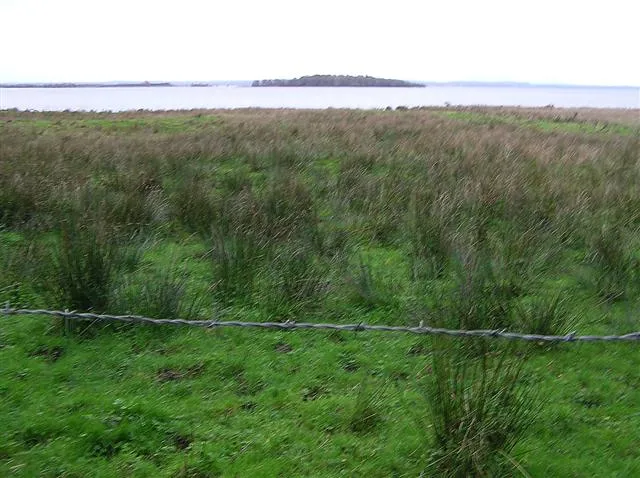 Coney Island Island, Northern Ireland19 km SE
-
Altmore River River, Northern Ireland11 km SE
-
Cregganconroe Mountain, Fermanagh and Omagh12 km W
-
Washing Bay Natural site, Northern Ireland17 km SE
Sources & licences
Data last updated: