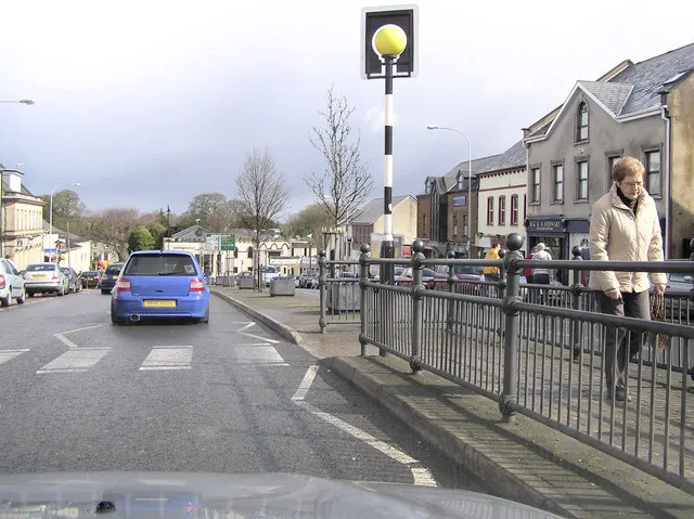
- Population
- 9,157
- 9.2K
- Elevation
- 76 m
- above sea level
- Local time
- UTC+00:00
- Europe/London · UTC+00:00
- Airports
- BFS Belfast International Airport27 km
- LDY City of Derry Airport48 km
About Magherafelt
Magherafelt is a city. Location: Mid Ulster, Northern Ireland. Population: 9,157. Elevation: 76 m.
Magherafelt ( MA-hə-rə-FELT, MAK-ə-; from Irish Machaire Fíolta, meaning 'plain of Fíolta', pronounced [ˈmˠaxəɾʲə ˈfʲiːl̪ˠt̪ˠə]) is a town and civil parish in County Londonderry, Northern Ireland. It had a population of 9,071 at the 2021 census. It is the biggest town in the south of the county and is the social, economic and political hub of the area. It is part of Mid-Ulster District.
Source: Wikipedia · CC BY-SA 4.0
Photos of Magherafelt
-

LesGornall · CC BY-SA 4.0 -

Cdonnelly123 · CC BY-SA 4.0 -

Robert Ashby · CC BY-SA 2.0 -

mvghuber · CC BY 3.0 -

David Purchase · CC BY-SA 2.0


Travel notes for Magherafelt
From Wikivoyage
Magherafelt is a town historically in County Londonderry astride the old highway from Belfast to Derry and Donegal. The A6 now bypasses it to the north, and the counties are no longer units of local government, so Magherafelt is now part of Mid-Ulster District. Its population in 2021 was 9600.
Understand+
"Magherafelt" derives from Machaire Fíolta, meaning "plain of Fíolta", and there was a monastery settlement here in medieval times. There's nothing left of that now, and the present town was created during the 17th century plantation era. English authority had been shocked by an uprising in Donegal and the burning of Derry, so they handed the whole kit and caboodle over to a London business consortium. These gentlemen created the walled city of Londonderry, divvied up the territory between their merchant company members, and brought in loyal Protestant colonists to prevent future Troubles. The Worshipful Company of Salters came ninth in the merchant hierarchy, and they were allocated a tract in the south of the county around Magherafelt. "On a wreath of the colours, a cubit arm erect, issuing from clouds all proper, holding a covered salt argent..." (and so on, at some length) — why, their coat of arms alone should be enough to cow those damned rebels. (It's among those displayed in Londonderry's Guildhall.) These companies ruled until 19th century local government reforms; the Salters diversified into other food additives and chemicals, and still function as a charity.
The plantations established a population that would have no truck with a catholic-dominated independent Ireland, and in 1921 County Londonderry was one of the six Ulster counties that became part of Northern Ireland within the UK. Magherafelt's fortunes rose and fell with that of Belfast and the wider province. Late 20th-century economic slump and sectarian tensions fed upon each other; 11 people were killed locally in this phase of Troubles, and in 1993 town centre was wrecked by a car bomb. It's nowadays a quiet market town on the edge of the Belfast commuter belt.
Get in+
By road from Belfast follow M2 past Antrim then A6 west. From the south you can avoid Belfast if rush hour is looming by branching off A1 at Newry and heading through Armagh, Dungannon and Cookstown.
Ulsterbus 110 / 210 runs from Antrim via Randalstown and Castledawson to Magherafelt (50 min), and continues to Moneymore and Cookstown (another 20 min). They're every two hours M-F, with only four on Saturday. Antrim is usually the most convenient railway station, with trains between Belfast and Londonderry, and buses from Lisburn via Belfast International Airport.
Bus 89 also runs twice M-F from Cookstown, by a roundabout route via Killycolpy and Ard Bo.
Bus 127 runs from Ballymena via Portglenone, Bellaghy and Castledawson, taking an hour to Magherafelt. They run hourly M-F and every two hours Saturday.
Bus 116 runs every hour or so from Coleraine, taking an hour. You may have to change buses in Maghera.
Goldliner Bus 278 runs in university term-time, with one bus Su-F from Monaghan via Armagh, Moy, Dungannon, Cookstown, Magherafelt, Garvagh and Coleraine to Ulster University, Portstewart and Portrush.
1 Buscentre is on Union St in Magherafelt town centre.
Buses between Belfast and Londonderry stop at Maghera Park & Ride on A6 south edge of that village. The stop is within walking distance of Ballynahone Bog.
Source: Wikivoyage · CC BY-SA 4.0 · abridged
Climate of Magherafelt
Best months for sightseeingBest months for sightseeing: June–September.
This month · November
A wet month
Day 9° · Night 4° · Rain 110 mm
- Hottest month
- July (day 19°)
- Coldest month
- January (night 2°)
- Wettest month
- October (113 mm)
- Driest month
- May (65 mm)
Bars: average monthly low and high temperature. Below: precipitation. Monthly averages for 1970–2000 at about 18 km resolution, adjusted for elevation. Highlighted months are mild and relatively dry. Source: WorldClim 2.1 (CC BY 4.0).
Show values as a table
| Month | Jan | Feb | Mar | Apr | May | Jun | Jul | Aug | Sep | Oct | Nov | Dec |
|---|---|---|---|---|---|---|---|---|---|---|---|---|
| Average high (°C) | 7° | 7° | 9° | 11° | 14° | 17° | 19° | 18° | 16° | 13° | 9° | 8° |
| Average low (°C) | 2° | 2° | 3° | 4° | 6° | 9° | 11° | 11° | 9° | 7° | 4° | 3° |
| Precipitation (mm) | 112 | 84 | 91 | 69 | 65 | 69 | 72 | 92 | 95 | 113 | 110 | 111 |
Other places to visit in this season: June July August September
How to get to Magherafelt
The nearest airport is Belfast International Airport (BFS), 27 km to the southeast as the crow flies. The nearest large city is Belfast, 47 km to the east.
Airports
- Belfast International Airport (BFS) Belfast 27 kmsoutheast
- City of Derry Airport (LDY) Derry, Derry and Strabane 48 kmnorthwest
- George Best Belfast City Airport (BHD) Belfast 50 kmeast
Nearby large cities
- Belfast Population: 348K 47 kmeast
- Dublin Population: 1M 160 kmsouth
- Glasgow Population: 626.4K 194 kmnortheast
- Blackpool Population: 145K 254 kmsoutheast
- Edinburgh Population: 515K 254 kmnortheast
Straight-line distances; road distances are longer. Airport data: OurAirports.
Day trips from Magherafelt
Within 100 km: 92 historic and cultural sites, 719 natural sites, 574 lakes, rivers and coasts.
0–25 km40 places
- Lough Neagh Lake 20 kmSE
- Lough Fea Lake 15 kmW
- Lough Beg Lake 10 kmE
- White Mountain Mountain 20 kmNW
25–60 km313 places
- Portstewart Beach Beach 47 kmN
- Benone Beach Beach 49 kmN
- Portstewart Strand Beach 47 kmN
- West Maiden Island 59 kmE
60–100 km1,032 places
- Island Roy Island 90 kmNW
- Lisfannon Beach Beach 68 kmNW
- Sheep Island Island 89 kmNE
- Sanda Island Island 88 kmNE
Straight-line distances.
Nearby attractions & nature
Everything nearby-
Reubens Glen Natural site, Northern Ireland4.5 km SW
-
Moyola River River, Northern Ireland5.8 km E
-
Slieve Gallion NE Top Mountain, Mid Ulster8.4 km W
-
Slieve Gallion Mountain, Mid Ulster9.5 km W
-
Skady Tower Landmark, Antrim and Newtownabbey12 km SE
-
Fir Mountain Mountain, Mid Ulster16 km W
-
Coolnasillagh Mountain Mountain, Mid Ulster16 km NW
-
Bohilbreaga Mountain, Mid Ulster17 km NW
Other cities and towns in Mid Ulster
-
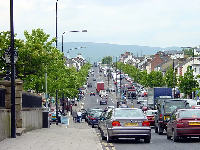 Cookstown City, Mid Ulster15 km SW
-
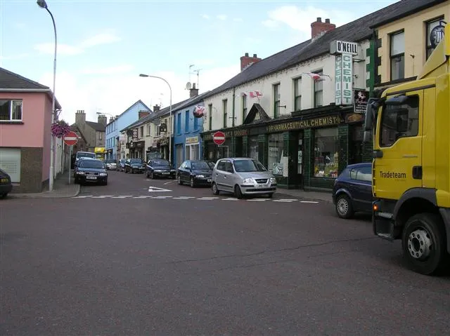 Coalisland Town, Mid Ulster24 km S
-
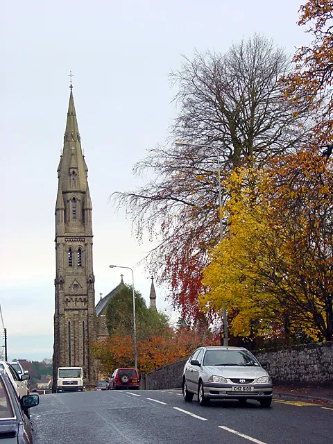 Dungannon City, Mid Ulster30 km S
Sources & licences
Data last updated: · 2 independent sources