Lisburn and Castlereagh
Located in Northern Ireland, United Kingdom Coordinates: 54°30′30″ N 6°03′09″ W
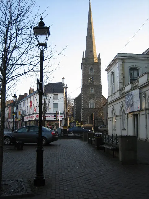
- Population
- 151,669
- 151.7K
- Elevation
- 45 m
- above sea level
- Local time
- UTC+00:00
- Europe/London · UTC+00:00
- Places inside
- 35
- listed under Lisburn and Castlereagh
- Airports
- BHD George Best Belfast City Airport17 km
- BFS Belfast International Airport20 km
About Lisburn and Castlereagh
Lisburn and Castlereagh is a district. Location: Northern Ireland, United Kingdom. Population: 151,669. The best months to visit are June–August. The nearest airport is George Best Belfast City Airport (17 km). Nearby sights include Ravernet River and Ulster Museum.
Climate of Lisburn and Castlereagh
Best months for sightseeingBest months for sightseeing: June–August.
This month · November
A wet month
Day 10° · Night 4° · Rain 101 mm
- Hottest month
- July (day 20°)
- Coldest month
- January (night 2°)
- Wettest month
- January (108 mm)
- Driest month
- May (63 mm)
Bars: average monthly low and high temperature. Below: precipitation. Monthly averages for 1970–2000 at about 18 km resolution, adjusted for elevation. Highlighted months are mild and relatively dry. Source: WorldClim 2.1 (CC BY 4.0).
Show values as a table
| Month | Jan | Feb | Mar | Apr | May | Jun | Jul | Aug | Sep | Oct | Nov | Dec |
|---|---|---|---|---|---|---|---|---|---|---|---|---|
| Average high (°C) | 7° | 8° | 10° | 12° | 15° | 18° | 20° | 19° | 16° | 13° | 10° | 8° |
| Average low (°C) | 2° | 2° | 3° | 4° | 7° | 9° | 12° | 11° | 9° | 7° | 4° | 2° |
| Precipitation (mm) | 108 | 74 | 88 | 69 | 63 | 69 | 73 | 91 | 95 | 108 | 101 | 101 |
How to get to Lisburn and Castlereagh
The nearest airport is George Best Belfast City Airport (BHD), 17 km to the northeast as the crow flies. For international flights: Belfast International Airport (BFS) (20 km). The nearest large city is Belfast, 13 km to the northeast.
Airports
- George Best Belfast City Airport (BHD) Belfast 17 kmnortheast
- Belfast International Airport (BFS) Belfast 20 kmnorthwest
- City of Derry Airport (LDY) Derry, Derry and Strabane 93 kmnorthwest
Nearby large cities
- Belfast Population: 348K 13 kmnortheast
- Dublin Population: 1M 131 kmsouth
- Glasgow Population: 626.4K 189 kmnortheast
- Blackpool Population: 145K 211 kmeast
- Preston Population: 313.3K 234 kmeast
Straight-line distances; road distances are longer. Airport data: OurAirports.
Day trips from Lisburn and Castlereagh
Within 100 km: 87 historic and cultural sites, 488 natural sites, 362 lakes, rivers and coasts.
0–25 km49 places
- Rams Island Island 19 kmNW
- Portmore Lough Lake 16 kmW
- Monlough Lake 13 kmE
- Lough Aghery Lake 12 kmS
25–60 km222 places
- West Maiden Island 51 kmNE
- Reedy Flat Island 28 kmW
- Reagh Island Island 26 kmE
- Lighthouse Island Island 40 kmNE
60–100 km666 places
- Portstewart Beach Beach 86 kmNW
- Benone Beach Beach 91 kmNW
- Portstewart Strand Beach 87 kmNW
- The Skerries Island 88 kmNW
Straight-line distances.
Places in Lisburn and Castlereagh
35 places- 1 Lisburn 77.5K
- 2 Dundonald 14K
- 3 Carryduff 7.8K
- 4 Moira 4.1K
- 5 Hillsborough 3.9K
- 6 Annahilt 1.2K
- 7 Glenavy 1.1K
Bar: population relative to the most populous place in this list.
Cities & villages22
- Aghalee · Village
- Ballinderry Lower · Village
- Ballinderry Upper · Village
- Ballymacrevan · Village
- Boardmills · Village
- Carr · Village
- Crossnacreevy · Village
- Drumbeg · Village
- Drumbo · Village
- Dundrod · Village
- Killaney · Village
- Knockmore · Village
- Lambeg · Village
- Magheragall · Village
- Moneyreagh · Village
- Newtownbreda · Village
- Pipers Cross Roads · Village
- Purdysburn · Village
- Ravernet · Village
- Sprucefield · Village
- Stonyford · Village
- Waringfield · Village
Mountains & nature3
- Collin · Mountain
- Ouley Hill · Mountain
- Sandy Bay · Natural site
Heritage & sights3
- Knockbrackan Mediumwave Transmitter, Mast East · Landmark
- Knockbrackan Mediumwave Transmitter, Mast West · Landmark
- Lisnagarvey Blaw-Knox Radio Mast · Landmark
Nearby attractions & nature
Everything nearby-
Ravernet River River, Northern Ireland0.9 km S
-
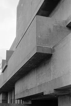 Ulster Museum Museum, Belfast11 km NE
-
Giants Ring Historic site, Belfast7.5 km NE
-
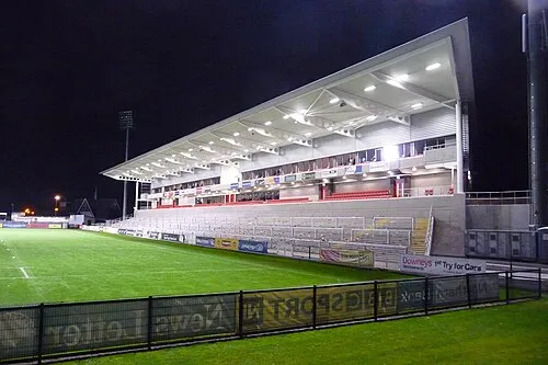 Kingspan Stadium Landmark, Belfast12 km NE
-
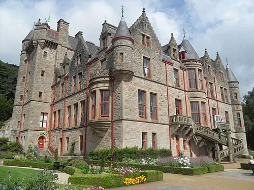 Belfast Castle Historic site, Belfast17 km NE
-
Black Mountain Transmitting Station Landmark, Belfast9 km N
Sources & licences
Data last updated: