- Elevation
- 100 m
- above sea level
- Local time
- UTC+00:00
- Europe/London · UTC+00:00
- Airports
- BFS Belfast International Airport35 km
- LDY City of Derry Airport48 km
About Churchtown
Churchtown is a village. Location: Mid Ulster, Northern Ireland. Elevation: 100 m. The best months to visit are June–August. The nearest airport is Belfast International Airport (35 km). Nearby sights include Slieve Gallion and Fir Mountain.
Climate of Churchtown
Best months for sightseeingBest months for sightseeing: June–August.
This month · November
A wet month
Day 10° · Night 4° · Rain 133 mm
- Hottest month
- July (day 19°)
- Coldest month
- January (night 2°)
- Wettest month
- October (134 mm)
- Driest month
- May (75 mm)
Bars: average monthly low and high temperature. Below: precipitation. Monthly averages for 1970–2000 at about 18 km resolution, adjusted for elevation. Highlighted months are mild and relatively dry. Source: WorldClim 2.1 (CC BY 4.0).
Show values as a table
| Month | Jan | Feb | Mar | Apr | May | Jun | Jul | Aug | Sep | Oct | Nov | Dec |
|---|---|---|---|---|---|---|---|---|---|---|---|---|
| Average high (°C) | 7° | 7° | 9° | 11° | 14° | 17° | 19° | 18° | 16° | 13° | 10° | 8° |
| Average low (°C) | 2° | 2° | 3° | 4° | 7° | 9° | 11° | 11° | 9° | 7° | 4° | 3° |
| Precipitation (mm) | 131 | 99 | 107 | 81 | 75 | 81 | 83 | 105 | 112 | 134 | 133 | 134 |
How to get to Churchtown
The nearest airport is Belfast International Airport (BFS), 35 km to the east as the crow flies. The nearest large city is Belfast, 54 km to the east.
Airports
- Belfast International Airport (BFS) Belfast 35 kmeast
- City of Derry Airport (LDY) Derry, Derry and Strabane 48 kmnorthwest
- George Best Belfast City Airport (BHD) Belfast 57 kmeast
Nearby large cities
- Belfast Population: 348K 54 kmeast
- Dublin Population: 1M 154 kmsouth
- Glasgow Population: 626.4K 206 kmnortheast
- Limerick Population: 102.3K 256 kmsouthwest
- Blackpool Population: 145K 260 kmeast
Straight-line distances; road distances are longer. Airport data: OurAirports.
Day trips from Churchtown
Within 100 km: 98 historic and cultural sites, 731 natural sites, 721 lakes, rivers and coasts.
0–25 km49 places
- Lough Neagh Lake 23 kmE
- Lough Macrory Lake 24 kmW
- Lough Fingrean Lake 24 kmW
- Lough Fea Lake 7 kmNW
25–60 km275 places
- Portstewart Beach Beach 54 kmN
- Benone Beach Beach 55 kmN
- Portstewart Strand Beach 54 kmN
- Reedy Flat Island 25 kmSE
60–100 km1,226 places
- Island Roy Island 87 kmNW
- Lisfannon Beach Beach 65 kmNW
- West Maiden Island 71 kmNE
- The Skerries Island 61 kmN
Straight-line distances.
Nearby attractions & nature
Everything nearby-
Slieve Gallion Mountain, Mid Ulster5.6 km N
-
Fir Mountain Mountain, Mid Ulster6.6 km NW
-
Slieve Gallion NE Top Mountain, Mid Ulster7.2 km N
-
Lough Fea Lake, Northern Ireland6.5 km NW
-
Oughtmore Mountain, Mid Ulster8.4 km W
-
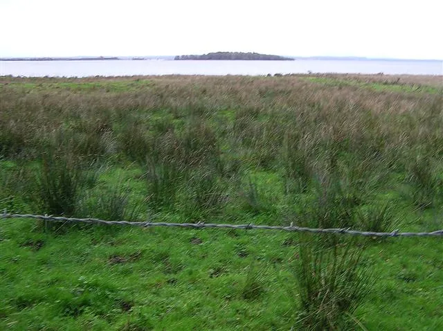 Coney Island Island, Northern Ireland23 km SE
Other cities and towns in Mid Ulster
-
 Castledawson Village, Mid Ulster16 km NE
-
Draperstown Village, Mid Ulster13 km N
-
Maghera Village, Mid Ulster19 km N
-
Drumshanbo-Glebe Village, Mid Ulster8.4 km SW
-
Corchoney Cross Roads Village, Mid Ulster8.5 km SW
-
 Beaghmore Village, Mid Ulster12 km W
Sources & licences
Data last updated: