- Elevation
- 245 m
- above sea level
- Local time
- UTC+00:00
- Europe/London · UTC+00:00
- Airports
- BFS Belfast International Airport40 km
- LDY City of Derry Airport42 km
About Lough Fea
Lough Fea is a lake. Location: Northern Ireland, United Kingdom. Elevation: 245 m. The best months to visit are June–August. The nearest airport is Belfast International Airport (40 km). Nearby sights include Fir Mountain and Oughtmore.
Climate of Lough Fea
Best months for sightseeingBest months for sightseeing: June–August.
This month · November
A wet month
Day 9° · Night 3° · Rain 133 mm
- Hottest month
- July (day 18°)
- Coldest month
- January (night 1°)
- Wettest month
- October (134 mm)
- Driest month
- May (75 mm)
Bars: average monthly low and high temperature. Below: precipitation. Monthly averages for 1970–2000 at about 18 km resolution, adjusted for elevation. Highlighted months are mild and relatively dry. Source: WorldClim 2.1 (CC BY 4.0).
Show values as a table
| Month | Jan | Feb | Mar | Apr | May | Jun | Jul | Aug | Sep | Oct | Nov | Dec |
|---|---|---|---|---|---|---|---|---|---|---|---|---|
| Average high (°C) | 6° | 6° | 8° | 10° | 13° | 16° | 18° | 17° | 15° | 12° | 9° | 7° |
| Average low (°C) | 1° | 1° | 2° | 3° | 6° | 8° | 10° | 10° | 8° | 6° | 3° | 2° |
| Precipitation (mm) | 131 | 99 | 107 | 81 | 75 | 81 | 83 | 105 | 112 | 134 | 133 | 134 |
How to get to Lough Fea
The nearest airport is Belfast International Airport (BFS), 40 km to the east as the crow flies. The nearest large city is Belfast, 60 km to the east.
Airports
- Belfast International Airport (BFS) Belfast 40 kmeast
- City of Derry Airport (LDY) Derry, Derry and Strabane 42 kmnorthwest
- George Best Belfast City Airport (BHD) Belfast 63 kmeast
Nearby large cities
- Belfast Population: 348K 60 kmeast
- Dublin Population: 1M 159 kmsouth
- Glasgow Population: 626.4K 208 kmnortheast
- Limerick Population: 102.3K 257 kmsouthwest
- Blackpool Population: 145K 266 kmeast
Straight-line distances; road distances are longer. Airport data: OurAirports.
Nearest towns and villages
-
Dunmore Village, Mid Ulster3.7 km SE
-
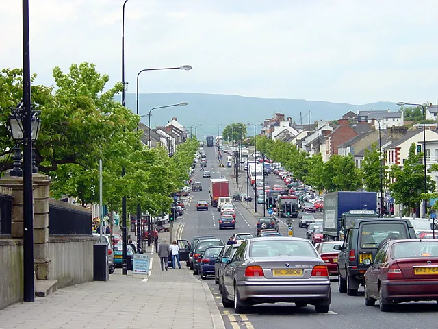 Cookstown City, Mid Ulster9.9 km SE
-
The Six Towns Village, Mid Ulster4.3 km NW
-
Draperstown Village, Mid Ulster10 km NE
-
Beaghmore Village, Mid Ulster6.7 km W
-
Churchtown Village, Mid Ulster6.5 km SE
Nearby attractions & nature
Everything nearby-
Fir Mountain Mountain, Mid Ulster0.9 km SW
-
Oughtmore Mountain, Mid Ulster3.7 km SW
-
Slieve Gallion Mountain, Mid Ulster5.7 km E
-
Slieve Gallion NE Top Mountain, Mid Ulster7.1 km NE
-
Reubens Glen Natural site, Northern Ireland11 km E
-
Mullach Torc Mountain, Mid Ulster8.9 km W
-
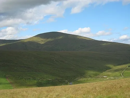 Sawel Mountain Mountain, Derry City and Strabane17 km NW
-
Carnanelly Mountain, Mid Ulster9.8 km NW
More lakes, rivers and coasts in United Kingdom
-
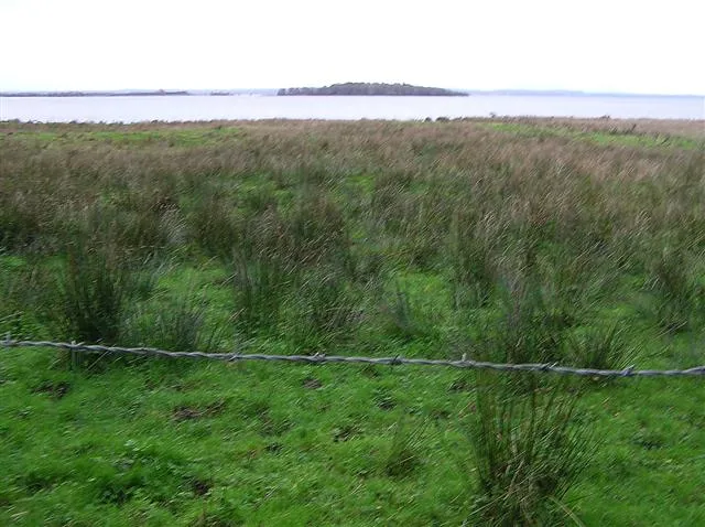 Coney Island Island, Northern Ireland29 km SE
-
Lough Fingrean Lake, Northern Ireland20 km W
-
Lough Macrory Lake, Northern Ireland20 km SW
-
Coneyglen Burn River, Northern Ireland15 km W
-
Broughderg River River, Northern Ireland15 km W
-
Lough Beg Lake, Northern Ireland25 km E
Sources & licences
Data last updated: