Island MacHugh
Located in Northern Ireland, United Kingdom Coordinates: 54°42′00″ N 7°28′00″ W
- Elevation
- 160 m
- above sea level
- Local time
- UTC+00:00
- Europe/London · UTC+00:00
- Airports
- LDY City of Derry Airport43 km
- CFN Donegal Airport68 km
About Island MacHugh
Island MacHugh is an island. Location: Northern Ireland, United Kingdom. The best months to visit are July–August. The nearest airport is City of Derry Airport (43 km). Nearby sights include Lough Catherine and Forster's Mountain.
Climate of Island MacHugh
Best months for sightseeingBest months for sightseeing: July–August.
This month · November
A wet month
Day 9° · Night 4° · Rain 195 mm
- Hottest month
- July (day 18°)
- Coldest month
- January (night 2°)
- Wettest month
- November (195 mm)
- Driest month
- May (93 mm)
Bars: average monthly low and high temperature. Below: precipitation. Monthly averages for 1970–2000 at about 18 km resolution, adjusted for elevation. Highlighted months are mild and relatively dry. Source: WorldClim 2.1 (CC BY 4.0).
Show values as a table
| Month | Jan | Feb | Mar | Apr | May | Jun | Jul | Aug | Sep | Oct | Nov | Dec |
|---|---|---|---|---|---|---|---|---|---|---|---|---|
| Average high (°C) | 7° | 7° | 9° | 11° | 14° | 16° | 18° | 18° | 15° | 12° | 9° | 7° |
| Average low (°C) | 2° | 2° | 3° | 4° | 6° | 9° | 11° | 11° | 9° | 7° | 4° | 3° |
| Precipitation (mm) | 163 | 117 | 129 | 97 | 93 | 103 | 110 | 133 | 154 | 179 | 195 | 190 |
How to get to Island MacHugh
The nearest airport is City of Derry Airport (LDY), 43 km to the northeast as the crow flies. For international flights: Belfast International Airport (BFS) (81 km). The nearest large city is Belfast, 100 km to the east.
Airports
- City of Derry Airport (LDY) Derry, Derry and Strabane 43 kmnortheast
- Donegal Airport (CFN) Donegal 68 kmnorthwest
- Belfast International Airport (BFS) Belfast 81 kmeast
Nearby large cities
- Belfast Population: 348K 100 kmeast
- Dublin Population: 1M 172 kmsoutheast
- Limerick Population: 102.3K 239 kmsouth
- Glasgow Population: 626.4K 242 kmnortheast
- Blackpool Population: 145K 304 kmeast
Straight-line distances; road distances are longer. Airport data: OurAirports.
Day trips from Island MacHugh
Within 100 km: 124 historic and cultural sites, 781 natural sites, 1,030 lakes, rivers and coasts.
0–25 km80 places
- Island More Island 17 kmN
- Lough Macrory Lake 24 kmE
- Lough Lack Lake 16 kmSW
- Lough Fingrean Lake 23 kmE
25–60 km725 places
- Island Roy Island 58 kmN
- Lisfannon Beach Beach 44 kmN
- Inishteige Island 53 kmSW
- Station Island Island 28 kmW
60–100 km1,130 places
- Portstewart Beach Beach 71 kmNE
- Benone Beach Beach 64 kmNE
- Portstewart Strand Beach 69 kmNE
- Strandhill Beach Beach 88 kmSW
Straight-line distances.
Nearest towns and villages
-
Newtownstewart Village, Derry City and Strabane6 km E
-
Crew Lower Village, Derry City and Strabane3.2 km W
-
Ardstraw Village, Derry City and Strabane3.7 km N
-
Crew Village, Derry City and Strabane3.7 km NW
-
Bellway Village, Derry City and Strabane3.9 km S
-
Victoria Bridge Village, Derry City and Strabane6.6 km N
Nearby attractions & nature
Everything nearby-
Lough Catherine Lake, Northern Ireland<0.1 km N
-
Forster's Mountain Mountain, Derry City and Strabane2.4 km SW
-
Bessy Bell Mountain, Fermanagh and Omagh4.9 km E
-
River Derg River, Northern Ireland4.3 km NE
-
Douglas Burn River, Northern Ireland5.7 km N
-
Fearns Hill Mountain, County Donegal8.3 km NW
-
Mary Gray Mountain, Derry City and Strabane8.8 km E
-
Raws Hill Mountain, County Donegal11 km NW
More lakes, rivers and coasts in United Kingdom
-
Strule River River, Northern Ireland6.7 km E
-
Lough Bradan Lake, Northern Ireland16 km SW
-
Lough Lack Lake, Northern Ireland16 km SW
-
Cappagh Burn River, Northern Ireland10 km SE
-
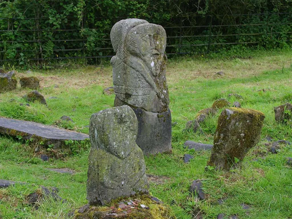 Boa Island Island, Northern Ireland31 km SW
-
Owenkillew River River, Northern Ireland11 km E
Sources & licences
Data last updated: · 2 independent sources