- Elevation
- 1,291 m
- above sea level
- Local time
- UTC+00:00
- Europe/London · UTC+00:00
- Airports
- INV Inverness Airport58 km
- DND Dundee Airport79 km
About Cairn Toul
Cairn Toul is a mountain. Location: Aberdeenshire, Scotland. Elevation: 1,291 m.
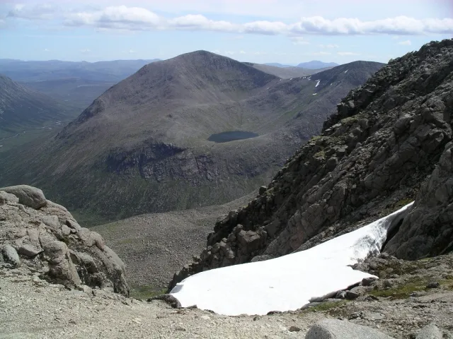
Cairn Toul (Scottish Gaelic: Càrn an t-Sabhail, 'hill of the barn') is the 4th-highest mountain in Scotland and all of the British Isles, after Ben Nevis, Ben Macdui and Braeriach. The summit is 1,291 metres (4,236 feet) above sea level. It is in the western massif of the Cairngorms, linked by a bealach at about 1125 m to Braeriach. The mountain towers above the Lairig Ghru pass. Cairn Toul is often climbed together with other peaks.
Source: Wikipedia · CC BY-SA 4.0
At a glance
- Topographic prominence
- 166 m
Source: Wikidata
Photos of Cairn Toul
-

Alan O'Dowd · CC BY-SA 2.0 -

Alan O'Dowd · CC BY-SA 2.0 -

Peter S · CC BY-SA 2.0 -

Peter S · CC BY-SA 2.0 -

Fraser.dav1 · CC BY-SA 4.0


Climate of Cairn Toul
This month · November
A wet month
Day 1° · Night -4° · Rain 176 mm
- Hottest month
- July (day 11°)
- Coldest month
- February (night -7°)
- Wettest month
- January (208 mm)
- Driest month
- June (93 mm)
Bars: average monthly low and high temperature. Below: precipitation. Monthly averages for 1970–2000 at about 18 km resolution, adjusted for elevation. Highlighted months are mild and relatively dry. Source: WorldClim 2.1 (CC BY 4.0).
Show values as a table
| Month | Jan | Feb | Mar | Apr | May | Jun | Jul | Aug | Sep | Oct | Nov | Dec |
|---|---|---|---|---|---|---|---|---|---|---|---|---|
| Average high (°C) | -1° | -2° | 0° | 3° | 7° | 10° | 11° | 11° | 8° | 4° | 1° | -1° |
| Average low (°C) | -6° | -7° | -6° | -5° | -2° | 1° | 3° | 3° | 1° | -2° | -4° | -6° |
| Precipitation (mm) | 208 | 136 | 157 | 98 | 99 | 93 | 95 | 111 | 147 | 179 | 176 | 177 |
How to get to Cairn Toul
The nearest airport is Inverness Airport (INV), 58 km to the north as the crow flies. For international flights: Aberdeen International Airport (ABZ) (93 km). The nearest large city is Dundee, 79 km to the southeast.
Airports
- Inverness Airport (INV) Inverness, Highland 58 kmnorth
- Dundee Airport (DND) Dundee 79 kmsoutheast
- Aberdeen International Airport (ABZ) Aberdeen 93 kmeast
Nearby large cities
- Dundee Population: 148.2K 79 kmsoutheast
- Aberdeen Population: 198.6K 98 kmeast
- Edinburgh Population: 515K 127 kmsouth
- Glasgow Population: 626.4K 137 kmsouth
- Newcastle upon Tyne Population: 300.1K 266 kmsoutheast
Straight-line distances; road distances are longer. Airport data: OurAirports.
Day trips from Cairn Toul
Within 100 km: 87 historic and cultural sites, 3,935 natural sites, 692 lakes, rivers and coasts.
0–25 km413 places
- Eilean na Cluanaich Island 24 kmW
- Tom Dubh Island 15 kmNW
- Eilean Dubh Island 15 kmNW
- Ballochbuie Island Island 20 kmW
25–60 km1,694 places
- Eilean nan Faoileag Island 50 kmNW
- Bàn Eilean Island 55 kmW
- Eilean an Righ Island 47 kmW
- Isle of Spar Island 55 kmS
60–100 km2,607 places
- Balbithan Island Island 86 kmE
- Findlays Seat Mountain 65 kmNE
- Lossiemouth East Beach Beach 78 kmN
- Sunnyside Beach Beach 91 kmNE
Straight-line distances.
Nearest towns and villages
Nearby attractions & nature
Everything nearby-
Stob Coire an t-Saighdeir Mountain, Aberdeenshire0.9 km S
-
Sgor an Lochain Uaine Mountain, Aberdeenshire1 km NW
-
Lochan Uaine Lake, Aberdeenshire0.9 km NW
-
 The Devil's Point Mountain, Aberdeenshire2.5 km SE
-
 Ben Macdui Mountain, Moray3.1 km NE
-
Braeriach Mountain, Aberdeenshire2.9 km N
-
 Carn a' Mhaim Mountain, Aberdeenshire3.7 km SE
-
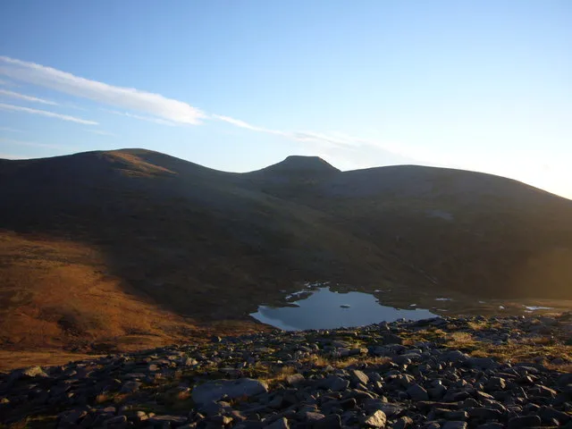 Monadh Mor Mountain, Highland3.9 km SW
More nature in United Kingdom
-
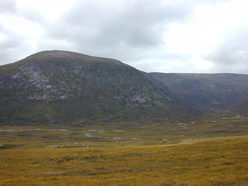 Beinn Bhrotain Mountain, Aberdeenshire5 km S
-
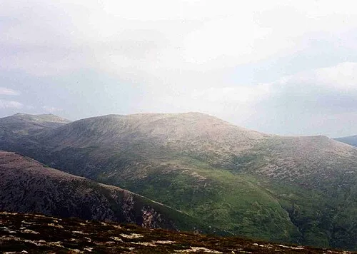 Derry Cairngorm Mountain, Aberdeenshire5.5 km E
-
Glen Geusachan Natural site, Aberdeenshire3 km S
-
Glen Dee Natural site, Aberdeenshire4 km SE
-
Carn na Criche Mountain, Aberdeenshire2.6 km W
-
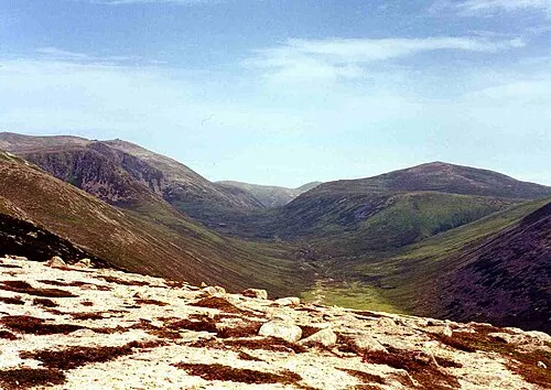 Beinn a' Chaorainn Mountain, Aberdeenshire9.2 km NE
Sources & licences
Data last updated: · 2 independent sources