The Devil's Point
Located in Aberdeenshire, Scotland Coordinates: 57°02′08″ N 3°41′20″ W
- Elevation
- 1,007 m
- above sea level
- Local time
- UTC+00:00
- Europe/London · UTC+00:00
About The Devil's Point
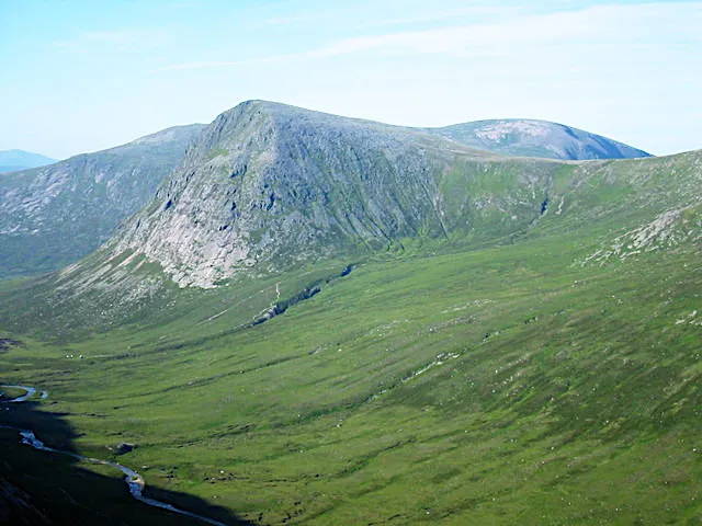
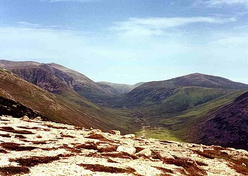
The Devil's Point is a mountain. Location: Aberdeenshire, Scotland. Elevation: 1,007 m.
The Devil's Point (Scottish Gaelic: Bod an Deamhain) is a mountain in the Cairngorms of Scotland, lying to the west of the Lairig Ghru pass. The Gaelic name means "Penis of the Demon". The English name is a result of a visit to the area by Queen Victoria. She asked her local ghillie, John Brown, to translate the name; to avoid embarrassment he gave a euphemistic answer.
Read more on Wikipedia Text: Wikipedia contributors · CC BY-SA 4.0 · shortened
At a glance
- Topographic prominence
- 89 m
Source: Wikidata
In comparison
- No. 244 of 18223 mountains in United Kingdom by elevation
- 75 sights and natural places within 10 km Glen Geusachan, Glen Dee
Nearest towns and villages
Nearby attractions & nature
Everything nearby-
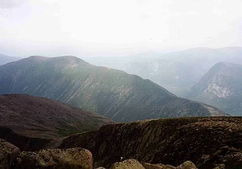 Carn a' Mhaim Mountain, Aberdeenshire1.9 km E
-
Glen Geusachan Natural site, Aberdeenshire1.2 km SW
-
Glen Dee Natural site, Aberdeenshire1.5 km S
-
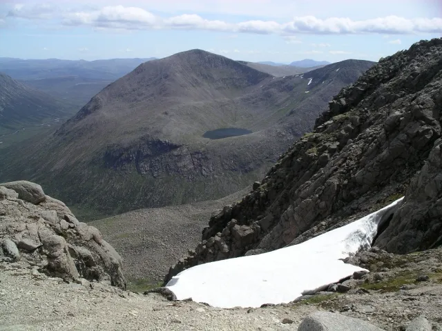 Cairn Toul Mountain, Aberdeenshire2.5 km NW
-
Stob Coire an t-Saighdeir Mountain, Aberdeenshire1.8 km NW
-
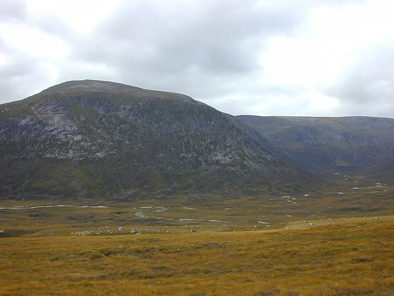 Beinn Bhrotain Mountain, Aberdeenshire3.6 km SW
-
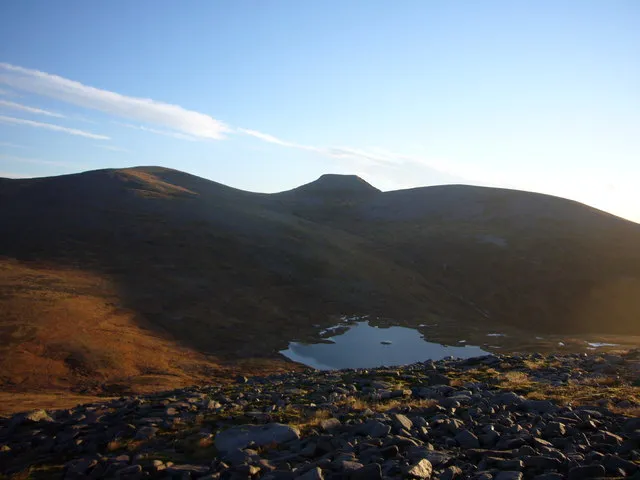 Monadh Mor Mountain, Highland3.8 km W
-
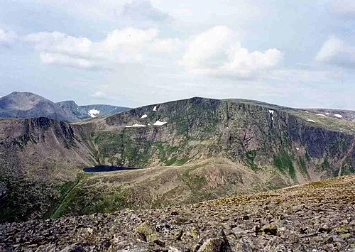 Ben Macdui Mountain, Moray4.1 km N
More nature in United Kingdom
-
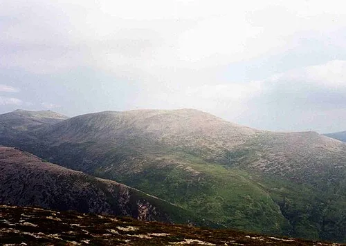 Derry Cairngorm Mountain, Aberdeenshire5.1 km NE
-
Braeriach Mountain, Aberdeenshire5.3 km NW
-
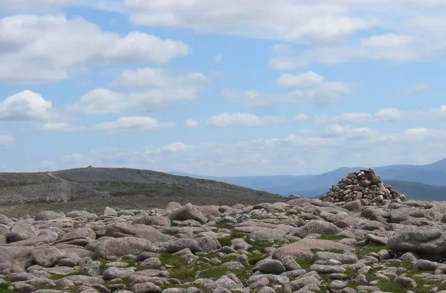 Beinn Bhreac Mountain, Aberdeenshire8.5 km E
-
 Beinn a' Chaorainn Mountain, Aberdeenshire9.3 km NE
-
Beinn Bhrotain East Top Mountain, Aberdeenshire3.1 km SW
-
Sgor an Lochain Uaine Mountain, Aberdeenshire3.4 km NW
Sources & licences
Data last updated: · 2 independent sources