Aberdeenshire
Local name: Siorrachd Obar Dheathain
Located in Scotland, United Kingdom Coordinates: 57°10′00″ N 2°40′00″ W
- Population
- 265,080
- 265.1K
- Elevation
- 381 m
- above sea level
- Local time
- UTC+00:00
- Europe/London · UTC+00:00
- Places inside
- 1,391
- listed under Aberdeenshire
About Aberdeenshire
Aberdeenshire is a district. Location: Scotland, United Kingdom. Population: 265,080.
Aberdeenshire (Scots: Aiberdeenshire; Scottish Gaelic: Siorrachd Obar Dheathain) is one of the 32 council areas of Scotland. It takes its name from the historic county of Aberdeenshire, which had substantially different boundaries. The Aberdeenshire Council area includes all of the areas of the historic counties of Aberdeenshire and Kincardineshire except the area making up Aberdeen City Council area, as well as part of Banffshire.
Read more on Wikipedia Text: Wikipedia contributors · CC BY-SA 4.0 · shortened
At a glance
- Area
- 6,313 km²
Source: Wikidata
In comparison
- 30 sights and natural places within 10 km Benaquhallie, Red Hill
- Listed here: Mountain: 639, Village: 531, Natural site: 64, River: 63
Airports nearest to Aberdeenshire
- Aberdeen International Airport (ABZ) Aberdeen 29 km
- Dundee Airport (DND) Dundee 82 km
- Inverness Airport (INV) Inverness, Highland 93 km
Straight-line distance; airports with scheduled flights only. Source: OurAirports (public domain).
Places in Aberdeenshire
1,391 places-
Peterhead Town19.1K
-
Inverurie Town14.7K
-
Fraserburgh Town12.6K
-
Westhill Town12.1K
-
Stonehaven Town11.2K
-
Ellon Town10.1K
-
Portlethen Town8.2K
-
Banchory Town7.4K
-
Turriff Town5.1K
-
Huntly Village4.6K
-
Kintore Village4.7K
-
Banff Village4K
-
Macduff Village4K
-
Kemnay Village3.8K
-
Oldmeldrum Village3.2K
-
Blackburn Village3K
-
Laurencekirk Village2.9K
-
Newtonhill Village3K
-
Mintlaw Village2.7K
-
Insch Village2.3K
-
Aboyne Village2.6K
-
Alford Village2.3K
-
Balmedie Village2.5K
-
Newmachar Village2.5K
-
Inverbervie Village2.3K
-
Portsoy Village1.7K
-
Cruden Bay Village1.7K
-
Port Erroll Village1.6K
-
Ballater Village1.6K
-
Newburgh Village1.5K
-
Pitmedden Village1.4K
-
Torphins Village1.4K
-
Rosehearty Village1.3K
-
Boddam Village1.3K
-
Aberchirder Village1.2K
-
New Pitsligo Village1.2K
-
Whitehills Village1.1K
-
Rothienorman Village1.1K
-
Saint Cyrus Village1.1K
-
Tarves Village1K
-
Longside Village960
-
Strichen Village940
-
Potterton Village920
-
Hatton Village890
-
Maud Village870
-
Crimond Village860
-
Drumoak Village860
-
Sandhaven Village820
-
Gourdon Village750
-
Kingseat Village750
-
Saint Fergus Village750
-
Bridgend Village740
-
Tarland Village720
-
Stuartfield Village700
-
Gardenstown Village670
-
Johnshaven Village670
-
New Deer Village660
-
Saint Combs Village660
-
Lumphanan Village550
-
Auchenblae Village540
Nearby attractions & nature
Everything nearby-
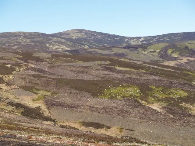 Mount Battock Mountain, Angus25 km S
-
Balbithan Island Island, Scotland22 km NE
-
Blairs Wood Natural site, Scotland18 km NE
-
Hall Forest Natural site, Scotland19 km NE
-
Gueval Wood Natural site, Scotland25 km E
-
Hill of Cat Mountain, Angus24 km SW
Sources & licences
Data last updated: · 2 independent sources