Peterhead
Local name: Ceann Phàdraig
Located in Aberdeenshire, Scotland Coordinates: 57°30′19″ N 1°47′04″ W

- Population
- 19,060
- 19.1K
- Elevation
- 11 m
- above sea level
- Local time
- UTC+00:00
- Europe/London · UTC+00:00
About Peterhead
Peterhead is a town. Location: Aberdeenshire, Scotland. Population: 19,060. Elevation: 11 m.
Peterhead (; Scottish Gaelic: Ceann Phàdraig, Scots: Peterheid ) is a town in Aberdeenshire, Scotland. It is the largest settlement in the council area, with a population of 19,791 at the 2022 Census. It is the busiest fishing port in the United Kingdom for total landings by UK vessels, according to a 2019 survey. Peterhead sits at the easternmost point in mainland Scotland. It is often referred to as The Blue Toun (locally spelled "The Bloo Toon") and locals are known as Bloo Touners.
Read more on Wikipedia Text: Wikipedia contributors · CC BY-SA 4.0 · shortened
In comparison
- Most populous of 63 places in Aberdeenshire
- Nearest larger town: Bridge of Don, 40 km SW
- 18 sights and natural places within 10 km Peterhead Bay, Keith Inch
Airports nearest to Peterhead
- Aberdeen International Airport (ABZ) Aberdeen 42 km
- Wick John O'Groats Airport (WIC) Wick 131 km
- Inverness Airport (INV) Inverness, Highland 136 km
Straight-line distance; airports with scheduled flights only. Source: OurAirports (public domain).
Nearby attractions & nature
Everything nearby-
Peterhead Bay Natural site, Aberdeenshire0.7 km S
-
Keith Inch Island, Aberdeenshire0.9 km E
-
Balmoor Landmark, Aberdeenshire1 km NW
-
River Ugie River, Aberdeenshire1.5 km NW
-
Meet Hill Mountain, Aberdeenshire2.6 km S
-
Sandford Bay Natural site, Aberdeenshire2.4 km S
-
Meikle Mackie Island, Aberdeenshire3.5 km S
-
Buchan Ness Lighthouse Landmark, Aberdeenshire3.9 km S
Other cities and towns in Aberdeenshire
-
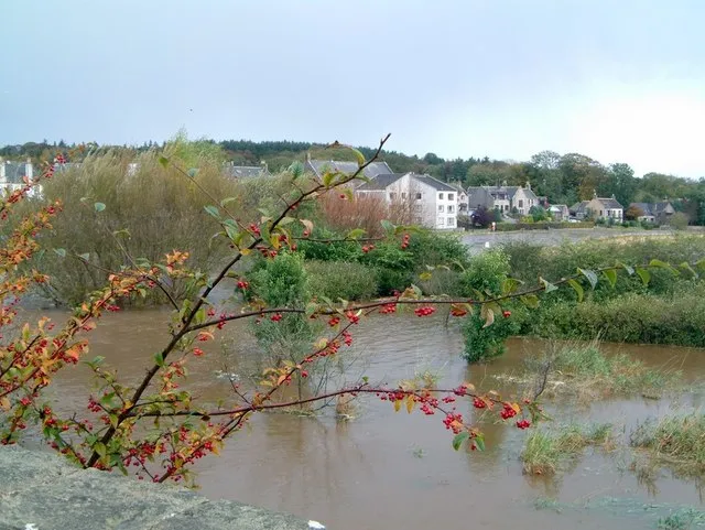 Ellon Town, Aberdeenshire23 km SW
-
Fraserburgh Town, Aberdeenshire25 km NW
-
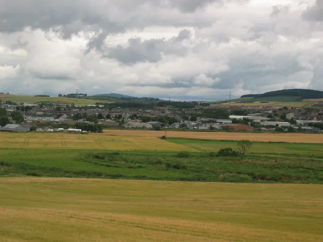 Inverurie Town, Aberdeenshire43 km SW
-
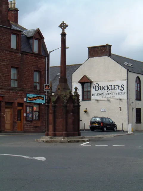 Turriff Town, Aberdeenshire41 km W
-
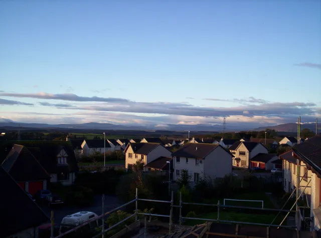 Westhill Town, Aberdeenshire49 km SW
-
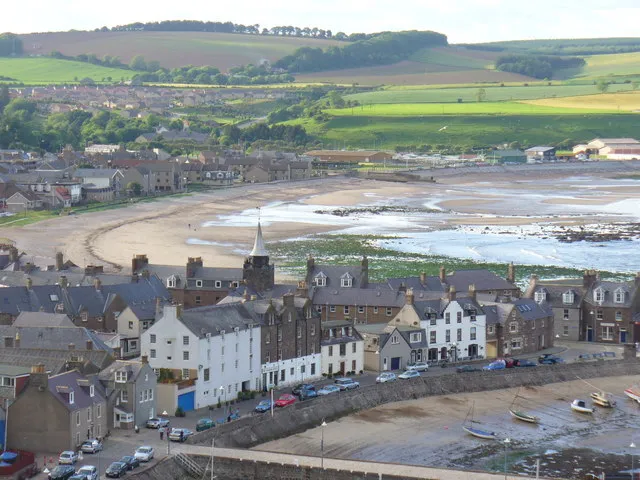 Stonehaven Town, Aberdeenshire66 km SW
Sources & licences
Data last updated: · 2 independent sources