- Population
- 12,110
- 12.1K
- Elevation
- 127 m
- above sea level
- Local time
- UTC+00:00
- Europe/London · UTC+00:00
- Airports
- ABZ Aberdeen International Airport7 km
- DND Dundee Airport90 km
About Westhill
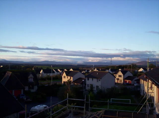
Westhill is a town. Location: Aberdeenshire, Scotland. Population: 12,110. Elevation: 127 m.
Westhill is a suburban town in Aberdeenshire, Scotland, located 7 miles (11 km) west of the city of Aberdeen. As of 2022, it has a population of 11,750, making it one of the largest towns in Aberdeenshire. The town is a blend of villages and farms that were gradually incorporated during its expansion in the latter half of the 20th century, most notably Elrick. It has a swimming pool, shopping centre, library, golf club and nature reserve.
Source: Wikipedia · CC BY-SA 4.0
Photos of Westhill
-

Colin Smith · CC BY-SA 2.0 -

Watty62 · CC BY-SA 4.0 -

Stanley Howe · CC BY-SA 2.0 -

Bill Harrison · CC BY-SA 2.0


Travel notes for Westhill
From Wikivoyage
Westhill is a town in Aberdeenshire, seven miles west of Aberdeen. It was built as a "greenfield" commuter town and industrial park from 1968, and by 2022 had grown to a population of 12,000. So it's a bland modern place, yet it's set in a landscape of ancient stone circles and castles. It's also close to Aberdeen Airport and might be a more interesting stop-over than the airport hotels.
Understand+
Scotland's postwar population increased rapidly and its existing housing stock was in poor condition, or in the wrong place as new industries replaced the old. The mid-to-late 20th century was an era of ambitious but not entirely successful house building, best known being the "New Towns" of Livingston, Glenrothes, Cumbernauld, East Kilbride and Irvine. There were also substantial developments expanding existing cities, and a few greenfield settlements that didn't follow the pattern of the New Towns - and Westhill is one of these.
The name "Westhill" was conjured up in 1859 when a landowner combined the farms and names of Wester Kinmundy and Blackhills. It remained farmland until 1968 when a local entrepreneur developed it, nicely timed to catch the Aberdeen oil boom. It grew rapidly as a commuter town and as a light-industrial park for any business that didn't care to pay Aberdeen's spiralling land prices and taxes. In the 1980s the city council eyed this upstart town and tried to incorporate it within Aberdeen, but was rebuffed sharply enough that it hasn't tried again. The local oil and gas industries are in their sunset years as North Sea reserves become harder to reach and carbon-based fuels are seen as harmful. Nevertheless it's still a major player in Westhill, for instance in sub-sea ROV and robot technology to replace human divers. And any commuter or business looking for a cheap alternative to the city is ten years too late, as prices within Westhill rocketed even before the re-aligned A90 improved its transport.
Get in+
1 Aberdeen Airport (ABZ IATA) is 6 miles north of Westhill. By public transport you need to go into city centre and out again, but a taxi will scoot along the A90 in ten minutes.
Aberdeen is the nearest railway station, with hourly services from Dundee which variously start from Edinburgh, Glasgow or London. The city also has trains every couple of hours from Inverness, ferries from Orkney and Shetland, and inter-city buses.
Road access to Westhill was greatly improved in 2019 by the A90 Aberdeen bypass, officially the Western Peripheral Route. This makes a great loop west of the city to pass within a mile of Westhill, so coming from south or north, follow A90, which is mostly fast dual-carriageway. The last mile is on A944, which runs from Aberdeen to Westhill then away out cross-country to Rhynie, which is almost a byword for "nowhere in particular".
By bus the operator is Stagecoach North Scotland. All buses start from Aberdeen Union Square, next to the railway station and ferry port.
- Bus 4 / 5 / 6 / 6a to Kingswells P&R and Westhill (45 min), M-Sa every 20 min and Sunday every 30 min. Bus 14 also runs as far as the P&R.
- Night bus N3 runs F Sa at midnight, 1:30AM and 2:45AM.
- Bus 218 to Kingswells P&R and Alford four times M-Sa.
Buses loop around Westhill Drive, Old Skene Rd, Wellgrove Rd and Straik Rd, there's no bus station
Source: Wikivoyage · CC BY-SA 4.0 · abridged
Climate of Westhill
Best months for sightseeingBest months for sightseeing: June–August.
This month · November
A cold month
Day 8° · Night 1° · Rain 84 mm
- Hottest month
- July (day 18°)
- Coldest month
- January (night -1°)
- Wettest month
- October (86 mm)
- Driest month
- April (53 mm)
Bars: average monthly low and high temperature. Below: precipitation. Monthly averages for 1970–2000 at about 18 km resolution, adjusted for elevation. Highlighted months are mild and relatively dry. Source: WorldClim 2.1 (CC BY 4.0).
Show values as a table
| Month | Jan | Feb | Mar | Apr | May | Jun | Jul | Aug | Sep | Oct | Nov | Dec |
|---|---|---|---|---|---|---|---|---|---|---|---|---|
| Average high (°C) | 5° | 6° | 8° | 11° | 14° | 16° | 18° | 18° | 15° | 12° | 8° | 5° |
| Average low (°C) | -1° | -1° | 1° | 2° | 5° | 8° | 10° | 9° | 7° | 5° | 1° | -1° |
| Precipitation (mm) | 85 | 58 | 62 | 53 | 56 | 56 | 62 | 67 | 73 | 86 | 84 | 77 |
How to get to Westhill
The nearest airport is Aberdeen International Airport (ABZ), 7 km to the northeast as the crow flies. The nearest large city is Aberdeen, 11 km to the east.
Airports
- Aberdeen International Airport (ABZ) Aberdeen 7 kmnortheast
- Dundee Airport (DND) Dundee 90 kmsouthwest
- Inverness Airport (INV) Inverness, Highland 115 kmnorthwest
Nearby large cities
- Aberdeen Population: 198.6K 11 kmeast
- Dundee Population: 148.2K 87 kmsouthwest
- Edinburgh Population: 515K 145 kmsouthwest
- Glasgow Population: 626.4K 188 kmsouthwest
- Newcastle upon Tyne Population: 300.1K 246 kmsouth
Straight-line distances; road distances are longer. Airport data: OurAirports.
Day trips from Westhill
Within 100 km: 74 historic and cultural sites, 1,586 natural sites, 269 lakes, rivers and coasts.
0–25 km191 places
- Balbithan Island Island 11 kmN
- Newburgh Seals Beach Beach 25 kmNE
- Aberdeen Beach Beach 12 kmE
- Loch of Skene Lake 4 kmW
25–60 km663 places
- Keith Inch Island 50 kmNE
- The Donnons Island 39 kmNE
- Inch Geck Island 27 kmNE
- Dundonnie Island 46 kmNE
60–100 km1,075 places
- Findlays Seat Mountain 72 kmNW
- Lossiemouth East Beach Beach 87 kmNW
- Sunnyside Beach Beach 67 kmNW
- Island of Dundurcas Island 69 kmNW
Straight-line distances.
Nearby attractions & nature
Everything nearby-
Mains of Kinmundy Mountain, Aberdeenshire1.1 km N
-
Hill of Keir Mountain, Aberdeenshire2 km NW
-
Hill of Ord Mountain, Aberdeenshire2.2 km S
-
Cloghill Mountain, Aberdeen City2.4 km E
-
Auchronie Hill Mountain, Aberdeenshire3.6 km NW
-
Kingshill Mountain, Aberdeen City3.1 km SE
-
Brimmond Hill Mountain, Aberdeen City3.3 km NE
-
Loch of Skene Lake, Aberdeenshire4.3 km W
Other cities and towns in Aberdeenshire
-
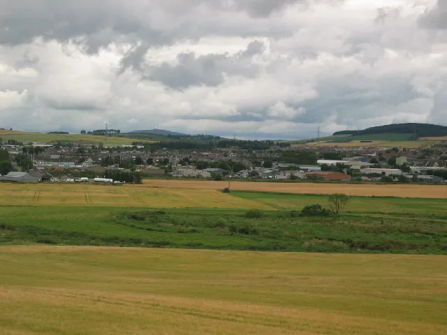 Inverurie Town, Aberdeenshire16 km N
-
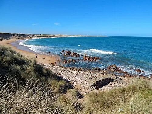 Peterhead Town, Aberdeenshire49 km NE
-
Portlethen Town, Aberdeenshire13 km SE
-
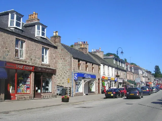 Banchory Town, Aberdeenshire17 km SW
-
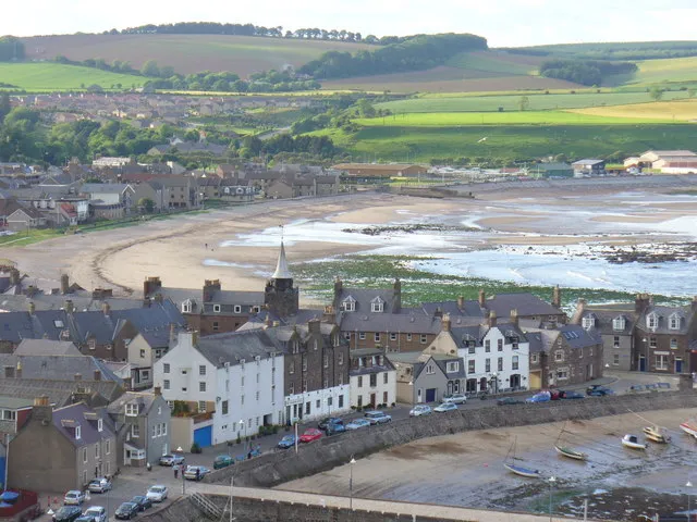 Stonehaven Town, Aberdeenshire21 km S
-
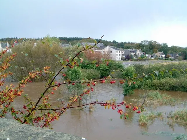 Ellon Town, Aberdeenshire27 km NE
Sources & licences
Data last updated: · 2 independent sources