- Population
- 7,440
- 7.4K
- Elevation
- 60 m
- above sea level
- Local time
- UTC+00:00
- Europe/London · UTC+00:00
- Airports
- ABZ Aberdeen International Airport24 km
- DND Dundee Airport74 km
About Banchory
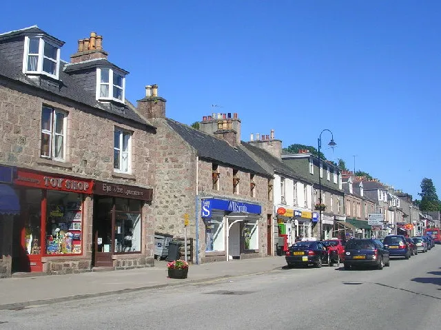
Banchory is a town. Location: Aberdeenshire, Scotland. Population: 7,440. Elevation: 60 m.
Banchory (, Scots: Banchry, Scottish Gaelic: Beannchar) is a burgh or town in Aberdeenshire, historically in Kincardineshire, Scotland. It is about 18 miles (29 km) west of Aberdeen, near where the River Feugh meets the River Dee.
Source: Wikipedia · CC BY-SA 4.0
Travel notes for Banchory
From Wikivoyage
Banchory is a town in Aberdeenshire, with a population in 2016 of 7560. It's in the scenic Dee valley 18 miles (25 km) west of Aberdeen, and its main visitor attraction is Crathes Castle. It's also a good base for visiting Balmoral Castle and Cairngorms National Park.
Get in+
See Aberdeen for air, rail and road inter-city transport.
Stagecoach Bluebird Bus 201 runs from Aberdeen Union Square every 30 min to Crathes Castle and Banchory (50 min). Alternate buses continue up the Dee Valley to Ballater and Balmoral Castle, and every couple of hours they reach Braemar.
Source: Wikivoyage · CC BY-SA 4.0 · abridged
Climate of Banchory
Best months for sightseeingBest months for sightseeing: June–August.
This month · November
A cold month
Day 8° · Night 2° · Rain 79 mm
- Hottest month
- July (day 19°)
- Coldest month
- January (night 0°)
- Wettest month
- October (83 mm)
- Driest month
- April (51 mm)
Bars: average monthly low and high temperature. Below: precipitation. Monthly averages for 1970–2000 at about 18 km resolution, adjusted for elevation. Highlighted months are mild and relatively dry. Source: WorldClim 2.1 (CC BY 4.0).
Show values as a table
| Month | Jan | Feb | Mar | Apr | May | Jun | Jul | Aug | Sep | Oct | Nov | Dec |
|---|---|---|---|---|---|---|---|---|---|---|---|---|
| Average high (°C) | 6° | 6° | 9° | 11° | 14° | 17° | 19° | 19° | 16° | 12° | 8° | 6° |
| Average low (°C) | 0° | 0° | 1° | 3° | 5° | 8° | 10° | 10° | 8° | 5° | 2° | 0° |
| Precipitation (mm) | 82 | 55 | 59 | 51 | 56 | 54 | 59 | 66 | 70 | 83 | 79 | 72 |
How to get to Banchory
The nearest airport is Aberdeen International Airport (ABZ), 24 km to the northeast as the crow flies. The nearest large city is Aberdeen, 26 km to the northeast.
Airports
- Aberdeen International Airport (ABZ) Aberdeen 24 kmnortheast
- Dundee Airport (DND) Dundee 74 kmsouthwest
- Inverness Airport (INV) Inverness, Highland 109 kmnorthwest
Nearby large cities
- Aberdeen Population: 198.6K 26 kmnortheast
- Dundee Population: 148.2K 71 kmsouthwest
- Edinburgh Population: 515K 130 kmsouth
- Glasgow Population: 626.4K 171 kmsouthwest
- Newcastle upon Tyne Population: 300.1K 238 kmsouth
Straight-line distances; road distances are longer. Airport data: OurAirports.
Day trips from Banchory
Within 100 km: 87 historic and cultural sites, 1,919 natural sites, 326 lakes, rivers and coasts.
0–25 km240 places
- Balbithan Island Island 23 kmNE
- Loch of Skene Lake 14 kmNE
- Black Loch Lake 7 kmSW
- Mortlich Mountain 18 kmW
25–60 km847 places
- Newburgh Seals Beach Beach 42 kmNE
- Aberdeen Beach Beach 27 kmNE
- The Donnons Island 56 kmNE
- Inch Geck Island 44 kmNE
60–100 km1,245 places
- Findlays Seat Mountain 72 kmNW
- Lossiemouth East Beach Beach 88 kmNW
- Sunnyside Beach Beach 74 kmN
- Mugdrum Island Island 91 kmSW
Straight-line distances.
Nearby attractions & nature
Everything nearby-
Hill of Maryfield Mountain, Aberdeenshire1.3 km SE
-
Craig of Affrusk Mountain, Aberdeenshire2.3 km S
-
Water of Feugh River, Aberdeenshire2.1 km S
-
Ley Hill Mountain, Aberdeenshire2.7 km NE
-
Tilquhillie Castle Historic site, Aberdeenshire2.4 km SE
-
Rhindbuckie Mountain, Aberdeenshire2.9 km SE
-
Scolty Mountain, Aberdeenshire3.2 km SW
-
Cairnshee Mountain, Aberdeenshire4.1 km SE
Other cities and towns in Aberdeenshire
-
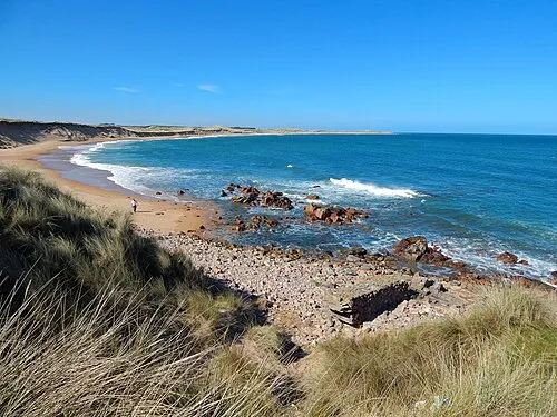 Peterhead Town, Aberdeenshire66 km NE
-
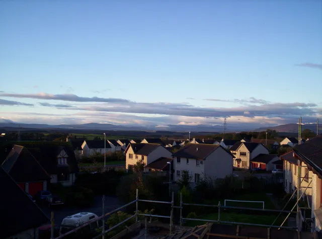 Westhill Town, Aberdeenshire17 km NE
-
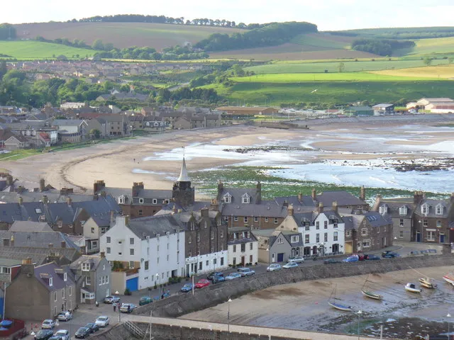 Stonehaven Town, Aberdeenshire19 km SE
-
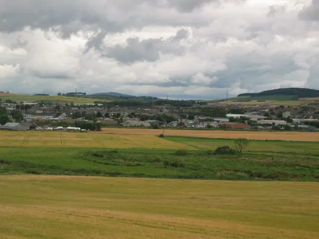 Inverurie Town, Aberdeenshire27 km N
-
Portlethen Town, Aberdeenshire22 km E
-
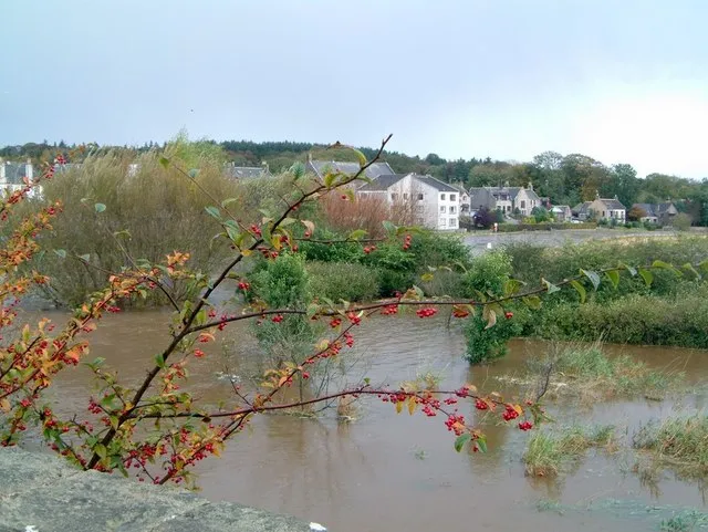 Ellon Town, Aberdeenshire43 km NE
Sources & licences
Data last updated: · 2 independent sources