- Population
- 14,660
- 14.7K
- Elevation
- 63 m
- above sea level
- Local time
- UTC+00:00
- Europe/London · UTC+00:00
- Airports
- ABZ Aberdeen International Airport14 km
- DND Dundee Airport101 km
About Inverurie
Inverurie is a town. Location: Aberdeenshire, Scotland. Population: 14,660. Elevation: 63 m.
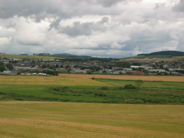
Inverurie ( in-və-ROO-ree; Scottish Gaelic: Inbhir Uraidh or Inbhir Uaraidh, "mouth of the River Ury") is a market town in Aberdeenshire, Scotland at the confluence of the rivers Ury and Don, about 16 miles (26 km) north-west of Aberdeen. It had a population of 15,106 in 2022.
Source: Wikipedia · CC BY-SA 4.0
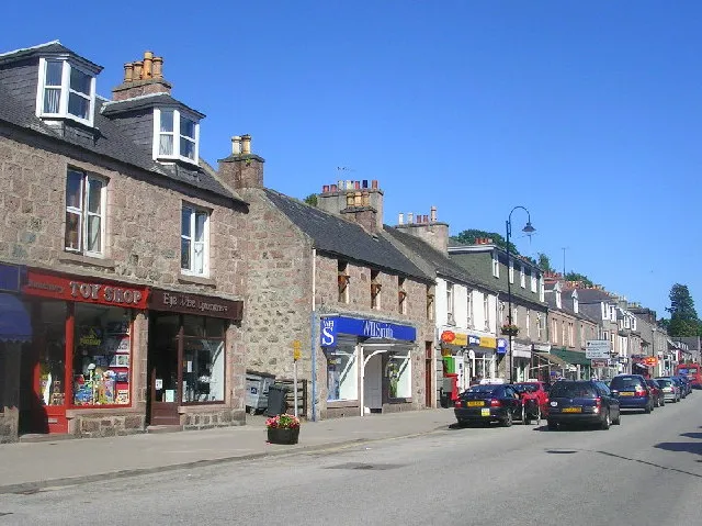
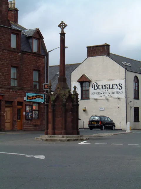
Photos of Inverurie
-

Bill Harrison · CC BY-SA 2.0 -

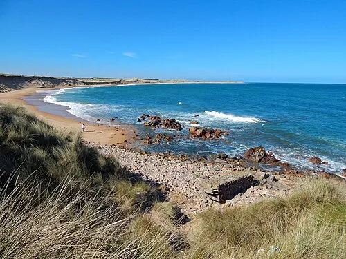
Stanley Howe · CC BY-SA 2.0 -

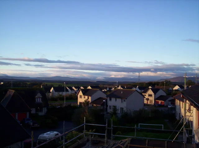
Stanley Howe · CC BY-SA 2.0 -

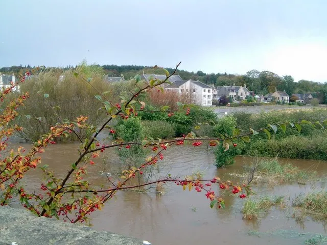
UltrasonicMadness · CC BY-SA 4.0 -

Bill Harrison · CC BY-SA 2.0


Travel notes for Inverurie
From Wikivoyage
Aberdeenshire is a county in the north east of Scotland. It's a long way north - the coastline around Fraserburgh is further north than Newfoundland - but it's mostly lowland, fertile and productive, having more in common with the central belt of Scotland than with the Highlands. To the west rise the Grampian Mountains, with the scenic River Dee flowing out.
This page describes the historic or traditional county, but as elsewhere in Britain, administrative boundaries have chopped and changed. The City of Aberdeen now forms its own metropolis, with a population in 2020 of 490,000. The rest is the local government county of Aberdeenshire, with a 2019 population of 263,000, yet its county seat is still the city.
Understand+
"Understand" is what you are not destined to do if addressed in the local "Doric", see Talk below.
The lowland-highland boundary runs from Helensburgh in the southwest to Stonehaven in the northeast, where it funnels the overland routes to a pinch-point guarded by a much-assaulted castle. But north of that, the terrain opens up again. It's low-lying and well-drained upon a bedrock of Old Red Sandstone, with Aberdeen Angus cattle grazing upon grass that looks greener against the bright red soil. In early modern times the cultural boundary advanced a long way north of the geological boundary, and Aberdeenshire developed industries based on agriculture, forestry and North Sea fish — especially herring, the "silver darling".
To the west rise the Grampian mountains, cloud-wreathed, granite and ill-drained, with poor soil. These were the badlands until the Victorians romanticised them, the Queen herself had a retreat at Balmoral, and sporting guns boomed out against the grouse and deer. Anyone who was wealthy and needed a comfortable base to collect his farm rents while impressing the salons of London with his credentials as a Clan Chieftain would need a castle in Aberdeenshire, so there are lots and lots of these. The railways put tourism within reach of a mass market. Meanwhile the granite was quarried to rebuild Aberdeen, which had suffered far too many fires in its wooden buildings, creating the grey city landscape you see today.
Get in+
Aberdeen is the transport hub for the county, with good air, rail and road connections, and car ferries to Orkney and the Shetland Islands.
In 2019 the A90 was re-routed west of Aberdeen, with the opening of the "Aberdeen Western Peripheral Road" to relieve the congested A92.
For the north end of the county along the Moray Firth, another approach is via Inverness and Elgin.
Source: Wikivoyage · CC BY-SA 4.0 · abridged
Climate of Inverurie
Best months for sightseeingBest months for sightseeing: June–September.
This month · November
A cold month
Day 9° · Night 2° · Rain 76 mm
- Hottest month
- July (day 19°)
- Coldest month
- January (night 0°)
- Wettest month
- October (77 mm)
- Driest month
- April (51 mm)
Bars: average monthly low and high temperature. Below: precipitation. Monthly averages for 1970–2000 at about 18 km resolution, adjusted for elevation. Highlighted months are mild and relatively dry. Source: WorldClim 2.1 (CC BY 4.0).
Show values as a table
| Month | Jan | Feb | Mar | Apr | May | Jun | Jul | Aug | Sep | Oct | Nov | Dec |
|---|---|---|---|---|---|---|---|---|---|---|---|---|
| Average high (°C) | 6° | 7° | 9° | 11° | 14° | 16° | 19° | 19° | 16° | 12° | 9° | 7° |
| Average low (°C) | 0° | 0° | 2° | 3° | 5° | 8° | 10° | 10° | 8° | 5° | 2° | 1° |
| Precipitation (mm) | 75 | 52 | 57 | 51 | 54 | 54 | 59 | 65 | 69 | 77 | 76 | 68 |
Other places to visit in this season: June July August September
How to get to Inverurie
The nearest airport is Aberdeen International Airport (ABZ), 14 km to the southeast as the crow flies. The nearest large city is Aberdeen, 23 km to the southeast.
Airports
- Aberdeen International Airport (ABZ) Aberdeen 14 kmsoutheast
- Dundee Airport (DND) Dundee 101 kmsouthwest
- Inverness Airport (INV) Inverness, Highland 104 kmwest
Nearby large cities
- Aberdeen Population: 198.6K 23 kmsoutheast
- Dundee Population: 148.2K 98 kmsouth
- Edinburgh Population: 515K 157 kmsouth
- Glasgow Population: 626.4K 196 kmsouthwest
- Newcastle upon Tyne Population: 300.1K 262 kmsouth
Straight-line distances; road distances are longer. Airport data: OurAirports.
Day trips from Inverurie
Within 100 km: 71 historic and cultural sites, 1,571 natural sites, 264 lakes, rivers and coasts.
0–25 km169 places
- Balbithan Island Island 5 kmSE
- Newburgh Seals Beach Beach 24 kmE
- Aberdeen Beach Beach 23 kmSE
- Inch Geck Island 23 kmE
25–60 km735 places
- Findlays Seat Mountain 59 kmNW
- Sunnyside Beach Beach 52 kmNW
- Keith Inch Island 44 kmNE
- Island of Dundurcas Island 56 kmNW
60–100 km1,002 places
- Lossiemouth East Beach Beach 73 kmNW
- Island Roary Island 61 kmW
- Craigroy Island Island 61 kmW
- Stony Island Island 62 kmW
Straight-line distances.
Nearby attractions & nature
Everything nearby-
Hill of Ardtannes Mountain, Aberdeenshire2.1 km SW
-
Bruce's Camp Mountain, Aberdeenshire2.6 km S
-
Hill of Selbie Mountain, Aberdeenshire2.6 km NE
-
Craigforthie Mountain, Aberdeenshire3.5 km E
-
Balbithan Island Island, Scotland5.4 km SE
-
Knockinglews Mountain, Aberdeenshire4 km W
-
Blairs Wood Natural site, Scotland5.4 km S
-
Hill of Lethenty Mountain, Aberdeenshire4.3 km N
Other cities and towns in Aberdeenshire
Sources & licences
Data last updated: · 2 independent sources