Monamenach
Located in Angus, Scotland Coordinates: 56°49′13″ N 3°21′06″ W
- Elevation
- 807 m
- above sea level
- Local time
- UTC+00:00
- Europe/London · UTC+00:00
About Monamenach
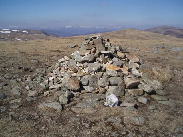
Monamenach is a mountain. Location: Angus, Scotland. Elevation: 807 m.
In comparison
- No. 1211 of 18223 mountains in United Kingdom by elevation
- 80 sights and natural places within 10 km Craigenloch Hill, Cairn Doos
Nearest towns and villages
-
Little Forter Village, Angus5.4 km S
-
Forter Village, Angus5.8 km S
-
Meikle Forter Village, Angus6 km S
-
Glenshee Village Village, Perth and Kinross5.3 km SW
-
Finegand Village, Perth and Kinross5.7 km SW
-
Folda Village, Angus7.3 km S
Nearby attractions & nature
Everything nearby-
Craigenloch Hill Mountain, Perth and Kinross1.2 km SW
-
Cairn Doos Mountain, Angus1.2 km NE
-
Black Hill Mountain, Perth and Kinross1.7 km NW
-
Glen Brighty Natural site, Angus2.1 km N
-
Creagan Caise Hill Mountain, Angus1.8 km S
-
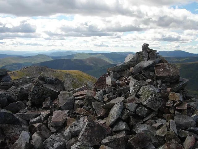 Creag Leacach Mountain, Perth and Kinross4.4 km NW
-
Fore Brae Mountain, Angus3.1 km E
-
Mallrenheskein Mountain, Angus3.2 km NW
More nature in United Kingdom
-
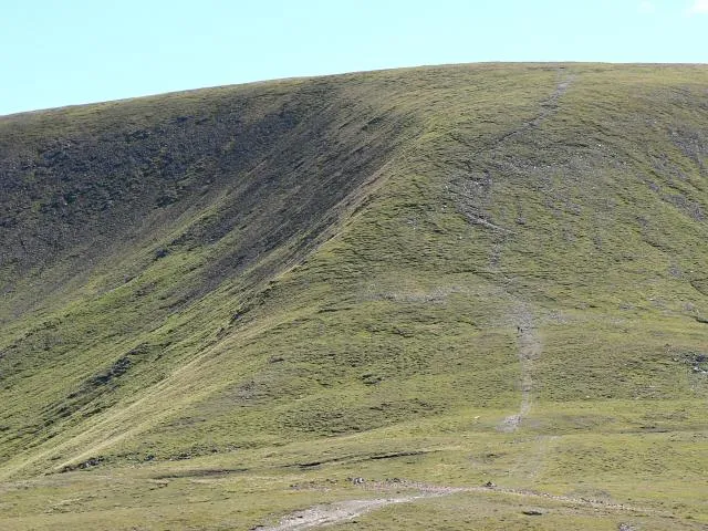 Glas Maol Mountain, Angus6 km N
-
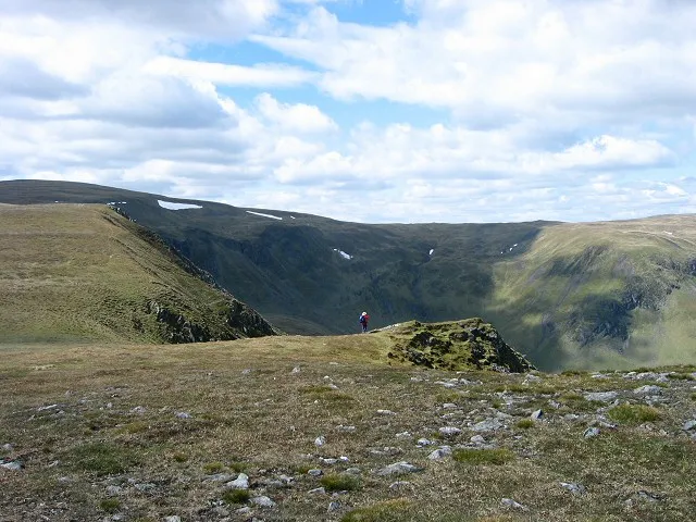 Monega Hill Mountain, Angus5.1 km N
-
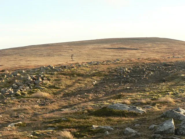 Cairn of Claise Mountain, Angus8.2 km N
-
 Tom Buidhe Mountain, Angus8.9 km NE
-
Craig Lair Mountain, Angus4.1 km E
-
Badandun Hill Mountain, Angus4.2 km SE
Sources & licences
Data last updated: