Beinn Lochain East Top
Located in Argyll and Bute, Scotland Coordinates: 56°09′37″ N 4°57′24″ W
- Elevation
- 643 m
- above sea level
- Local time
- UTC+00:00
- Europe/London · UTC+00:00
- Airports
- GLA Glasgow Airport46 km
- PIK Glasgow Prestwick Airport77 km
About Beinn Lochain East Top
Beinn Lochain East Top is a mountain. Location: Argyll and Bute, Scotland. Elevation: 643 m. The nearest airport is Glasgow Airport (46 km). Nearby sights include Beinn Lochain and Beinn Tharsuinn.
Photos of Beinn Lochain East Top
-
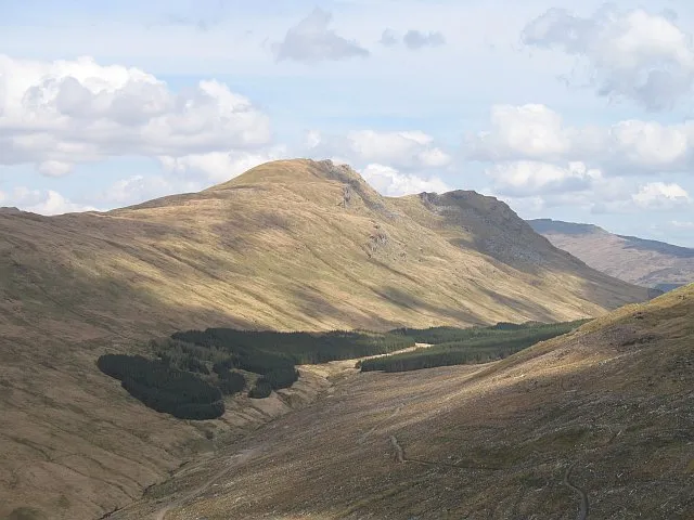
Beinn Lochain Richard Webb · CC BY-SA 2.0 -
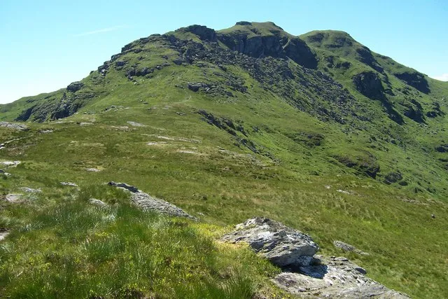
Ben Donich Gordon Wilson · CC BY-SA 2.0 -
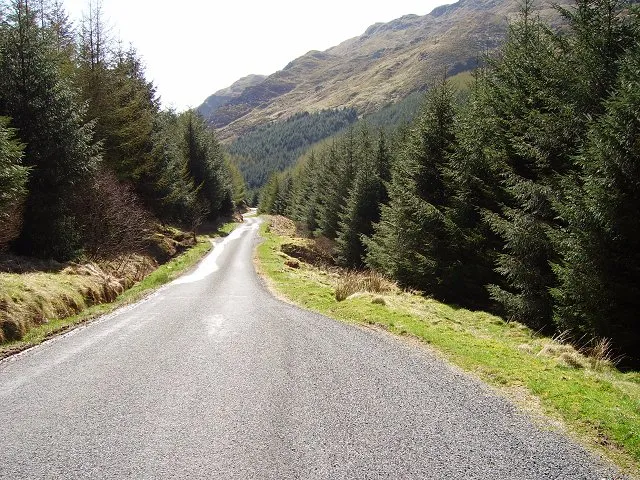
Hells Glen Richard Webb · CC BY-SA 2.0


Climate of Beinn Lochain East Top
This month · November
A wet month
Day 6° · Night 1° · Rain 203 mm
- Hottest month
- July (day 14°)
- Coldest month
- February (night -1°)
- Wettest month
- January (227 mm)
- Driest month
- May (97 mm)
Bars: average monthly low and high temperature. Below: precipitation. Monthly averages for 1970–2000 at about 18 km resolution, adjusted for elevation. Highlighted months are mild and relatively dry. Source: WorldClim 2.1 (CC BY 4.0).
Show values as a table
| Month | Jan | Feb | Mar | Apr | May | Jun | Jul | Aug | Sep | Oct | Nov | Dec |
|---|---|---|---|---|---|---|---|---|---|---|---|---|
| Average high (°C) | 3° | 3° | 5° | 7° | 11° | 13° | 14° | 14° | 12° | 8° | 6° | 4° |
| Average low (°C) | -1° | -1° | -1° | 1° | 3° | 6° | 8° | 8° | 6° | 4° | 1° | -1° |
| Precipitation (mm) | 227 | 145 | 168 | 102 | 97 | 97 | 112 | 134 | 182 | 204 | 203 | 210 |
How to get to Beinn Lochain East Top
The nearest airport is Glasgow Airport (GLA), 46 km to the southeast as the crow flies. The nearest large city is Glasgow, 55 km to the southeast.
Airports
- Glasgow Airport (GLA) Glasgow 46 kmsoutheast
- Glasgow Prestwick Airport (PIK) Prestwick, South Ayrshire 77 kmsouth
- Campbeltown Airport (CAL) Campbeltown 93 kmsouthwest
Nearby large cities
- Glasgow Population: 626.4K 55 kmsoutheast
- Edinburgh Population: 515K 112 kmeast
- Dundee Population: 148.2K 127 kmeast
- Belfast Population: 348K 185 kmsouth
- Aberdeen Population: 198.6K 207 kmnortheast
Straight-line distances; road distances are longer. Airport data: OurAirports.
Day trips from Beinn Lochain East Top
Within 100 km: 129 historic and cultural sites, 3,568 natural sites, 1,339 lakes, rivers and coasts.
0–25 km422 places
- Inishail Island 24 kmN
- Inchlonaig Island 22 kmE
- Bucinch Island 24 kmE
- Inchconnachan Island 23 kmE
25–60 km1,928 places
- Great Cumbrae Island Island 44 kmS
- Hunterston Sands Beach 48 kmS
- Scarba Island 47 kmW
- Eriska Island 50 kmNW
60–100 km2,686 places
- Isle of Arran Island 65 kmS
- Colonsay Island 79 kmW
- Ayr Beach Beach 80 kmS
- Troon Beach Beach 71 kmS
Straight-line distances.
Nearest towns and villages
-
Lochgoilhead Village, Argyll and Bute3.6 km E
-
Invernoaden Village, Argyll and Bute5.1 km SW
-
 Inveraray Village, Argyll and Bute11 km NW
-
Glenbranter Village, Argyll and Bute5.7 km SW
-
Glen Sluain Village, Argyll and Bute6.7 km W
-
Strachur Village, Argyll and Bute6.8 km W
Nearby attractions & nature
Everything nearby-
Beinn Lochain Mountain, Argyll and Bute0.5 km NW
-
Beinn Tharsuinn Mountain, Argyll and Bute1.3 km N
-
Cruach na Cioba Mountain, Argyll and Bute2.2 km W
-
Stob na Boine Druim-fhinn Mountain, Argyll and Bute2.2 km N
-
Beinn Bheula Mountain, Argyll and Bute2.2 km SW
-
Carnach Mor Mountain, Argyll and Bute2.7 km SW
-
Creag Sgoilte Mountain, Argyll and Bute2.8 km S
-
Cruach nam Miseag Mountain, Argyll and Bute2.9 km SE
More nature in United Kingdom
-
Ben Donich Mountain, Argyll and Bute6.7 km NE
-
Hells Glen Natural site, Argyll and Bute6.4 km N
-
Mullach Coire a' Chuir Mountain, Argyll and Bute3.2 km N
-
Monadh Beag Mountain, Argyll and Bute3.5 km NE
-
Cnoc na Tri Criche Mountain, Argyll and Bute3.6 km S
-
Beinn Dubhain Mountain, Argyll and Bute3.7 km SW
Sources & licences
Data last updated: