Beinn Reithe
Located in Argyll and Bute, Scotland Coordinates: 56°08′49″ N 4°51′06″ W
- Elevation
- 656 m
- above sea level
- Local time
- UTC+00:00
- Europe/London · UTC+00:00
About Beinn Reithe
Beinn Reithe is a mountain. Location: Argyll and Bute, Scotland. Elevation: 656 m.
In comparison
- No. 2548 of 18223 mountains in United Kingdom by elevation
- 65 sights and natural places within 10 km The Saddle, Cnoc Coinnich
Nearest towns and villages
-
Glenmallan Village, Argyll and Bute3 km SE
-
Garelochhead Village, Argyll and Bute7.4 km S
-
Lochgoilhead Village, Argyll and Bute4 km NW
-
Portincaple Village, Argyll and Bute5.1 km S
-
Carrick Village, Argyll and Bute6 km SW
-
Whistlefield Village, Argyll and Bute6 km S
Nearby attractions & nature
Everything nearby-
The Saddle Mountain, Argyll and Bute1.7 km S
-
Cnoc Coinnich Mountain, Argyll and Bute2.2 km N
-
Tom Molach Mountain, Argyll and Bute2.7 km SW
-
The Steeple East Top Mountain, Argyll and Bute3 km NW
-
Sron Mallanach Mountain, Argyll and Bute3 km E
-
The Steeple Mountain, Argyll and Bute3.2 km NW
-
Craggan Hill Mountain, Argyll and Bute3.4 km E
-
Clach Bheinn Mountain, Argyll and Bute3.7 km SW
More nature in United Kingdom
-
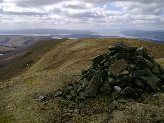 Beinn a' Mhanaich Mountain, Argyll and Bute5.6 km SE
-
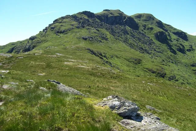 Ben Donich Mountain, Argyll and Bute5.9 km N
-
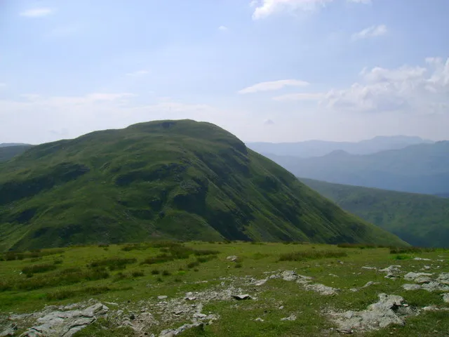 Doune Hill Mountain, Argyll and Bute6.3 km E
-
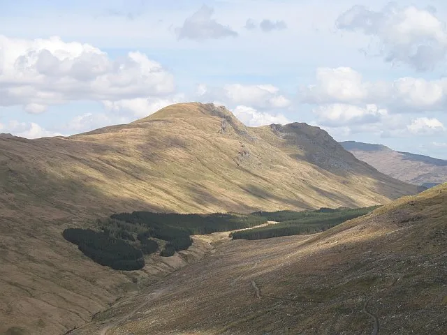 Beinn Lochain Mountain, Argyll and Bute7.2 km W
-
The Brack SW Top Mountain, Argyll and Bute3.7 km N
-
Cruach nam Miseag Mountain, Argyll and Bute4.7 km W
Sources & licences
Data last updated: