Coirc Bheinn
Located in Argyll and Bute, Scotland Coordinates: 56°25′09″ N 6°04′32″ W
- Elevation
- 561 m
- above sea level
- Local time
- UTC+00:00
- Europe/London · UTC+00:00
About Coirc Bheinn
Coirc Bheinn is a mountain. Location: Argyll and Bute, Scotland. Elevation: 561 m.
In comparison
- No. 3763 of 18223 mountains in United Kingdom by elevation
- 48 sights and natural places within 10 km A' Mhaol Mhor, Ben More
Nearest towns and villages
-
Gribun Village, Argyll and Bute3.8 km W
-
Balmeanach Village, Argyll and Bute4 km W
-
Balnahard Village, Argyll and Bute4 km NW
-
Kilfinchen Village, Argyll and Bute4 km S
-
Clachandhu Village, Argyll and Bute4.1 km NW
-
Dishig Village, Argyll and Bute4.2 km NW
Nearby attractions & nature
Everything nearby-
A' Mhaol Mhor Mountain, Argyll and Bute2 km NW
-
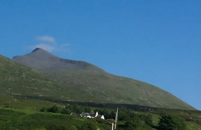 Ben More Mountain, Argyll and Bute3.8 km E
-
Beinn na Sreine Mountain, Argyll and Bute3.8 km SW
-
Kilfinichen Bay Natural site, Argyll and Bute4 km S
-
A' Chioch Mountain, Argyll and Bute4.8 km E
-
Fionna Mham Mountain, Argyll and Bute5.2 km SW
-
Beinn Fhada NW Top Mountain, Argyll and Bute5.2 km NE
-
Eilean na h-Òrdaig Island, Argyll and Bute4.7 km S
Sources & licences
Data last updated: