Lettermay Burn
Located in Argyll and Bute, Scotland Coordinates: 56°09′00″ N 4°55′00″ W
- Elevation
- 208 m
- above sea level
- Local time
- UTC+00:00
- Europe/London · UTC+00:00
About Lettermay Burn
Lettermay Burn is a river. Location: Argyll and Bute, Scotland.
In comparison
- 61 sights and natural places within 10 km Cruach nam Miseag, Loch Goil
Nearest towns and villages
-
Lochgoilhead Village, Argyll and Bute2.5 km NE
-
Garelochhead Village, Argyll and Bute9.3 km SE
-
Carrick Village, Argyll and Bute5.7 km S
-
Glenmallan Village, Argyll and Bute6.6 km SE
-
Invernoaden Village, Argyll and Bute7 km W
-
Portincaple Village, Argyll and Bute7.1 km SE
Nearby attractions & nature
Everything nearby-
Cruach nam Miseag Mountain, Argyll and Bute1.2 km SW
-
Loch Goil Natural site, Argyll and Bute2.2 km SE
-
The Steeple Mountain, Argyll and Bute2.6 km NE
-
Beinn Lochain East Top Mountain, Argyll and Bute2.7 km NW
-
The Steeple East Top Mountain, Argyll and Bute2.8 km NE
-
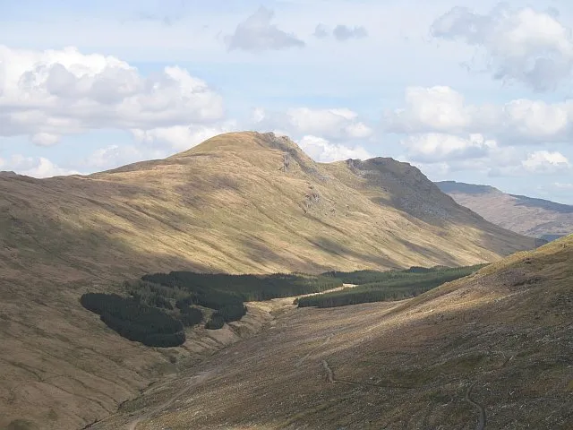 Beinn Lochain Mountain, Argyll and Bute3.3 km NW
-
Cnoc na Tri Criche Mountain, Argyll and Bute3.3 km SW
-
Beinn Bheula Mountain, Argyll and Bute3.5 km W
Sources & licences
Data last updated: