- Elevation
- 764 m
- above sea level
- Local time
- UTC+00:00
- Europe/London · UTC+00:00
- Airports
- GLA Glasgow Airport56 km
- PIK Glasgow Prestwick Airport94 km
About Meall an Fhudair
Meall an Fhudair is a mountain. Location: Argyll and Bute, Scotland. Elevation: 764 m. The nearest airport is Glasgow Airport (56 km). Nearby sights include Troisgeach and Beinn Damhain.
Photos of Meall an Fhudair
-
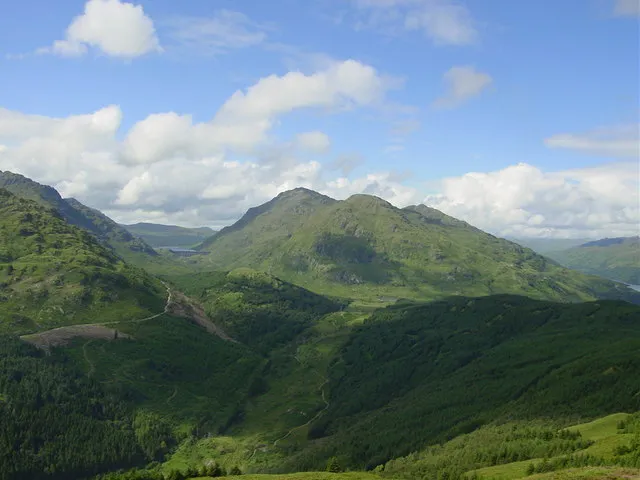
Ben Vorlich Alan White · CC BY-SA 2.0 -
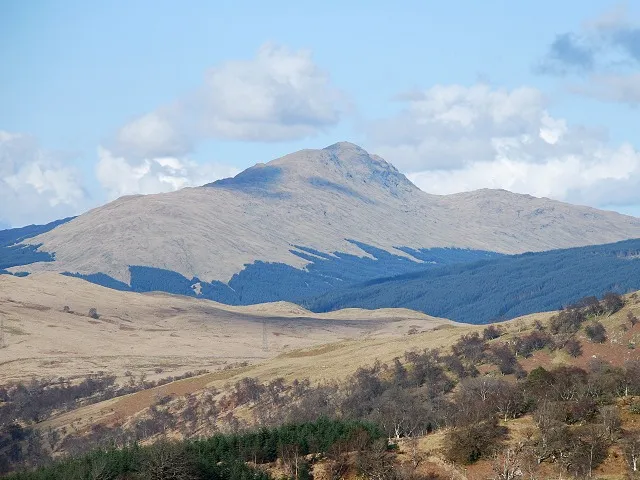
Beinn Bhuidhe Patrick Mackie · CC BY-SA 2.0 -
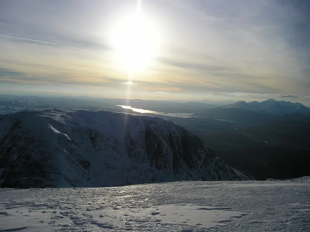
Beinn a' Chleibh Kathryn Mair · CC BY-SA 2.0 -
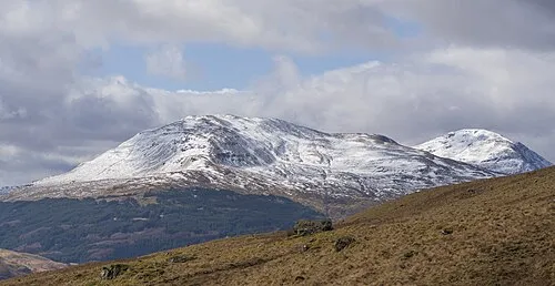
Ben Oss John Knight from Clackmannanshire, Scotland · CC BY 2.0 -
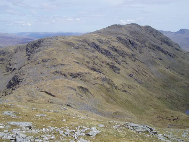
Beinn Dubhchraig John Armitstead · CC BY-SA 2.0


Climate of Meall an Fhudair
This month · November
A wet month
Day 4° · Night -1° · Rain 252 mm
- Hottest month
- July (day 13°)
- Coldest month
- February (night -3°)
- Wettest month
- January (288 mm)
- Driest month
- June (113 mm)
Bars: average monthly low and high temperature. Below: precipitation. Monthly averages for 1970–2000 at about 18 km resolution, adjusted for elevation. Highlighted months are mild and relatively dry. Source: WorldClim 2.1 (CC BY 4.0).
Show values as a table
| Month | Jan | Feb | Mar | Apr | May | Jun | Jul | Aug | Sep | Oct | Nov | Dec |
|---|---|---|---|---|---|---|---|---|---|---|---|---|
| Average high (°C) | 2° | 2° | 3° | 6° | 10° | 12° | 13° | 13° | 11° | 7° | 4° | 2° |
| Average low (°C) | -3° | -3° | -2° | -1° | 2° | 5° | 7° | 7° | 5° | 2° | -1° | -2° |
| Precipitation (mm) | 288 | 187 | 206 | 121 | 121 | 113 | 129 | 155 | 215 | 251 | 252 | 260 |
How to get to Meall an Fhudair
The nearest airport is Glasgow Airport (GLA), 56 km to the southeast as the crow flies. The nearest large city is Glasgow, 62 km to the southeast.
Airports
- Glasgow Airport (GLA) Glasgow 56 kmsoutheast
- Glasgow Prestwick Airport (PIK) Prestwick, South Ayrshire 94 kmsouth
- Edinburgh Airport (EDI) Ingliston, Edinburgh 98 kmsoutheast
Nearby large cities
- Glasgow Population: 626.4K 62 kmsoutheast
- Edinburgh Population: 515K 108 kmeast
- Dundee Population: 148.2K 114 kmeast
- Aberdeen Population: 198.6K 188 kmnortheast
- Belfast Population: 348K 206 kmsouth
Straight-line distances; road distances are longer. Airport data: OurAirports.
Day trips from Meall an Fhudair
Within 100 km: 127 historic and cultural sites, 4,150 natural sites, 1,330 lakes, rivers and coasts.
0–25 km439 places
- Inishail Island 18 kmW
- Fraoch Eilean Island 16 kmW
- Island I Vow Island 9 kmSE
- Inveruglas Isle Island 11 kmSE
25–60 km2,023 places
- Scarba Island 59 kmW
- Eriska Island 44 kmNW
- Torsa Island Island 51 kmW
- Shuna Island Island 47 kmNW
60–100 km3,145 places
- Isle of Arran Island 86 kmS
- Great Cumbrae Island Island 63 kmS
- Colonsay Island 93 kmW
- Ayr Beach Beach 98 kmS
Straight-line distances.
Nearest towns and villages
-
 Inverarnan Village, Stirling4.8 km E
-
Ardlui Village, Argyll and Bute6 km SE
-
Clachan Village, Argyll and Bute11 km SW
-
Inveruglas Village, Argyll and Bute11 km SE
-
 Inveraray Village, Argyll and Bute21 km SW
-
Cairndow Village, Argyll and Bute12 km SW
Nearby attractions & nature
Everything nearby-
Troisgeach Mountain, Stirling2 km E
-
Beinn Damhain Mountain, Argyll and Bute2.3 km SE
-
Trosgiche Mountain, Argyll and Bute2.3 km W
-
Lochan Beinn Damhain Lake, Argyll and Bute2.9 km SE
-
Garabal Hill Mountain, Argyll and Bute3.4 km SE
-
Maol Breac Mountain, Argyll and Bute3.6 km S
-
Lochan Srath Dubh-uisge Lake, Argyll and Bute3.6 km S
-
Ben Oss Mountain, Stirling6.3 km N
More nature in United Kingdom
-
Beinn a' Chleibh Mountain, Argyll and Bute6.7 km N
-
Beinn Bhuidhe Mountain, Argyll and Bute6.7 km W
-
Ben Vorlich Mountain, Argyll and Bute7.2 km S
-
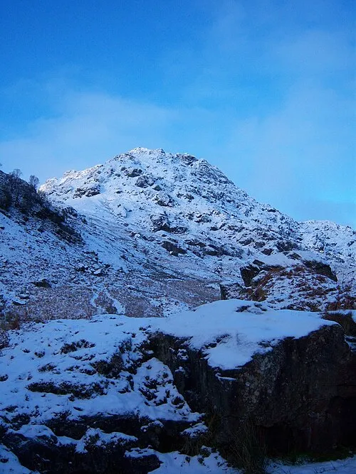 Ben Vane Mountain, Argyll and Bute9.4 km S
-
Glen Fyne Natural site, Argyll and Bute5.6 km SW
-
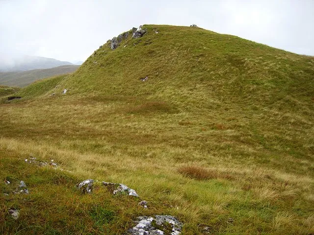 Beinn Bhalgairean Mountain, Argyll and Bute8.4 km NW
Sources & licences
Data last updated: