Ben Oss
Located in Stirling, Scotland Coordinates: 56°23′21″ N 4°46′32″ W
- Elevation
- 1,029 m
- above sea level
- Local time
- UTC+00:00
- Europe/London · UTC+00:00
About Ben Oss
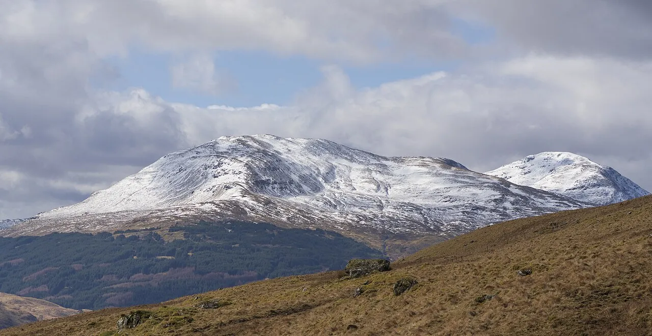
Ben Oss is a mountain. Location: Stirling, Scotland. Elevation: 1,029 m.
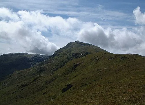
Ben Oss (Scottish Gaelic: Beinn Os) is a mountain in the southern Highlands of Scotland. It is a Munro with a height of 1,029 metres (3,376 ft). Ben Oss is on the border of Argyll and Perthshire, southwest of Tyndrum, within Loch Lomond and the Trossachs National Park. It is part of a mountain chain that includes three other Munros. When viewed from the north or south it is seen as a distinct pointed hill in contrast to its more bulky neighbour Beinn Dubhchraig, with which it is usually climbed.
Read more on Wikipedia Text: Wikipedia contributors · CC BY-SA 4.0 · shortened
At a glance
- Topographic prominence
- 342 m
Source: Wikidata
In comparison
- No. 200 of 18223 mountains in United Kingdom by elevation
- 62 sights and natural places within 10 km Ben Oss North Top, Loch Oss
Nearest towns and villages
-
Tyndrum Village, Stirling6.5 km NE
-
Clifton Village, Stirling6.5 km NE
-
Inverarnan Village, Stirling7.5 km SE
-
Auchtertyre Village, Stirling7.6 km NE
-
Crianlarich Village, Stirling9.6 km E
-
Inverardran Village, Stirling10 km E
Nearby attractions & nature
Everything nearby-
Ben Oss North Top Mountain, Stirling0.6 km NE
-
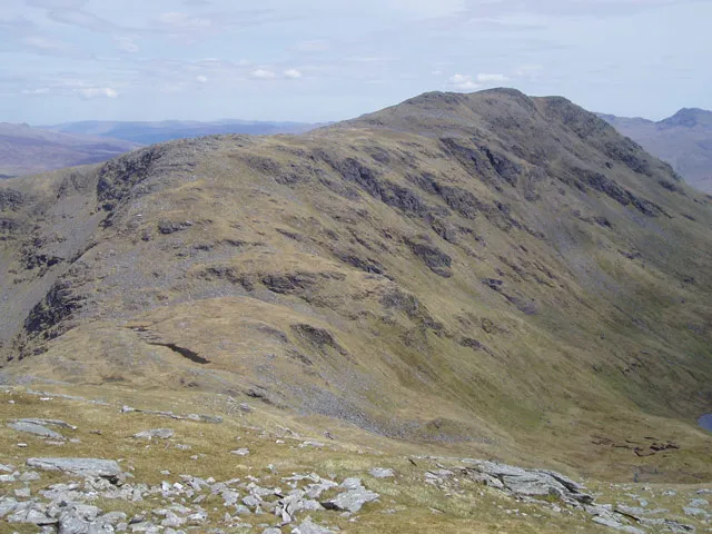 Beinn Dubhchraig Mountain, Stirling2 km E
-
Ben Lui Mountain, Stirling2.4 km W
-
Loch Oss Lake, Stirling1.3 km E
-
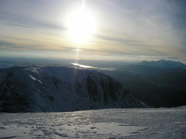 Beinn a' Chleibh Mountain, Argyll and Bute3.7 km W
-
Ben Lui NW Top Mountain, Stirling2.4 km NW
-
Beinn Chuirn South Top Mountain, Stirling3.4 km NW
-
Lochan Uaine Lake, Stirling3 km S
More nature in United Kingdom
-
Creag nan Caorann Mountain, Stirling3.9 km SE
-
Beinn Chuirn Mountain, Stirling3.9 km N
-
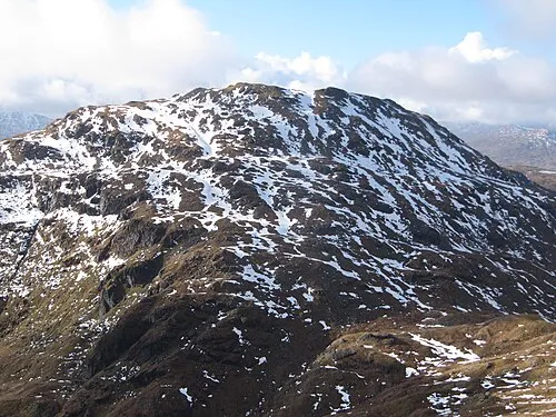 Beinn Chabhair Mountain, Stirling11 km SE
-
 An Caisteal Mountain, Stirling11 km SE
-
Cruachan Cruinn Mountain, Stirling4.2 km SE
-
Meall Odhar Mountain, Stirling4.6 km N
Sources & licences
Data last updated: · 2 independent sources