Ben Lui
Located in Stirling, Scotland Coordinates: 56°23′49″ N 4°48′40″ W
- Elevation
- 1,131 m
- above sea level
- Local time
- UTC+00:00
- Europe/London · UTC+00:00
About Ben Lui
Ben Lui is a mountain. Location: Stirling, Scotland. Elevation: 1,131 m.
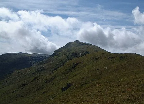
Ben Lui (Scottish Gaelic: Beinn Laoigh) is a mountain in the southern Highlands of Scotland. It is a Munro with a height of 1,130 metres (3,710 ft). Ben Lui is in northeast Argyll and is the highest peak of a mountain chain that includes three other Munros. It has five well-defined ridges radiating out from the summit. Four corries lie between the ridges, including Coirre Gaothaich on the northeast side of the mountain.
Read more on Wikipedia Text: Wikipedia contributors · CC BY-SA 4.0 · shortened
At a glance
- Topographic prominence
- 875 m
Source: Wikidata
In comparison
- No. 51 of 18223 mountains in United Kingdom by elevation
- 53 sights and natural places within 10 km Ben Lui NW Top, Beinn a' Chleibh
Nearest towns and villages
-
Clifton Village, Stirling7.3 km NE
-
Tyndrum Village, Stirling7.4 km NE
-
Inverarnan Village, Stirling9.4 km SE
-
Auchtertyre Village, Stirling9.2 km E
-
Bridge of Orchy Village, Argyll and Bute13 km N
-
Dalmally Village, Argyll and Bute10 km W
Nearby attractions & nature
Everything nearby-
Ben Lui NW Top Mountain, Stirling0.1 km NW
-
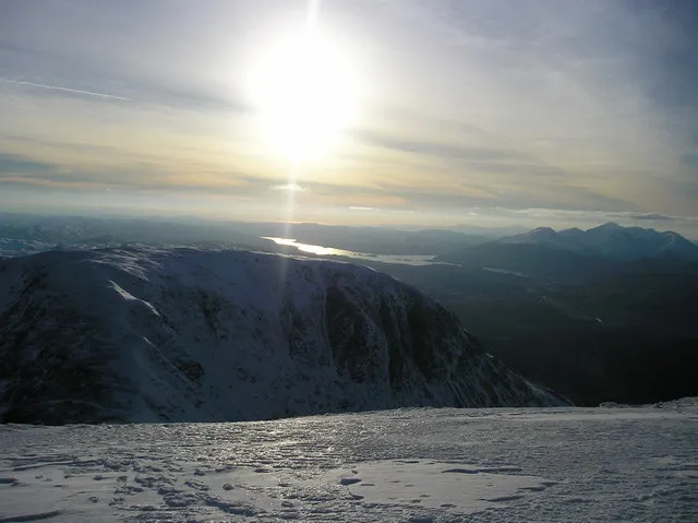 Beinn a' Chleibh Mountain, Argyll and Bute1.7 km SW
-
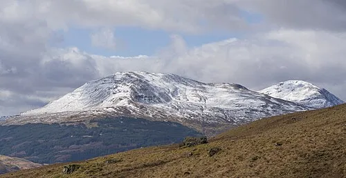 Ben Oss Mountain, Stirling2.4 km E
-
Beinn Chuirn South Top Mountain, Stirling2.3 km N
-
Ben Oss North Top Mountain, Stirling2.5 km E
-
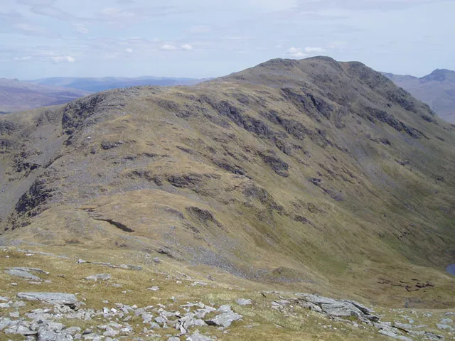 Beinn Dubhchraig Mountain, Stirling4.2 km E
-
Beinn Chuirn Mountain, Stirling3.3 km NE
-
Meall nan Gabhar Mountain, Argyll and Bute3.8 km SW
More nature in United Kingdom
-
Meall nan Tighearn Mountain, Stirling4 km SW
-
Meall Odhar Mountain, Stirling4.8 km NE
-
Drochaid an Droma Mountain, Stirling5.7 km NE
-
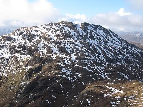 Beinn Chabhair Mountain, Stirling13 km SE
-
Creag nan Caorann Mountain, Stirling5.9 km SE
-
 An Caisteal Mountain, Stirling13 km SE
Sources & licences
Data last updated: · 2 independent sources