- Elevation
- 234 m
- above sea level
- Local time
- UTC+00:00
- Europe/London · UTC+00:00
- Airports
- CAL Campbeltown Airport5 km
- ILY Islay Airport46 km
About Skerry Fell
Skerry Fell is a mountain. Location: Argyll and Bute, Scotland. Elevation: 234 m. The best months to visit are July–August. The nearest airport is Campbeltown Airport (5 km). Nearby sights include Skerry Fell Fad and The Slate.
Climate of Skerry Fell
Best months for sightseeingBest months for sightseeing: July–August.
This month · November
A wet month
Day 9° · Night 4° · Rain 142 mm
- Hottest month
- August (day 16°)
- Coldest month
- February (night 2°)
- Wettest month
- January (151 mm)
- Driest month
- May (61 mm)
Bars: average monthly low and high temperature. Below: precipitation. Monthly averages for 1970–2000 at about 18 km resolution, adjusted for elevation. Highlighted months are mild and relatively dry. Source: WorldClim 2.1 (CC BY 4.0).
Show values as a table
| Month | Jan | Feb | Mar | Apr | May | Jun | Jul | Aug | Sep | Oct | Nov | Dec |
|---|---|---|---|---|---|---|---|---|---|---|---|---|
| Average high (°C) | 7° | 7° | 8° | 10° | 13° | 15° | 16° | 16° | 15° | 12° | 9° | 7° |
| Average low (°C) | 2° | 2° | 2° | 3° | 6° | 8° | 10° | 10° | 9° | 7° | 4° | 3° |
| Precipitation (mm) | 151 | 99 | 115 | 71 | 61 | 70 | 84 | 98 | 119 | 139 | 142 | 142 |
How to get to Skerry Fell
The nearest airport is Campbeltown Airport (CAL), 5 km to the northeast as the crow flies. For international flights: Glasgow Prestwick Airport (PIK) (74 km). The nearest large city is Belfast, 90 km to the south.
Airports
- Campbeltown Airport (CAL) Campbeltown 5 kmnortheast
- Islay Airport (ILY) Isle of Islay, Argyll and Bute 46 kmnorthwest
- Glasgow Prestwick Airport (PIK) Prestwick, South Ayrshire 74 kmeast
Nearby large cities
- Belfast Population: 348K 90 kmsouth
- Glasgow Population: 626.4K 106 kmnortheast
- Edinburgh Population: 515K 171 kmeast
- Dundee Population: 148.2K 209 kmnortheast
- Dublin Population: 1M 233 kmsouth
Straight-line distances; road distances are longer. Airport data: OurAirports.
Day trips from Skerry Fell
Within 100 km: 96 historic and cultural sites, 1,621 natural sites, 768 lakes, rivers and coasts.
0–25 km100 places
- Sheep Island Island 16 kmSE
- Sanda Island Island 16 kmSE
- Island Davaar Island 12 kmE
- Mull of Cara Island 25 kmN
25–60 km608 places
- Isle of Arran Island 37 kmNE
- West Maiden Island 52 kmS
- Texa Island Island 36 kmNW
- Sheep Island Island 43 kmSW
60–100 km1,777 places
- Great Cumbrae Island Island 65 kmNE
- Colonsay Island 80 kmN
- Ayr Beach Beach 69 kmE
- Troon Beach Beach 69 kmE
Straight-line distances.
Nearest towns and villages
-
Machrihanish Village, Argyll and Bute2.4 km N
-
Drumlemble Village, Argyll and Bute2.7 km NE
-
Campbeltown Village, Argyll and Bute8.1 km E
-
West Darlochan Village, Argyll and Bute5.7 km NE
-
Stewarton Village, Argyll and Bute5.8 km E
-
East Darlochan Village, Argyll and Bute5.8 km NE
Nearby attractions & nature
Everything nearby-
Skerry Fell Fad Mountain, Argyll and Bute0.4 km W
-
The Slate Mountain, Argyll and Bute1.9 km S
-
Creag nan Cuilean Mountain, Argyll and Bute2.5 km SW
-
Cnoc Sturraig Mountain, Argyll and Bute2.7 km SE
-
Beinn na Faire Mountain, Argyll and Bute3.8 km W
-
Achnaslishaig Hill Mountain, Argyll and Bute3.9 km S
-
Cnoc Moy Mountain, Argyll and Bute4.2 km SW
-
Machrihanish Bay Natural site, Scotland3.5 km N
More nature in United Kingdom
-
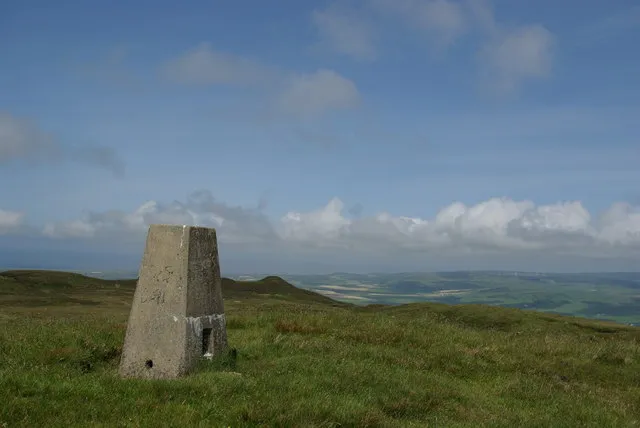 Beinn Ghuilean Mountain, Argyll and Bute9 km E
-
Killelan Hill Mountain, Argyll and Bute5.3 km SE
-
Cnoc Odhar Mountain, Argyll and Bute6.1 km SE
-
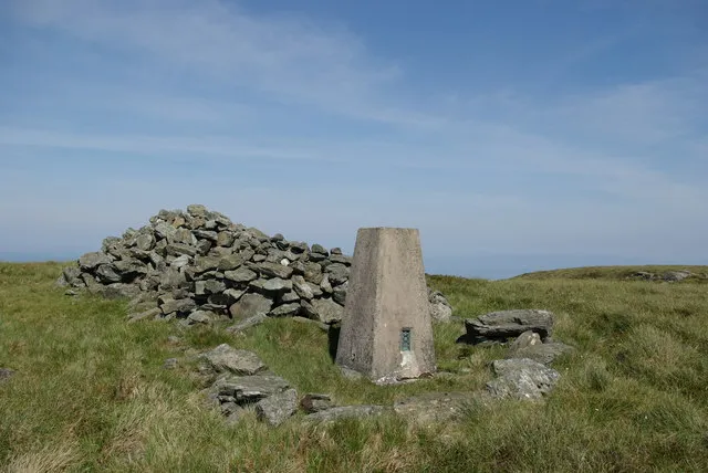 Beinn na Lice Mountain, Argyll and Bute10 km S
-
Remuil Hill Mountain, Argyll and Bute6.2 km S
-
Dun Ban Mountain, Argyll and Bute6.4 km SW
Sources & licences
Data last updated: