- Elevation
- 2 m
- above sea level
- Local time
- UTC+00:00
- Europe/London · UTC+00:00
- Airports
- TRE Tiree Airport16 km
- BRR Barra Airport71 km
About Soa Island
Soa Island is an island. Location: Argyll and Bute, Scotland. The best months to visit are July–August. The nearest airport is Tiree Airport (16 km). Nearby sights include Crossapol Bay and Eilean Tomulam.
Climate of Soa Island
Best months for sightseeingBest months for sightseeing: July–August.
This month · November
A wet month
Day 10° · Night 6° · Rain 177 mm
- Hottest month
- August (day 17°)
- Coldest month
- February (night 4°)
- Wettest month
- January (179 mm)
- Driest month
- May (66 mm)
Bars: average monthly low and high temperature. Below: precipitation. Monthly averages for 1970–2000 at about 18 km resolution, adjusted for elevation. Highlighted months are mild and relatively dry. Source: WorldClim 2.1 (CC BY 4.0).
Show values as a table
| Month | Jan | Feb | Mar | Apr | May | Jun | Jul | Aug | Sep | Oct | Nov | Dec |
|---|---|---|---|---|---|---|---|---|---|---|---|---|
| Average high (°C) | 8° | 8° | 9° | 10° | 13° | 15° | 16° | 17° | 15° | 12° | 10° | 8° |
| Average low (°C) | 4° | 4° | 4° | 5° | 8° | 10° | 12° | 12° | 10° | 8° | 6° | 4° |
| Precipitation (mm) | 179 | 115 | 133 | 82 | 66 | 74 | 94 | 115 | 154 | 175 | 177 | 169 |
How to get to Soa Island
The nearest airport is Tiree Airport (TRE), 16 km to the southwest as the crow flies. The nearest large city is Glasgow, 167 km to the southeast.
Airports
- Tiree Airport (TRE) Balemartine, Argyll and Bute 16 kmsouthwest
- Barra Airport (BRR) Eoligarry 71 kmnorthwest
- Islay Airport (ILY) Isle of Islay, Argyll and Bute 101 kmsouth
Nearby large cities
- Glasgow Population: 626.4K 167 kmsoutheast
- Edinburgh Population: 515K 224 kmeast
- Belfast Population: 348K 224 kmsouth
- Dundee Population: 148.2K 225 kmeast
- Aberdeen Population: 198.6K 284 kmeast
Straight-line distances; road distances are longer. Airport data: OurAirports.
Nearest towns and villages
Nearby attractions & nature
Everything nearby-
Crossapol Bay Natural site, Argyll and Bute1 km W
-
Eilean Tomulam Island, Argyll and Bute1.1 km NW
-
Eilean an Eich Island, Argyll and Bute1.6 km NE
-
Loch Breachacha Natural site, Argyll and Bute2.1 km NE
-
Cnoc Carpach Mountain, Argyll and Bute2.6 km N
-
Port a’ Mhurain Natural site, Argyll and Bute3.1 km W
-
Ben Feall Mountain, Argyll and Bute3.8 km N
-
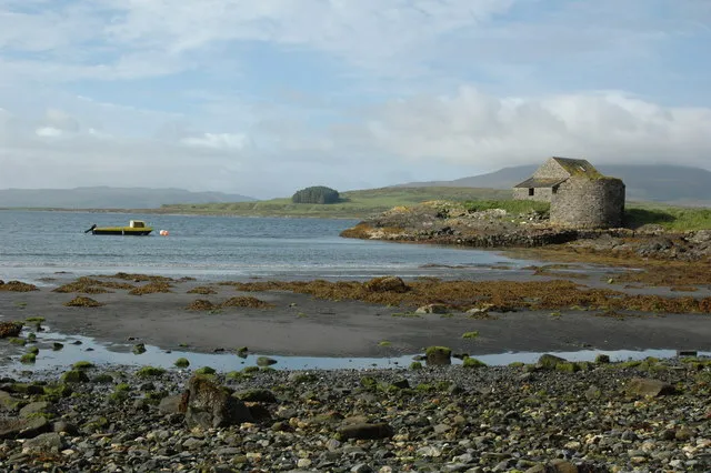 Gunna Island, Argyll and Bute5.1 km W
More lakes, rivers and coasts in United Kingdom
-
Eilean Odhar Island, Argyll and Bute4.8 km NW
-
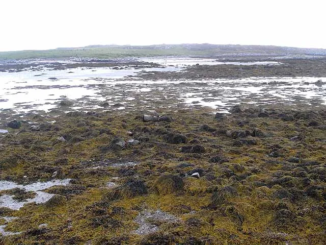 Soa Island Island, Argyll and Bute9.8 km SW
-
Eilean Ascaoineach Island, Argyll and Bute4.3 km NW
-
Eilean nan Gamhna Island, Argyll and Bute5.1 km W
-
Eilean Frachlan Island, Argyll and Bute5.5 km W
-
Anlaimh Eilean Island, Argyll and Bute5.7 km NE
Sources & licences
Data last updated: