- Elevation
- 4 m
- above sea level
- Local time
- UTC+00:00
- Europe/London · UTC+00:00
- Airports
- PIK Glasgow Prestwick Airport83 km
- IOM Isle of Man Airport89 km
About Inch
Inch is an island. Location: Dumfries and Galloway, Scotland. The best months to visit are June–August. The nearest airport is Glasgow Prestwick Airport (83 km). Nearby sights include Nun Mill Bay and Jock's Bay.
Photos of Inch
-
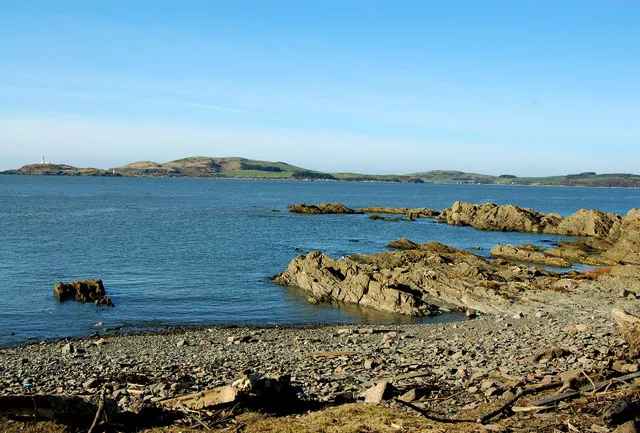
Little Ross Malcolm Morris · CC BY-SA 2.0 -
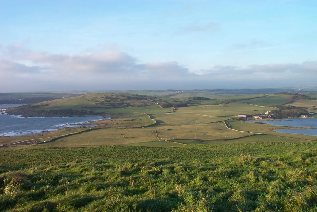
Meikle Ross James Bell · CC BY-SA 2.0


Climate of Inch
Best months for sightseeingBest months for sightseeing: June–August.
This month · November
A wet month
Day 9° · Night 3° · Rain 112 mm
- Hottest month
- July (day 19°)
- Coldest month
- January (night 1°)
- Wettest month
- January (116 mm)
- Driest month
- June (62 mm)
Bars: average monthly low and high temperature. Below: precipitation. Monthly averages for 1970–2000 at about 18 km resolution, adjusted for elevation. Highlighted months are mild and relatively dry. Source: WorldClim 2.1 (CC BY 4.0).
Show values as a table
| Month | Jan | Feb | Mar | Apr | May | Jun | Jul | Aug | Sep | Oct | Nov | Dec |
|---|---|---|---|---|---|---|---|---|---|---|---|---|
| Average high (°C) | 6° | 7° | 9° | 12° | 15° | 17° | 19° | 19° | 16° | 13° | 9° | 7° |
| Average low (°C) | 1° | 1° | 3° | 4° | 6° | 9° | 11° | 11° | 9° | 6° | 3° | 1° |
| Precipitation (mm) | 116 | 78 | 82 | 64 | 64 | 62 | 63 | 82 | 95 | 110 | 112 | 113 |
How to get to Inch
The nearest airport is Glasgow Prestwick Airport (PIK), 83 km to the northwest as the crow flies. The nearest large city is Glasgow, 118 km to the north.
Airports
- Glasgow Prestwick Airport (PIK) Prestwick, South Ayrshire 83 kmnorthwest
- Isle of Man Airport (IOM) Castletown, Rushen 89 kmsouthwest
- George Best Belfast City Airport (BHD) Belfast 118 kmwest
Nearby large cities
- Glasgow Population: 626.4K 118 kmnorth
- Belfast Population: 348K 122 kmwest
- Blackpool Population: 145K 129 kmsoutheast
- Edinburgh Population: 515K 138 kmnortheast
- Preston Population: 313.3K 147 kmsoutheast
Straight-line distances; road distances are longer. Airport data: OurAirports.
Day trips from Inch
Within 100 km: 305 historic and cultural sites, 2,471 natural sites, 597 lakes, rivers and coasts.
0–25 km262 places
- Murrays Isles Island 11 kmW
- Hestan Island Island 16 kmE
- Islands of Fleet Island 10 kmW
- Ardwall Isle Island 10 kmW
25–60 km945 places
- St. Bees Beach Seafront Beach 47 kmSE
- Powillimount Beach Beach 33 kmE
- Kirkland Scar Island 59 kmE
- Isle-na-Gower Island 39 kmNW
60–100 km2,166 places
- British Isles Island 91 kmS
- High Moor Mountain 90 kmSE
- Roanhead Beach Beach 89 kmSE
- Ayr Beach Beach 81 kmNW
Straight-line distances.
Nearest towns and villages
-
Kirkcudbright Village, Dumfries and Galloway3.2 km NE
-
St Mary's Isle Village, Dumfries and Galloway1.3 km N
-
The Lake Village, Dumfries and Galloway1.4 km SE
-
Millhall Village, Dumfries and Galloway1.5 km W
-
Mutehill Village, Dumfries and Galloway1.7 km E
-
Townhead Village, Dumfries and Galloway3.1 km SE
Nearby attractions & nature
Everything nearby-
Nun Mill Bay Natural site, Dumfries and Galloway1.3 km W
-
Jock's Bay Natural site, Dumfries and Galloway1 km NW
-
Kirkeoch Hill Mountain, Dumfries and Galloway1.6 km NW
-
Goat Well Bay Natural site, Dumfries and Galloway1.1 km W
-
Knocktall Mountain, Dumfries and Galloway2.1 km SW
-
Senwick Bay Natural site, Dumfries and Galloway1.7 km SW
-
Bathinghouse Bay Natural site, Dumfries and Galloway2.1 km S
-
Saint Marys Isle Natural site, Scotland1.4 km S
More lakes, rivers and coasts in United Kingdom
-
Little Ross Island, Dumfries and Galloway5.2 km S
-
Kennan's Isle Island, Dumfries and Galloway7.9 km NE
-
Barlocco Isle Island, Dumfries and Galloway9.3 km W
-
Ardwall Isle Island, Dumfries and Galloway9.9 km W
-
Garvellan Rocks Island, Dumfries and Galloway12 km W
-
Grainyford Isle Island, Dumfries and Galloway13 km NE
Sources & licences
Data last updated: