
- Population
- 4,190
- 4.2K
- Elevation
- 48 m
- above sea level
- Local time
- UTC+00:00
- Europe/London · UTC+00:00
- Airports
- GLA Glasgow Airport10 km
- PIK Glasgow Prestwick Airport37 km
About Thornliebank
Thornliebank is a village. Location: East Renfrewshire, Scotland. Population: 4,190. Elevation: 48 m.
Thornliebank (Scots: Thonliebank, Scottish Gaelic: Bruach nan Dealgan) is an area of East Renfrewshire, in the west central Lowlands of Scotland. Part of the Greater Glasgow conurbation, it is located on the Auldhouse Burn about six miles (ten kilometres) south of Glasgow city centre, and just outside the city's administrative boundaries (the closest neighbourhoods within Glasgow, to the west and north of Thornliebank, being Arden, Carnwadric, Deaconsbank, Eastwood, Jenny Lind and Mansewood).
Source: Wikipedia · CC BY-SA 4.0
Photos of Thornliebank
-

Director General of the Ordnance Survey, UK · Public domain -

Directvector199 · CC BY-SA 4.0 -

M J Richardson · CC BY-SA 2.0 -

Alan Reid · CC BY-SA 2.0 -

Richard Sutcliffe · CC BY-SA 2.0


Climate of Thornliebank
Best months for sightseeingBest months for sightseeing: June–August.
This month · November
A wet month
Day 9° · Night 3° · Rain 155 mm
- Hottest month
- July (day 18°)
- Coldest month
- January (night 2°)
- Wettest month
- January (164 mm)
- Driest month
- April (73 mm)
Bars: average monthly low and high temperature. Below: precipitation. Monthly averages for 1970–2000 at about 18 km resolution, adjusted for elevation. Highlighted months are mild and relatively dry. Source: WorldClim 2.1 (CC BY 4.0).
Show values as a table
| Month | Jan | Feb | Mar | Apr | May | Jun | Jul | Aug | Sep | Oct | Nov | Dec |
|---|---|---|---|---|---|---|---|---|---|---|---|---|
| Average high (°C) | 7° | 7° | 8° | 11° | 14° | 17° | 18° | 18° | 15° | 12° | 9° | 7° |
| Average low (°C) | 2° | 2° | 2° | 4° | 6° | 9° | 11° | 11° | 9° | 6° | 3° | 2° |
| Precipitation (mm) | 164 | 114 | 124 | 73 | 76 | 73 | 81 | 100 | 137 | 158 | 155 | 155 |
How to get to Thornliebank
The nearest airport is Glasgow Airport (GLA), 10 km to the northwest as the crow flies. The nearest large city is Glasgow, 8 km to the northeast.
Airports
- Glasgow Airport (GLA) Glasgow 10 kmnorthwest
- Glasgow Prestwick Airport (PIK) Prestwick, South Ayrshire 37 kmsouthwest
- Edinburgh Airport (EDI) Ingliston, Edinburgh 61 kmeast
Nearby large cities
- Glasgow Population: 626.4K 8 kmnortheast
- Edinburgh Population: 515K 72 kmeast
- Dundee Population: 148.2K 112 kmnortheast
- Belfast Population: 348K 169 kmsouthwest
- Newcastle upon Tyne Population: 300.1K 195 kmsoutheast
Straight-line distances; road distances are longer. Airport data: OurAirports.
Day trips from Thornliebank
Within 100 km: 172 historic and cultural sites, 3,670 natural sites, 1,116 lakes, rivers and coasts.
0–25 km183 places
- Newshot Island Island 12 kmNW
- Long Loch Lake 10 kmSW
- Lochgoin Reservoir Lake 12 kmS
- Loch Libo Lake 12 kmW
25–60 km1,251 places
- Great Cumbrae Island Island 38 kmW
- Ayr Beach Beach 43 kmSW
- Troon Beach Beach 36 kmSW
- Hunterston Sands Beach 37 kmW
60–100 km3,524 places
- Isle of Arran Island 63 kmW
- Burntisland Beach Beach 74 kmNE
- Cramond beach Beach 67 kmE
- Portobello Beach Beach 77 kmE
Straight-line distances.
Nearby attractions & nature
Everything nearby-
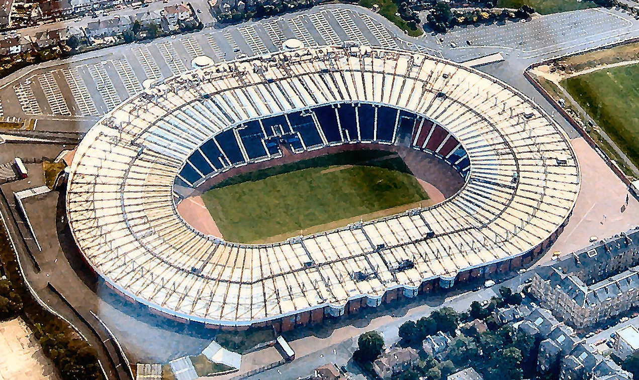 Hampden Park Landmark, Glasgow City4.7 km NE
-
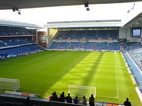 Glasgow Rangers Landmark, Glasgow City5.4 km N
-
Hurlet Hill Mountain, Glasgow City4 km NW
-
Queen's Park Mountain, Glasgow City4.2 km NE
-
Dumbreck Mountain, Glasgow City4.2 km N
-
Queen's Park Natural site, Glasgow City4.3 km NE
Sources & licences
Data last updated: · 2 independent sources