
- Elevation
- 42 m
- above sea level
- Local time
- UTC+00:00
- Europe/London · UTC+00:00
- Airports
- GLA Glasgow Airport9 km
- PIK Glasgow Prestwick Airport47 km
About Maryhill
Maryhill is a village. Location: Glasgow City, Scotland. Elevation: 42 m.
Maryhill (Scottish Gaelic: Cnoc Màiri) is an area in the north-west of Glasgow in Scotland. A former independent burgh and the heart of an eponymous local authority ward, its territory is bisected by Maryhill Road, part of the A81 road which runs for a distance of roughly three miles (five kilometres) between Glasgow city centre and the suburban town of Bearsden. The far north west of the area is served by Maryhill railway station.
Source: Wikipedia · CC BY-SA 4.0
Photos of Maryhill
-
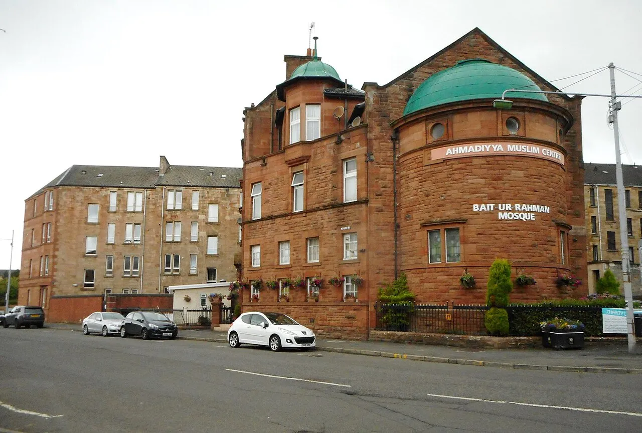
Bait-ur-Rahman Richard Sutcliffe · CC BY-SA 2.0 -
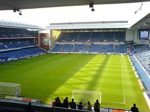
Glasgow Rangers Archibald99 · Public domain -
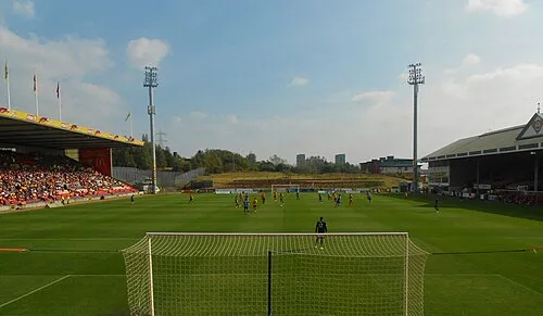
Firhill Stadium Andrew Hendo · CC BY-SA 3.0 -
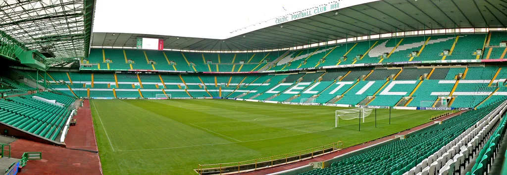
Celtic Park Zhi Yong Lee from Glasgow, UK · CC BY 2.0 -
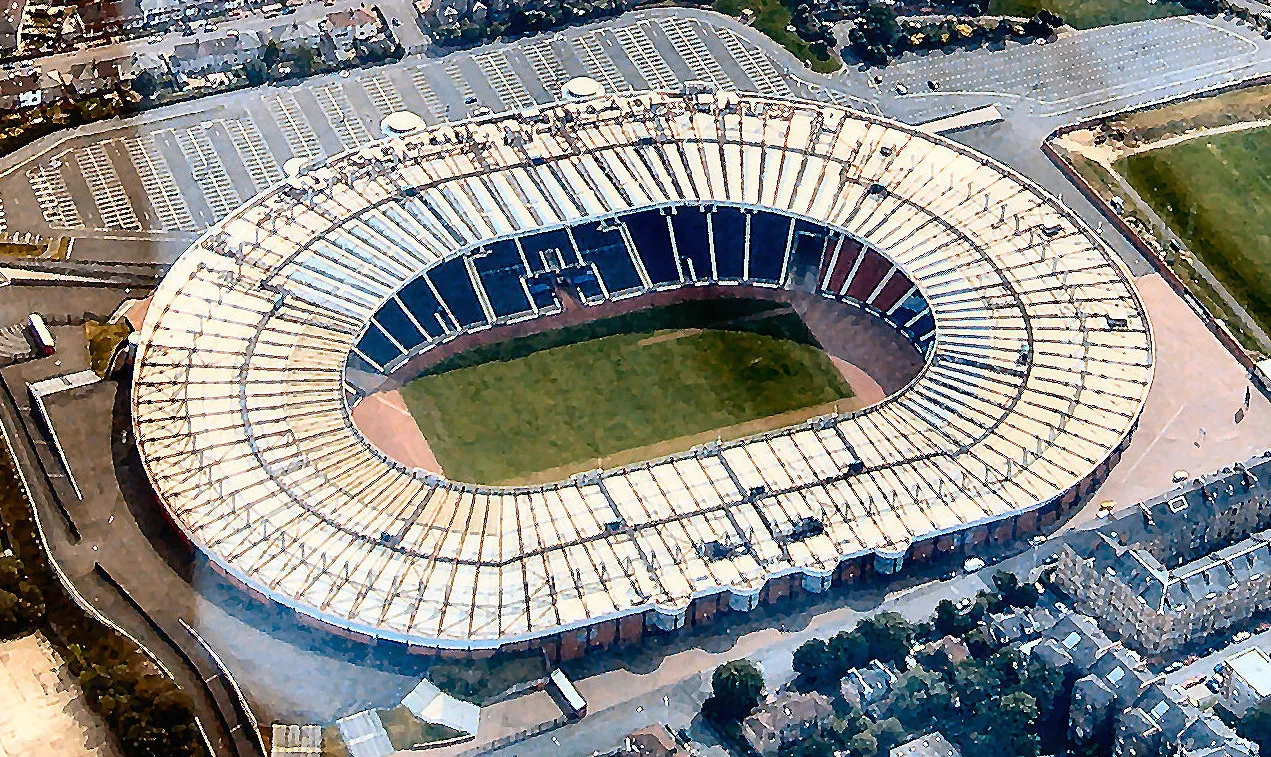
Hampden Park Dan Kearney, cropped by Blackcat · CC BY-SA 3.0


Climate of Maryhill
Best months for sightseeingBest months for sightseeing: June–August.
This month · November
A wet month
Day 9° · Night 3° · Rain 143 mm
- Hottest month
- July (day 19°)
- Coldest month
- January (night 1°)
- Wettest month
- January (154 mm)
- Driest month
- April (65 mm)
Bars: average monthly low and high temperature. Below: precipitation. Monthly averages for 1970–2000 at about 18 km resolution, adjusted for elevation. Highlighted months are mild and relatively dry. Source: WorldClim 2.1 (CC BY 4.0).
Show values as a table
| Month | Jan | Feb | Mar | Apr | May | Jun | Jul | Aug | Sep | Oct | Nov | Dec |
|---|---|---|---|---|---|---|---|---|---|---|---|---|
| Average high (°C) | 6° | 7° | 9° | 11° | 15° | 17° | 19° | 18° | 16° | 12° | 9° | 7° |
| Average low (°C) | 1° | 1° | 2° | 4° | 6° | 9° | 11° | 11° | 9° | 6° | 3° | 2° |
| Precipitation (mm) | 154 | 106 | 116 | 65 | 71 | 67 | 75 | 91 | 125 | 146 | 143 | 141 |
How to get to Maryhill
The nearest airport is Glasgow Airport (GLA), 9 km to the west as the crow flies. The nearest large city is Glasgow, 3 km to the southeast.
Airports
- Glasgow Airport (GLA) Glasgow 9 kmwest
- Glasgow Prestwick Airport (PIK) Prestwick, South Ayrshire 47 kmsouthwest
- Edinburgh Airport (EDI) Ingliston, Edinburgh 58 kmeast
Nearby large cities
- Glasgow Population: 626.4K 3 kmsoutheast
- Edinburgh Population: 515K 69 kmeast
- Dundee Population: 148.2K 104 kmnortheast
- Belfast Population: 348K 178 kmsouthwest
- Aberdeen Population: 198.6K 194 kmnortheast
Straight-line distances; road distances are longer. Airport data: OurAirports.
Day trips from Maryhill
Within 100 km: 176 historic and cultural sites, 3,770 natural sites, 1,132 lakes, rivers and coasts.
0–25 km197 places
- Newshot Island Island 8 kmW
- Speirs Island Island 19 kmNE
- Long Loch Lake 19 kmSW
- Lochgoin Reservoir Lake 21 kmS
25–60 km1,294 places
- Great Cumbrae Island Island 42 kmW
- Ayr Beach Beach 53 kmSW
- Troon Beach Beach 45 kmSW
- Hunterston Sands Beach 42 kmSW
60–100 km3,587 places
- Isle of Arran Island 68 kmSW
- Burntisland Beach Beach 69 kmE
- Cramond beach Beach 63 kmE
- Portobello Beach Beach 74 kmE
Straight-line distances.
Nearby attractions & nature
Everything nearby-
Firhill Stadium Landmark, Glasgow City1.7 km SE
-
Ruchill Mountain, Glasgow City1.3 km SE
-
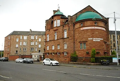 Bait-ur-Rahman Attraction, Glasgow City2.7 km S
-
Glasgow Rangers Landmark, Glasgow City4.3 km S
-
Museum of Transport Argyle Street Museum, Glasgow City2.4 km S
-
Dawsholm Park Natural site, Scotland1.9 km NW
Sources & licences
Data last updated: · 2 independent sources