- Elevation
- 167 m
- above sea level
- Local time
- UTC+00:00
- Europe/London · UTC+00:00
- Airports
- INV Inverness Airport74 km
- DND Dundee Airport133 km
About Allt Ladaidh
Allt Ladaidh is a river. Location: Highland, Scotland. The best months to visit are July. The nearest airport is Inverness Airport (74 km). Nearby sights include Bolinn Hill and Beinn Bhreac.
Photos of Allt Ladaidh
-
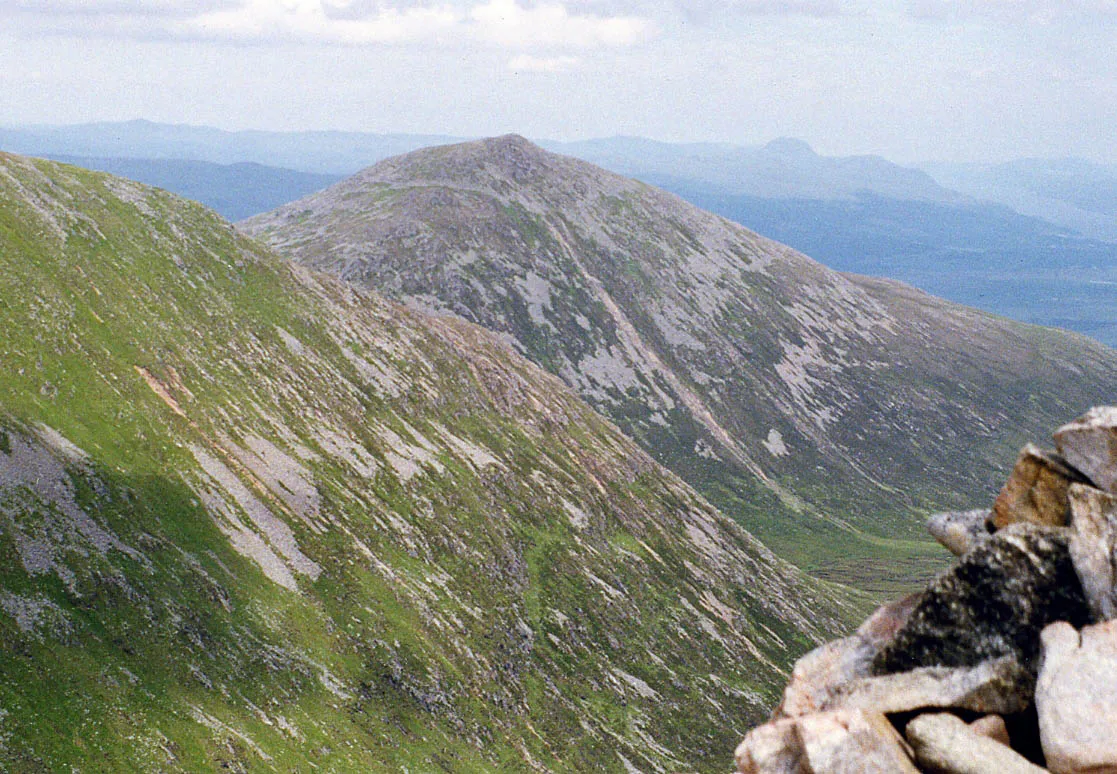
Ben Tee Mick Knapton at English Wikipedia · CC BY-SA 3.0 -
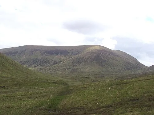
Sron a' Choire Ghairbh Mick Knapton at English Wikipedia · CC BY-SA 3.0


Climate of Allt Ladaidh
Best months for sightseeingBest months for sightseeing: July.
This month · November
A wet month
Day 8° · Night 3° · Rain 259 mm
- Hottest month
- July (day 17°)
- Coldest month
- February (night 1°)
- Wettest month
- January (283 mm)
- Driest month
- May (103 mm)
Bars: average monthly low and high temperature. Below: precipitation. Monthly averages for 1970–2000 at about 18 km resolution, adjusted for elevation. Highlighted months are mild and relatively dry. Source: WorldClim 2.1 (CC BY 4.0).
Show values as a table
| Month | Jan | Feb | Mar | Apr | May | Jun | Jul | Aug | Sep | Oct | Nov | Dec |
|---|---|---|---|---|---|---|---|---|---|---|---|---|
| Average high (°C) | 6° | 6° | 8° | 10° | 14° | 16° | 17° | 17° | 15° | 11° | 8° | 6° |
| Average low (°C) | 1° | 1° | 1° | 3° | 5° | 8° | 10° | 10° | 8° | 6° | 3° | 1° |
| Precipitation (mm) | 283 | 184 | 226 | 112 | 103 | 108 | 120 | 142 | 210 | 237 | 259 | 272 |
Other places to visit in this season: July
How to get to Allt Ladaidh
The nearest airport is Inverness Airport (INV), 74 km to the northeast as the crow flies. The nearest large city is Dundee, 135 km to the southeast.
Airports
- Inverness Airport (INV) Inverness, Highland 74 kmnortheast
- Dundee Airport (DND) Dundee 133 kmsoutheast
- Tiree Airport (TRE) Balemartine, Argyll and Bute 136 kmsouthwest
Nearby large cities
- Dundee Population: 148.2K 135 kmsoutheast
- Glasgow Population: 626.4K 140 kmsouth
- Edinburgh Population: 515K 162 kmsoutheast
- Aberdeen Population: 198.6K 170 kmeast
- Belfast Population: 348K 282 kmsouth
Straight-line distances; road distances are longer. Airport data: OurAirports.
Day trips from Allt Ladaidh
Within 100 km: 40 historic and cultural sites, 5,068 natural sites, 1,191 lakes, rivers and coasts.
0–25 km391 places
- Eilean na h-Ealaidh Island 8 kmE
- Bàn Eilean Island 20 kmNE
- Eilean nan Sasunnach Island 4 kmE
- Eilean na Cloinne Island 5 kmW
25–60 km2,137 places
- Moy Island Island 59 kmN
- Sandaig Islands Island 50 kmW
- Eilean Ràrsaidh Island 44 kmW
- Ornsay Island 54 kmW
60–100 km3,771 places
- Isle of Skye Island 86 kmW
- Island of Raasay Island 79 kmNW
- Eigg Island 79 kmW
- Scalpay Island 70 kmW
Straight-line distances.
Nearest towns and villages
-
Munerigie Village, Highland3.2 km NE
-
 Invergarry Village, Highland6 km E
-
Faichem Village, Highland4.4 km E
-
Greenfield Village, Highland3.6 km SW
-
Faichemard Farm Village, Highland4.6 km E
-
Easter Mandally Village, Highland6.2 km E
Nearby attractions & nature
Everything nearby-
Bolinn Hill Mountain, Highland1 km E
-
Beinn Bhreac Mountain, Highland2 km S
-
Glac Dhubh Mountain, Highland2.2 km E
-
Ben Tee Mountain, Highland3.8 km S
-
Garry Loch Lake, Highland2.1 km NW
-
Meall nan Ruadhag Mountain, Highland2.7 km SE
-
Garbh Eilean Island, Highland2.3 km NE
-
Meall Ard Achaidh Mountain, Highland3.1 km SW
Sources & licences
Data last updated: