- Elevation
- 968 m
- above sea level
- Local time
- UTC+00:00
- Europe/London · UTC+00:00
- Airports
- INV Inverness Airport60 km
- SYY Stornoway Airport95 km
About Ceann Garbh
Ceann Garbh is a mountain. Location: Highland, Scotland. Elevation: 968 m. The nearest airport is Inverness Airport (60 km). Nearby sights include Meall nan Ceapraichean and Eididh nan Clach Geala.
Photos of Ceann Garbh
-
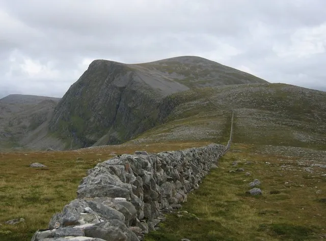
Beinn Dearg Stuart Meek · CC BY-SA 2.0 -
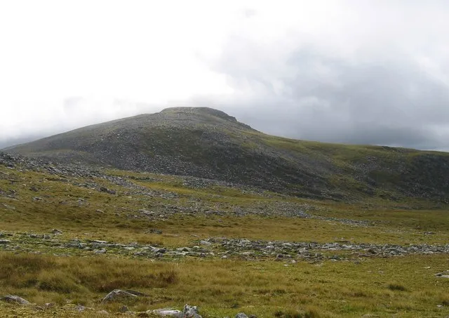
Eididh nan Clach Geala Stuart Meek · CC BY-SA 2.0 -
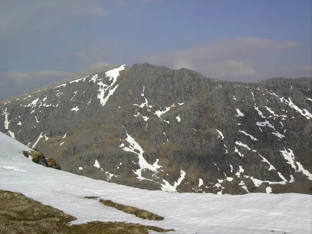
Cona' Mheall Colin Kinnear · CC BY-SA 2.0 -
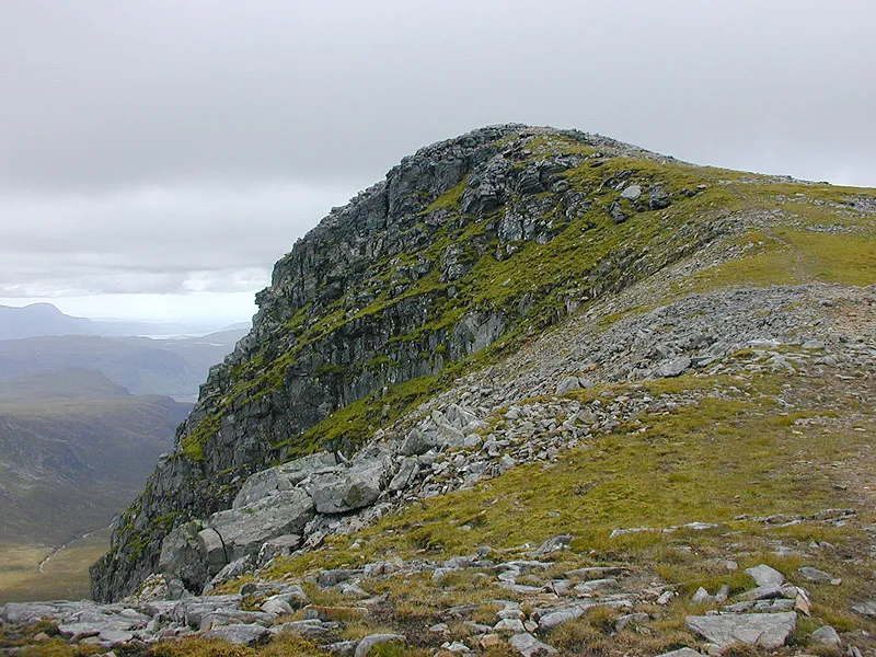
Meall nan Ceapraichean Nigel Brown · CC BY-SA 2.0 -
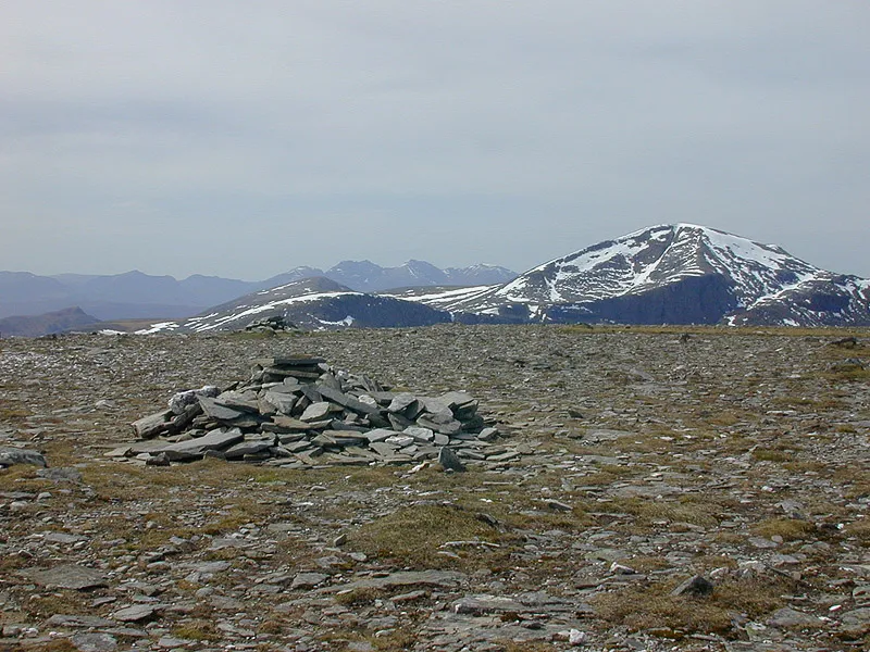
Am Faochagach Nigel Brown · CC BY-SA 2.0


Climate of Ceann Garbh
This month · November
A wet month
Day 4° · Night -2° · Rain 289 mm
- Hottest month
- July (day 12°)
- Coldest month
- December (night -5°)
- Wettest month
- January (290 mm)
- Driest month
- May (122 mm)
Bars: average monthly low and high temperature. Below: precipitation. Monthly averages for 1970–2000 at about 18 km resolution, adjusted for elevation. Highlighted months are mild and relatively dry. Source: WorldClim 2.1 (CC BY 4.0).
Show values as a table
| Month | Jan | Feb | Mar | Apr | May | Jun | Jul | Aug | Sep | Oct | Nov | Dec |
|---|---|---|---|---|---|---|---|---|---|---|---|---|
| Average high (°C) | 2° | 2° | 3° | 6° | 9° | 11° | 12° | 12° | 10° | 7° | 4° | 1° |
| Average low (°C) | -4° | -4° | -4° | -2° | 0° | 3° | 5° | 5° | 3° | 0° | -2° | -5° |
| Precipitation (mm) | 290 | 203 | 248 | 140 | 122 | 131 | 142 | 168 | 236 | 271 | 289 | 282 |
How to get to Ceann Garbh
The nearest airport is Inverness Airport (INV), 60 km to the southeast as the crow flies. The nearest large city is Aberdeen, 185 km to the east.
Airports
- Inverness Airport (INV) Inverness, Highland 60 kmsoutheast
- Stornoway Airport (SYY) Stornoway, Western Isles 95 kmnorthwest
- Wick John O'Groats Airport (WIC) Wick 131 kmnortheast
Nearby large cities
- Aberdeen Population: 198.6K 185 kmeast
- Dundee Population: 148.2K 190 kmsoutheast
- Glasgow Population: 626.4K 220 kmsouth
- Edinburgh Population: 515K 232 kmsoutheast
- Belfast Population: 348K 362 kmsouth
Straight-line distances; road distances are longer. Airport data: OurAirports.
Day trips from Ceann Garbh
Within 100 km: 47 historic and cultural sites, 3,694 natural sites, 931 lakes, rivers and coasts.
0–25 km353 places
- Isle Martin Island 24 kmNW
- Eilean Gill a' Bhalgionn Island 23 kmE
- Eilean a' Chroisg Island 20 kmN
- Eilean a' Chip Island 19 kmW
25–60 km1,783 places
- Eilean a' Char Island 39 kmNW
- Eilean Dubh Island 58 kmN
- Moy Island Island 37 kmSE
- Tanera More Island 36 kmNW
60–100 km2,536 places
- Isle of Skye Island 97 kmSW
- Island of Raasay Island 82 kmSW
- Lossiemouth East Beach Beach 99 kmE
- Scalpay Island 86 kmSW
Straight-line distances.
Nearest towns and villages
-
Inverlael Village, Highland7.2 km W
-
Lael Forest Village, Highland6.9 km W
-
Inverbroom Village, Highland7.1 km W
-
Auchindrean Village, Highland7.3 km SW
-
Balblair Village, Highland8.1 km W
-
Croftown Village, Highland8.2 km W
Nearby attractions & nature
Everything nearby-
Meall nan Ceapraichean Mountain, Highland0.6 km S
-
Eididh nan Clach Geala Mountain, Highland1.2 km N
-
Beinn Dearg Mountain, Highland1.9 km S
-
Cona' Mheall Mountain, Highland2.1 km SE
-
Beinn Dearg North Top Mountain, Highland1.3 km SE
-
Toman Coinich Mountain, Highland1.8 km NE
-
Beinn Dearg West Top Mountain, Highland2 km SW
-
A'Chaoirnichain Sgeirich Mountain, Highland2.1 km N
More nature in United Kingdom
-
Am Faochagach Mountain, Highland5.8 km SE
-
Cnap Coire Loch Tuath Mountain, Highland2.3 km E
-
Iorguill Mountain, Highland2.5 km SW
-
Meall Glac an Ruighe Mountain, Highland3.2 km N
-
Meall a' Choire Ghlais Mountain, Highland3.2 km NE
-
Creag a' Choire Ghranda Mountain, Highland3.2 km S
Sources & licences
Data last updated: