Cona' Mheall
Located in Highland, Scotland Coordinates: 57°47′28″ N 4°54′12″ W
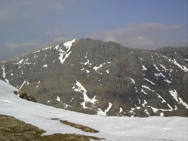
- Elevation
- 978 m
- above sea level
- Local time
- UTC+00:00
- Europe/London · UTC+00:00
About Cona' Mheall
Cona' Mheall is a mountain. Location: Highland, Scotland. Elevation: 978 m.
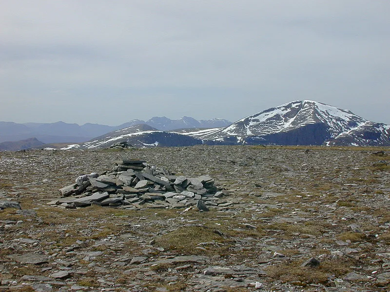
Cona' Mheall (978 m) is a mountain in the Northwest Highlands of Scotland. It is located near Ullapool in Wester Ross. Taking the form of a fine rocky ridge, it lies in the east of the Beinn Dearg range and offers excellent views from its summit. It is usually climbed as part of the Beinn Dearg summit although an alternative, but trickier, route starts from the A835 to the south.
Read more on Wikipedia Text: Wikipedia contributors · CC BY-SA 4.0 · shortened
At a glance
- Topographic prominence
- 165 m
Source: Wikidata
In comparison
- No. 337 of 18223 mountains in United Kingdom by elevation
- 62 sights and natural places within 10 km Beinn Dearg North Top, Cnap Coire Loch Tuath
Nearest towns and villages
-
Inverlael Village, Highland9.2 km W
-
Lael Forest Village, Highland8.5 km W
-
Auchindrean Village, Highland8.5 km W
-
Inverbroom Village, Highland8.8 km W
-
Braemore Village, Highland9 km SW
-
Croftown Village, Highland9.9 km W
Nearby attractions & nature
Everything nearby-
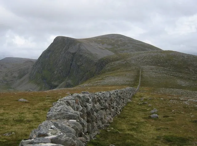 Beinn Dearg Mountain, Highland1.6 km W
-
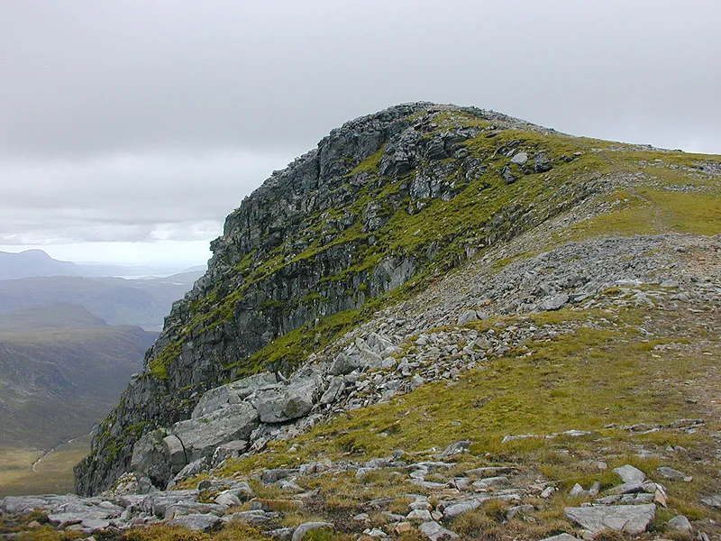 Meall nan Ceapraichean Mountain, Highland2 km NW
-
Beinn Dearg North Top Mountain, Highland1 km W
-
Cnap Coire Loch Tuath Mountain, Highland1.3 km NE
-
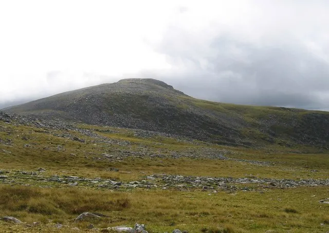 Eididh nan Clach Geala Mountain, Highland3.1 km NW
-
Creag a' Choire Ghranda Mountain, Highland1.9 km SW
-
Ceann Garbh Mountain, Highland2.1 km NW
-
 Am Faochagach Mountain, Highland3.6 km SE
Sources & licences
Data last updated: · 2 independent sources