- Elevation
- 187 m
- above sea level
- Local time
- UTC+00:00
- Europe/London · UTC+00:00
- Airports
- INV Inverness Airport91 km
- GLA Glasgow Airport116 km
About Tom an Teine
Tom an Teine is a mountain. Location: Highland, Scotland. Elevation: 187 m. The best months to visit are July. The nearest airport is Inverness Airport (91 km). Nearby sights include Tom nam Peathraichean and Sgurr Finniosgaig.
Climate of Tom an Teine
Best months for sightseeingBest months for sightseeing: July.
This month · November
A wet month
Day 8° · Night 3° · Rain 246 mm
- Hottest month
- July (day 17°)
- Coldest month
- February (night 1°)
- Wettest month
- January (270 mm)
- Driest month
- May (96 mm)
Bars: average monthly low and high temperature. Below: precipitation. Monthly averages for 1970–2000 at about 18 km resolution, adjusted for elevation. Highlighted months are mild and relatively dry. Source: WorldClim 2.1 (CC BY 4.0).
Show values as a table
| Month | Jan | Feb | Mar | Apr | May | Jun | Jul | Aug | Sep | Oct | Nov | Dec |
|---|---|---|---|---|---|---|---|---|---|---|---|---|
| Average high (°C) | 6° | 6° | 7° | 10° | 14° | 16° | 17° | 17° | 14° | 11° | 8° | 6° |
| Average low (°C) | 1° | 1° | 1° | 3° | 5° | 8° | 10° | 10° | 8° | 6° | 3° | 1° |
| Precipitation (mm) | 270 | 174 | 213 | 106 | 96 | 102 | 117 | 138 | 201 | 225 | 246 | 260 |
Other places to visit in this season: July
How to get to Tom an Teine
The nearest airport is Inverness Airport (INV), 91 km to the northeast as the crow flies. For international flights: Glasgow Airport (GLA) (116 km). The nearest large city is Glasgow, 120 km to the south.
Airports
- Inverness Airport (INV) Inverness, Highland 91 kmnortheast
- Glasgow Airport (GLA) Glasgow 116 kmsouth
- Tiree Airport (TRE) Balemartine, Argyll and Bute 126 kmwest
Nearby large cities
- Glasgow Population: 626.4K 120 kmsouth
- Dundee Population: 148.2K 128 kmeast
- Edinburgh Population: 515K 149 kmsoutheast
- Aberdeen Population: 198.6K 175 kmeast
- Belfast Population: 348K 261 kmsouth
Straight-line distances; road distances are longer. Airport data: OurAirports.
Day trips from Tom an Teine
Within 100 km: 44 historic and cultural sites, 4,967 natural sites, 1,322 lakes, rivers and coasts.
0–25 km367 places
- Eilean na h-Ealaidh Island 23 kmNE
- Eilean nan Sasunnach Island 22 kmN
- Eilean na Cloinne Island 22 kmN
- Eilean an Fheidh Island 24 kmNW
25–60 km2,224 places
- Eriska Island 48 kmSW
- Shuna Island Island 42 kmSW
- Eilean Shona Island 58 kmW
- Sandaig Islands Island 57 kmNW
60–100 km3,742 places
- Isle of Skye Island 93 kmNW
- Island of Raasay Island 89 kmNW
- Eigg Island 75 kmW
- Scarba Island 91 kmSW
Straight-line distances.
Nearest towns and villages
-
Spean Bridge Village, Highland1.9 km NE
-
Aonachan Village, Highland1.5 km NW
-
Highbridge Village, Highland2.5 km NW
-
Gairlochy Village, Highland5.7 km NW
-
Inverroy Village, Highland4.7 km NE
-
Roybridge Village, Highland5.8 km E
Nearby attractions & nature
Everything nearby-
Tom nam Peathraichean Mountain, Highland3.9 km W
-
Sgurr Finniosgaig Mountain, Highland4.4 km SW
-
An Guirean Mountain, Highland4.6 km S
-
Cruim Leacainn Mountain, Highland4.7 km W
-
Falls of Mucomir Natural site, Highland4.8 km NW
-
Meall nan Luath Mountain, Highland5 km NE
-
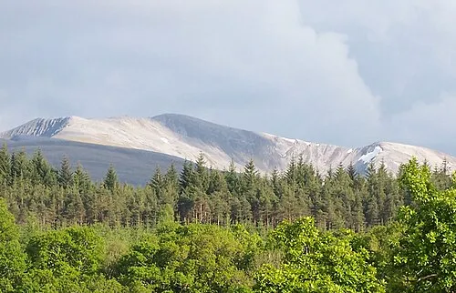 Stob Choire Claurigh Mountain, Highland7.8 km SE
-
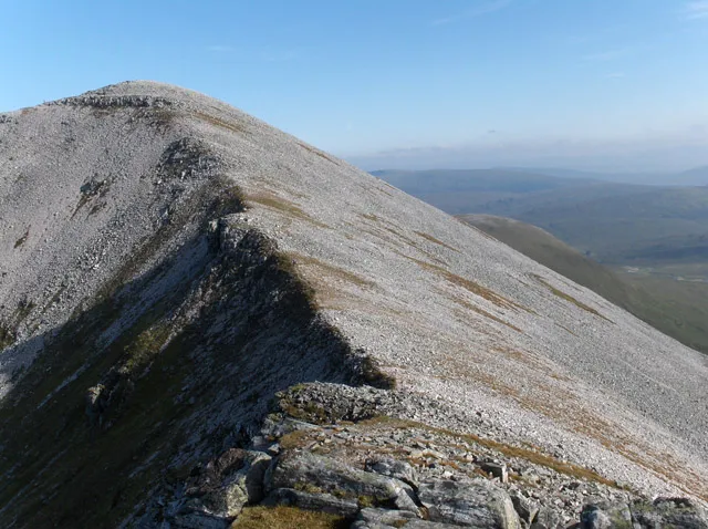 Stob Coire an Laoigh Mountain, Highland7.9 km S
More nature in United Kingdom
-
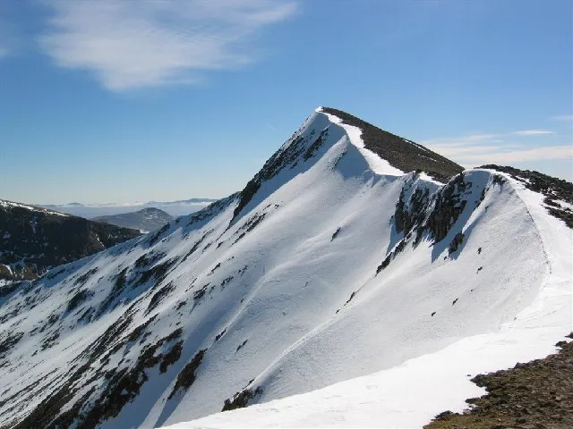 Carn Mor Dearg Mountain, Highland8.6 km S
-
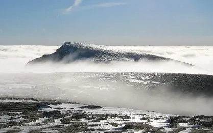 Aonach Beag Mountain, Highland8.6 km S
-
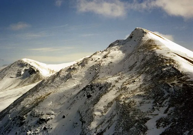 Sgurr Choinnich Mor Mountain, Highland8.6 km S
-
Tom na Sroine Mountain, Highland5.4 km S
-
Meall na Coille Moire Mountain, Highland6.1 km SW
-
Creagan a' Mhuilinn Mountain, Highland6.2 km NE
Sources & licences
Data last updated: