Aonach Beag
Located in Highland, Scotland Coordinates: 56°48′00″ N 4°57′15″ W
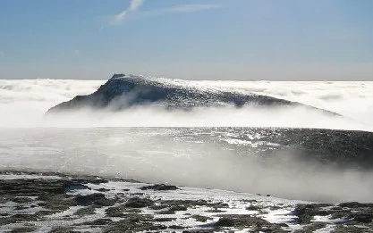
- Elevation
- 1,234 m
- above sea level
- Local time
- UTC+00:00
- Europe/London · UTC+00:00
About Aonach Beag
Aonach Beag is a mountain. Location: Highland, Scotland. Elevation: 1,234 m.
Aonach Beag is a mountain in the Scottish Highlands. It is located about 3 km east of Ben Nevis on the north side of Glen Nevis, near the town of Fort William. Apart from Ben Nevis, Aonach Beag is the highest peak in the British Isles outside the Cairngorm mountains in eastern Scotland. Aonach Beag is linked to its close neighbour to the north, Aonach Mòr, by a high saddle or bealach. The name Aonach Beag (small ridge) might imply that this mountain is smaller than Aonach Mòr (big ridge).
Read more on Wikipedia Text: Wikipedia contributors · CC BY-SA 4.0 · shortened
At a glance
- Topographic prominence
- 404 m
Source: Wikidata
In comparison
- No. 11 of 18223 mountains in United Kingdom by elevation
- 80 sights and natural places within 10 km Stob Coire Bhealaich, Aonach Mor
Airports nearest to Aonach Beag
- Inverness Airport (INV) Inverness, Highland 99 km
- Glasgow Airport (GLA) Glasgow 108 km
- Tiree Airport (TRE) Balemartine, Argyll and Bute 122 km
Straight-line distance; airports with scheduled flights only. Source: OurAirports (public domain).
Nearest towns and villages
-
Caol Village, Highland9.9 km NW
-
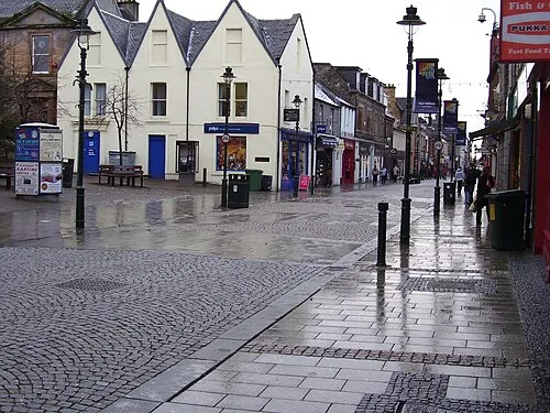 Fort William Town, Inverness-shire9.8 km W
-
Kinlochleven Village, Highland9.9 km S
-
Spean Bridge Village, Highland10 km N
-
Luibeilt Village, Highland7.2 km SE
-
Torlundy Village, Highland7.7 km NW
Nearby attractions & nature
Everything nearby-
Stob Coire Bhealaich Mountain, Highland0.8 km SE
-
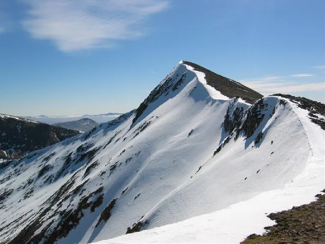 Carn Mor Dearg Mountain, Highland2.1 km W
-
Aonach Mor Mountain, Highland1.5 km N
-
Sgurr a' Bhuic Mountain, Highland1.5 km SE
-
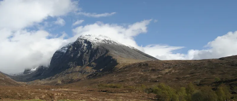 Ben Nevis Mountain, Highland3.1 km W
-
Stob an Chul-Choire Mountain, Highland1.7 km N
-
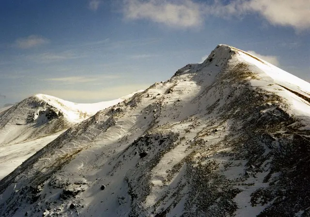 Sgurr Choinnich Mor Mountain, Highland3 km E
-
Sgurr Choinnich Beag Mountain, Highland2.4 km E
More nature in United Kingdom
-
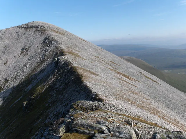 Stob Coire an Laoigh Mountain, Highland4.4 km E
-
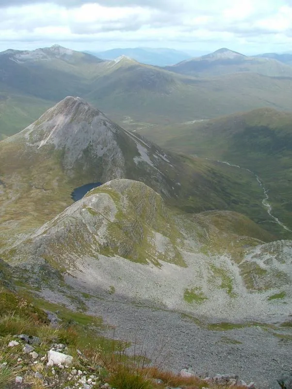 Binnein Beag Mountain, Highland4.5 km SE
-
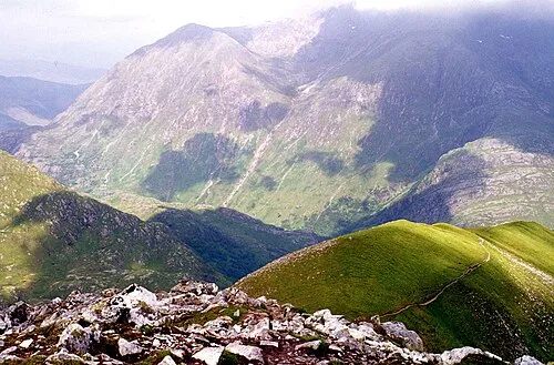 An Gearanach Mountain, Highland4.7 km S
-
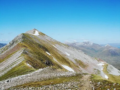 Binnein Mor Mountain, Highland5.4 km S
-
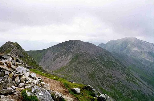 Stob Coire a' Chairn Mountain, Highland5.6 km S
-
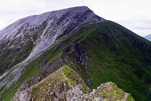 Sgurr a' Mhaim Mountain, Highland5.8 km SW
Sources & licences
Data last updated: · 2 independent sources