Ben Nevis
Located in Highland, Scotland Coordinates: 56°47′48″ N 5°00′14″ W
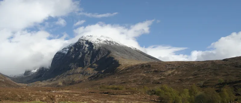
- Elevation
- 1,345 m
- above sea level
- Local time
- UTC+00:00
- Europe/London · UTC+00:00
About Ben Nevis
Ben Nevis is a mountain. Location: Highland, Scotland. Elevation: 1,345 m.
Ben Nevis ( NEV-iss; Scottish Gaelic: Beinn Nibheis, Scottish Gaelic pronunciation: [pe(ɲ) ˈɲivɪʃ]) is the highest mountain in Scotland, the United Kingdom, and the British Isles. Ben Nevis stands at the western end of the Grampian Mountains in the Highland region of Lochaber, close to the town of Fort William. The mountain is a popular destination, attracting an estimated 150,000 visitors a year, around three-quarters of whom use the Mountain Track from Glen Nevis. The mountain has hosted a foot race since 1898.
Read more on Wikipedia Text: Wikipedia contributors · CC BY-SA 4.0 · shortened
At a glance
- Topographic prominence
- 1,344 m
Source: Wikidata
In comparison
- Highest of 18223 mountains in United Kingdom
- 78 sights and natural places within 10 km Carn Dearg (North), Carn Dearg (NW) (old GR)
Airports nearest to Ben Nevis
- Inverness Airport (INV) Inverness, Highland 101 km
- Glasgow Airport (GLA) Glasgow 109 km
- Tiree Airport (TRE) Balemartine, Argyll and Bute 119 km
Straight-line distance; airports with scheduled flights only. Source: OurAirports (public domain).
Nearest towns and villages
-
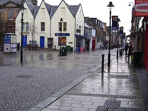 Fort William Town, Inverness-shire7 km W
-
Caol Village, Highland7.4 km NW
-
Kinlochleven Village, Highland9.6 km S
-
Claggan Neighbourhood, Highland5.7 km NW
-
Torlundy Village, Highland6.2 km NW
-
Inverlochy Neighbourhood, Highland6.4 km NW
Nearby attractions & nature
Everything nearby-
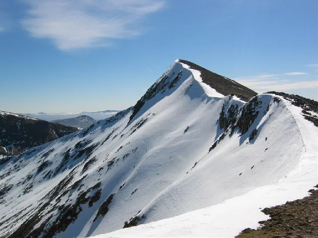 Carn Mor Dearg Mountain, Highland1.4 km NE
-
Carn Dearg (North) Mountain, Highland1 km NW
-
Carn Dearg (NW) (old GR) Mountain, Highland1.2 km NW
-
Carn Dearg (South) Mountain, Highland1.6 km SW
-
Carn Dearg Meadhonach Mountain, Highland1.7 km NE
-
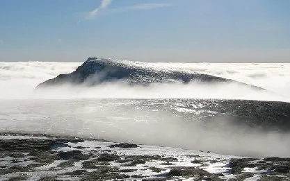 Aonach Beag Mountain, Highland3.1 km E
-
Meall Cumhann Mountain, Highland2 km SE
-
Carn Beag Dearg Mountain, Highland2.4 km N
More nature in United Kingdom
-
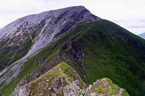 Sgurr a' Mhaim Mountain, Highland4.5 km S
-
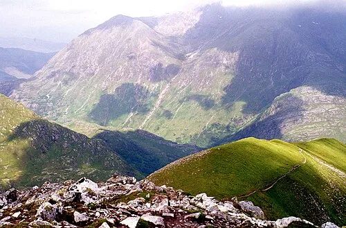 An Gearanach Mountain, Highland4.8 km SE
-
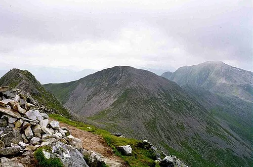 Stob Coire a' Chairn Mountain, Highland5.5 km SE
-
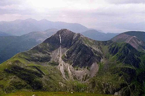 Stob Bàn Mountain, Highland6.1 km S
-
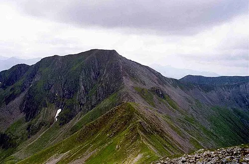 Am Bodach Mountain, Highland6.3 km S
-
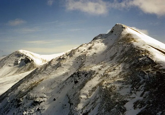 Sgurr Choinnich Mor Mountain, Highland6.1 km E
Sources & licences
Data last updated: · 2 independent sources