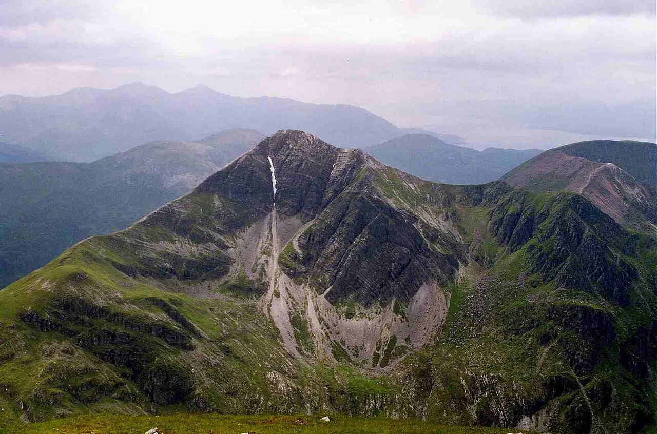
- Elevation
- 1,000 m
- above sea level
- Local time
- UTC+00:00
- Europe/London · UTC+00:00
- Airports
- GLA Glasgow Airport104 km
- INV Inverness Airport107 km
About Stob Bàn
Stob Bàn is a mountain. Location: Highland, Scotland. Elevation: 1,000 m.
Stob Bàn is a Scottish mountain situated at the western end of the Mamores ridge, five and a half kilometres north-west of Kinlochleven. With a height of 999 metres (3,278 feet) it qualifies as a Munro. Stob Bàn is a distinctive sight when viewed from lower Glen Nevis with its sharp peak and capping of white quartzite rocks which are often mistaken for snow; its Gaelic name translates as White Peak or Light Coloured Peak.
Source: Wikipedia · CC BY-SA 4.0
At a glance
- Topographic prominence
- 237 m
Source: Wikidata
Photos of Stob Bàn
-

Peter S · CC BY-SA 2.0 -

Peter S · CC BY-SA 2.0 -

Nilfanion · CC BY-SA 3.0 -

Nilfanion · CC BY-SA 3.0 -

Gog the Mild · CC BY-SA 4.0


Climate of Stob Bàn
This month · November
A wet month
Day 3° · Night -2° · Rain 266 mm
- Hottest month
- July (day 12°)
- Coldest month
- February (night -4°)
- Wettest month
- January (288 mm)
- Driest month
- May (106 mm)
Bars: average monthly low and high temperature. Below: precipitation. Monthly averages for 1970–2000 at about 18 km resolution, adjusted for elevation. Highlighted months are mild and relatively dry. Source: WorldClim 2.1 (CC BY 4.0).
Show values as a table
| Month | Jan | Feb | Mar | Apr | May | Jun | Jul | Aug | Sep | Oct | Nov | Dec |
|---|---|---|---|---|---|---|---|---|---|---|---|---|
| Average high (°C) | 1° | 1° | 2° | 5° | 8° | 10° | 12° | 12° | 9° | 6° | 3° | 1° |
| Average low (°C) | -4° | -4° | -4° | -2° | 1° | 3° | 5° | 5° | 3° | 1° | -2° | -4° |
| Precipitation (mm) | 288 | 189 | 229 | 120 | 106 | 113 | 133 | 157 | 222 | 248 | 266 | 279 |
How to get to Stob Bàn
The nearest airport is Glasgow Airport (GLA), 104 km to the south as the crow flies. The nearest large city is Glasgow, 109 km to the southeast.
Airports
- Glasgow Airport (GLA) Glasgow 104 kmsouth
- Inverness Airport (INV) Inverness, Highland 107 kmnortheast
- Tiree Airport (TRE) Balemartine, Argyll and Bute 116 kmwest
Nearby large cities
- Glasgow Population: 626.4K 109 kmsoutheast
- Dundee Population: 148.2K 130 kmeast
- Edinburgh Population: 515K 144 kmsoutheast
- Aberdeen Population: 198.6K 184 kmeast
- Belfast Population: 348K 246 kmsouth
Straight-line distances; road distances are longer. Airport data: OurAirports.
Day trips from Stob Bàn
Within 100 km: 63 historic and cultural sites, 4,864 natural sites, 1,346 lakes, rivers and coasts.
0–25 km395 places
- Eilean Molach Island 23 kmSE
- Eilean na Craoibhe Island 18 kmW
- Eilean an Tuilaich Island 24 kmNE
- Eilean na Fead Island 22 kmNE
25–60 km2,241 places
- Oronsay Island 56 kmW
- Eriska Island 33 kmSW
- Shuna Island Island 28 kmSW
- Eilean Shona Island 51 kmW
60–100 km3,637 places
- Isle of Skye Island 97 kmNW
- Island of Raasay Island 95 kmNW
- Eigg Island 72 kmW
- Scarba Island 75 kmSW
Straight-line distances.
Nearest towns and villages
-
 Kinlochleven Village, Highland5 km SE
-
 Glencoe Village, Highland8.1 km SW
-
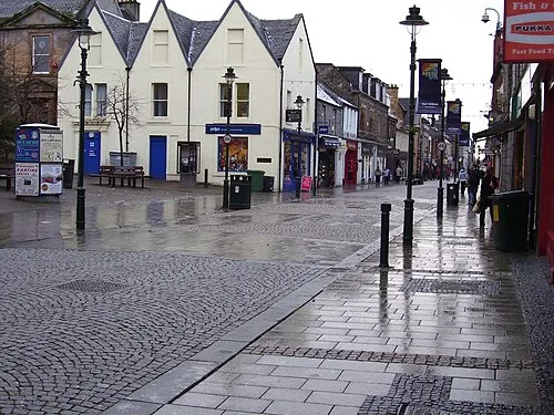 Fort William Town, Inverness-shire9.5 km NW
-
Caolasnacon Village, Highland4.8 km S
-
Kinlochmore Village, Highland5.2 km SE
-
Highland Village, Highland5.3 km SE
Nearby attractions & nature
Everything nearby-
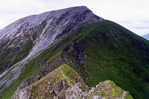 Sgurr a' Mhaim Mountain, Highland2.1 km NE
-
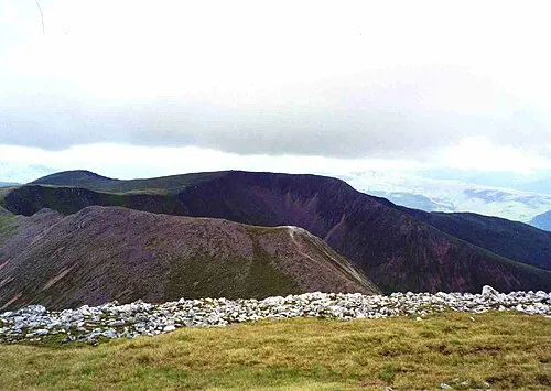 Mullach nan Coirean Mountain, Highland2.7 km W
-
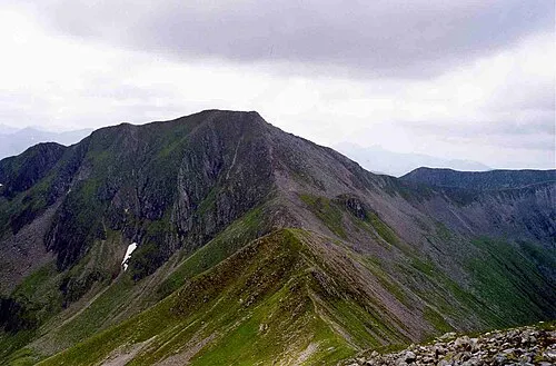 Am Bodach Mountain, Highland2.9 km E
-
Stob Choire a' Mhail Mountain, Highland1.6 km E
-
Mullach nan Coirean SE Top Mountain, Highland1.7 km W
-
Sgor an Iubhair Mountain, Highland1.7 km E
-
Mamore Forest Natural site, Highland2 km E
-
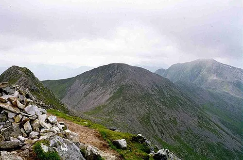 Stob Coire a' Chairn Mountain, Highland3.8 km E
More nature in United Kingdom
-
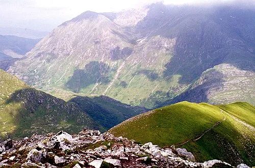 An Gearanach Mountain, Highland4.2 km NE
-
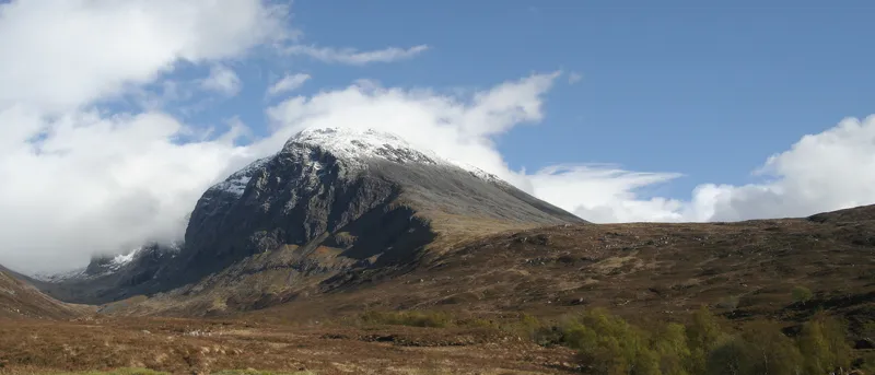 Ben Nevis Mountain, Highland6.1 km N
-
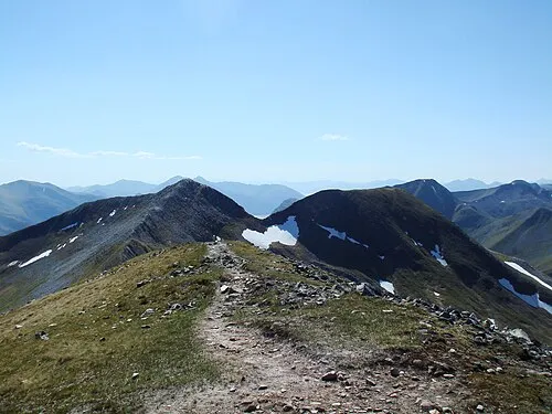 Na Gruagaichean Mountain, Highland5.5 km E
-
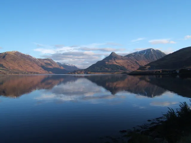 Pap of Glencoe Mountain, Highland6.5 km S
-
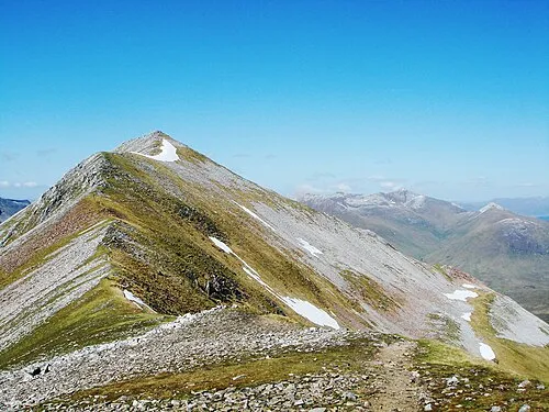 Binnein Mor Mountain, Highland6.5 km E
-
Beinn na Caillich Mountain, Highland2.7 km S
Sources & licences
Data last updated: · 2 independent sources