Binnein Mor
Located in Highland, Scotland Coordinates: 56°45′16″ N 4°55′33″ W
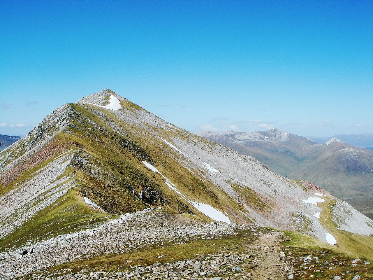
- Elevation
- 1,130 m
- above sea level
- Local time
- UTC+00:00
- Europe/London · UTC+00:00
About Binnein Mor
Binnein Mor is a mountain. Location: Highland, Scotland. Elevation: 1,130 m.
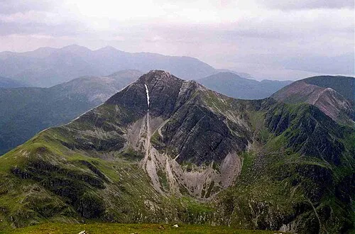
Binnein Mòr is the highest peak in the Mamores, the range of mountains between Glen Nevis and Loch Leven in the Highlands of Scotland, located about five kilometres north-northeast of Kinlochleven. The pyramidal summit of Binnein Mòr lies above the uninhabited upper section of Glen Nevis, north of the main Mamores ridge. To the south, a short narrow ridge links to the main ridge at an unnamed 1062 m subsidiary top listed in Munro's Tables as Binnein Mòr south top.
Read more on Wikipedia Text: Wikipedia contributors · CC BY-SA 4.0 · shortened
At a glance
- Topographic prominence
- 759 m
Source: Wikidata
In comparison
- No. 53 of 18223 mountains in United Kingdom by elevation
- 83 sights and natural places within 10 km Binnein Mor South Top, Sgor Eilde Beag
Nearest towns and villages
-
Kinlochleven Village, Highland5.6 km SW
-
Kinlochmore Village, Highland4.6 km SW
-
Highland Village, Highland5.3 km SW
-
Luibeilt Village, Highland5.3 km NE
-
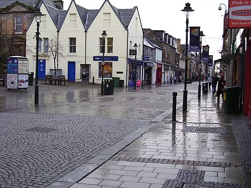 Fort William Town, Inverness-shire13 km NW
-
Caol Village, Highland14 km NW
Nearby attractions & nature
Everything nearby-
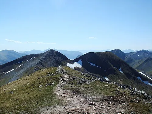 Na Gruagaichean Mountain, Highland1.5 km SW
-
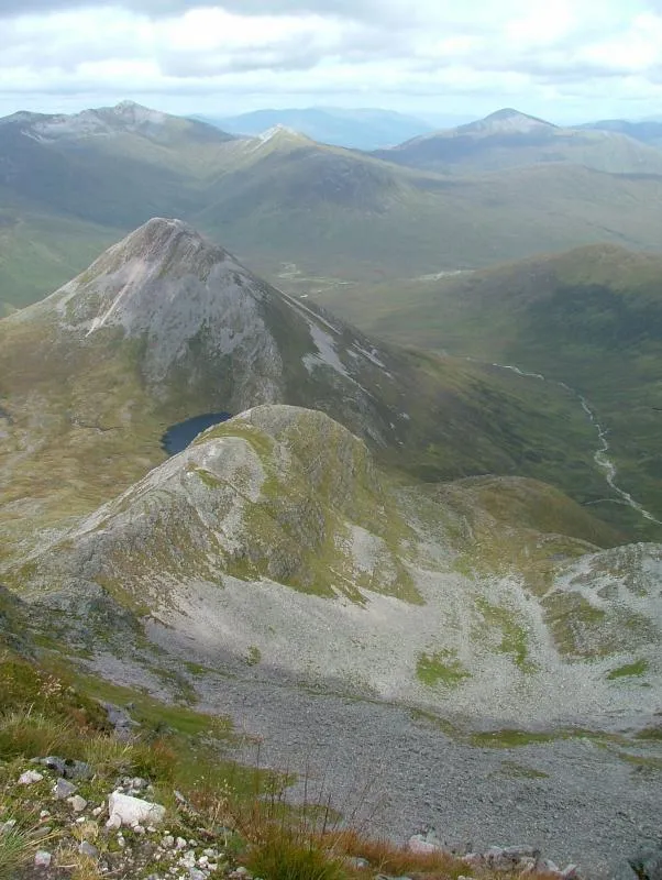 Binnein Beag Mountain, Highland1.7 km NE
-
Binnein Mor South Top Mountain, Highland0.7 km S
-
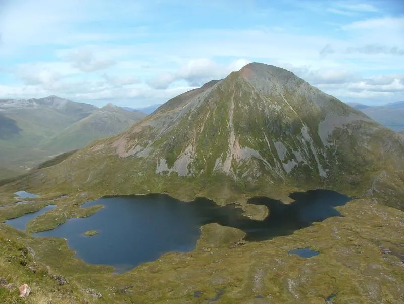 Sgurr Eilde Mor Mountain, Highland1.9 km E
-
Sgor Eilde Beag Mountain, Highland1.3 km SE
-
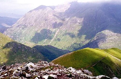 An Gearanach Mountain, Highland2.5 km W
-
Na Gruagaichean North Top Mountain, Highland1.4 km SW
-
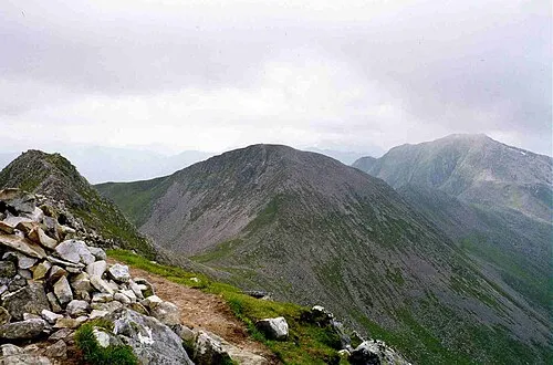 Stob Coire a' Chairn Mountain, Highland2.7 km W
More nature in United Kingdom
-
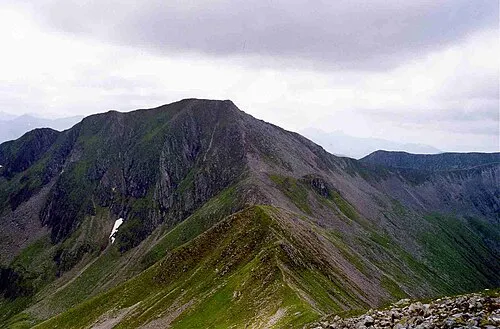 Am Bodach Mountain, Highland3.9 km SW
-
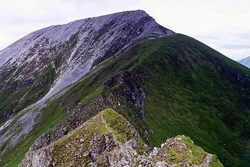 Sgurr a' Mhaim Mountain, Highland4.8 km W
-
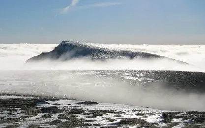 Aonach Beag Mountain, Highland5.4 km N
-
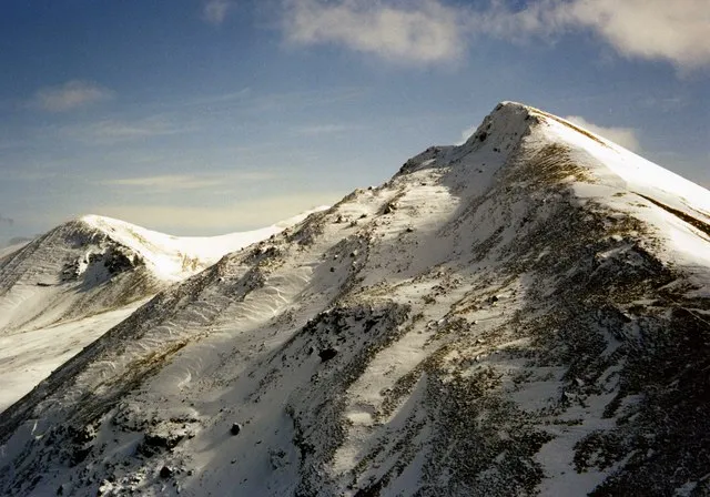 Sgurr Choinnich Mor Mountain, Highland5.3 km N
-
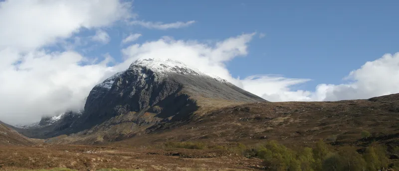 Ben Nevis Mountain, Highland6.7 km NW
-
 Stob Bàn Mountain, Highland6.5 km W
Sources & licences
Data last updated: · 2 independent sources