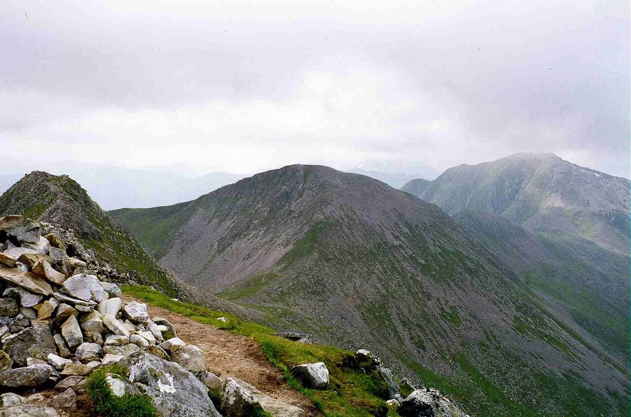
- Elevation
- 981 m
- above sea level
- Local time
- UTC+00:00
- Europe/London · UTC+00:00
- Airports
- GLA Glasgow Airport103 km
- INV Inverness Airport104 km
About Stob Coire a' Chairn
Stob Coire a' Chairn is a mountain. Location: Highland, Scotland. Elevation: 981 m.
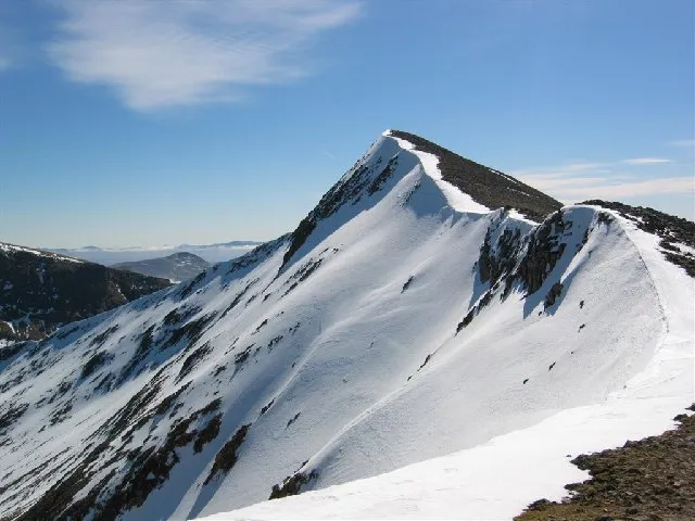
Stob Coire a’ Chàirn is a Scottish mountain situated in the Mamores range, 3.5 kilometres north of Kinlochleven. The mountain reaches a height of 981 metres (3218 feet) and is regarded as one of the more modest peaks of the ten Munros in the Mamores, indeed for many years it was not named on OS maps. Despite this, it is situated at a strategically important point and could be said to be the most central of the group with three ridges radiating out to other Munros.
Source: Wikipedia · CC BY-SA 4.0
At a glance
- Topographic prominence
- 124 m
Source: Wikidata
Photos of Stob Coire a' Chairn
-

Mick Knapton at English Wikipedia · CC BY-SA 3.0 -

Mick Knapton at English Wikipedia · CC BY-SA 3.0 -
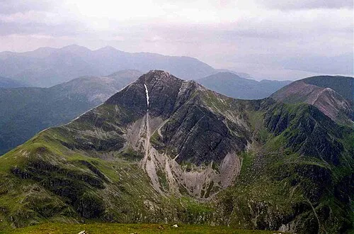
Stob Bàn Mick Knapton at English Wikipedia · CC BY-SA 3.0 -
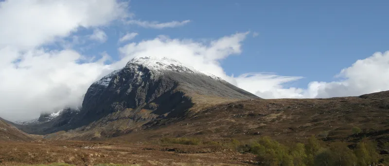
Ben Nevis Loek037 at Dutch Wikipedia · CC BY-SA 3.0 -
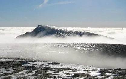
Aonach Beag Stuart Meek · CC BY-SA 2.0


Climate of Stob Coire a' Chairn
This month · November
A wet month
Day 3° · Night -2° · Rain 288 mm
- Hottest month
- July (day 12°)
- Coldest month
- February (night -4°)
- Wettest month
- January (320 mm)
- Driest month
- June (124 mm)
Bars: average monthly low and high temperature. Below: precipitation. Monthly averages for 1970–2000 at about 18 km resolution, adjusted for elevation. Highlighted months are mild and relatively dry. Source: WorldClim 2.1 (CC BY 4.0).
Show values as a table
| Month | Jan | Feb | Mar | Apr | May | Jun | Jul | Aug | Sep | Oct | Nov | Dec |
|---|---|---|---|---|---|---|---|---|---|---|---|---|
| Average high (°C) | 1° | 1° | 2° | 5° | 8° | 11° | 12° | 12° | 9° | 6° | 3° | 1° |
| Average low (°C) | -4° | -4° | -3° | -2° | 1° | 4° | 6° | 6° | 4° | 1° | -2° | -4° |
| Precipitation (mm) | 320 | 209 | 249 | 135 | 125 | 124 | 141 | 168 | 238 | 275 | 288 | 299 |
How to get to Stob Coire a' Chairn
The nearest airport is Glasgow Airport (GLA), 103 km to the south as the crow flies. The nearest large city is Glasgow, 108 km to the southeast.
Airports
- Glasgow Airport (GLA) Glasgow 103 kmsouth
- Inverness Airport (INV) Inverness, Highland 104 kmnortheast
- Tiree Airport (TRE) Balemartine, Argyll and Bute 120 kmwest
Nearby large cities
- Glasgow Population: 626.4K 108 kmsoutheast
- Dundee Population: 148.2K 126 kmeast
- Edinburgh Population: 515K 141 kmsoutheast
- Aberdeen Population: 198.6K 180 kmeast
- Belfast Population: 348K 247 kmsouth
Straight-line distances; road distances are longer. Airport data: OurAirports.
Day trips from Stob Coire a' Chairn
Within 100 km: 67 historic and cultural sites, 4,903 natural sites, 1,323 lakes, rivers and coasts.
0–25 km378 places
- Eilean Molach Island 21 kmSE
- Eilean na Craoibhe Island 21 kmW
- Eilean an Tuilaich Island 21 kmNE
- Eilean na Fead Island 19 kmNE
25–60 km2,259 places
- Oronsay Island 59 kmW
- Eriska Island 37 kmSW
- Shuna Island Island 31 kmSW
- Eilean Shona Island 55 kmW
60–100 km3,656 places
- Isle of Skye Island 99 kmNW
- Island of Raasay Island 97 kmNW
- Eigg Island 75 kmW
- Scarba Island 78 kmSW
Straight-line distances.
Nearest towns and villages
-
 Kinlochleven Village, Highland4.4 km S
-
Kinlochmore Village, Highland3.8 km S
-
Highland Village, Highland4.3 km S
-
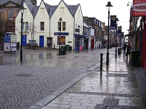 Fort William Town, Inverness-shire11 km NW
-
 Caol Village, Highland13 km NW
-
 Glencoe Village, Highland11 km SW
Nearby attractions & nature
Everything nearby-
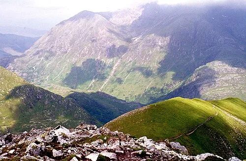 An Gearanach Mountain, Highland0.9 km N
-
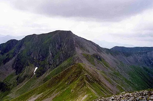 Am Bodach Mountain, Highland1.4 km SW
-
Stob Coire a' Chairn South Top Mountain, Highland0.6 km SW
-
An Garbhanach Mountain, Highland0.6 km NE
-
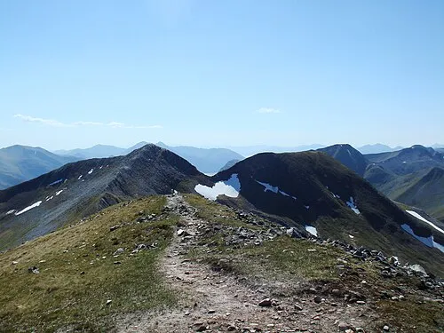 Na Gruagaichean Mountain, Highland1.9 km SE
-
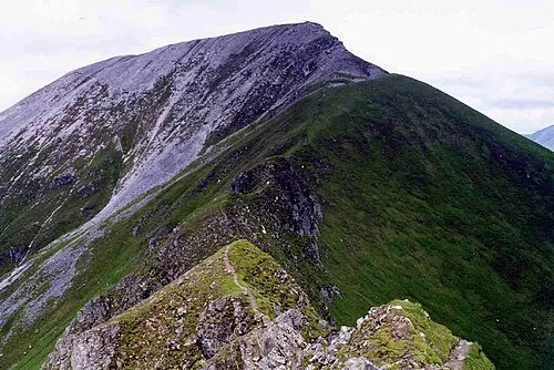 Sgurr a' Mhaim Mountain, Highland2.2 km W
-
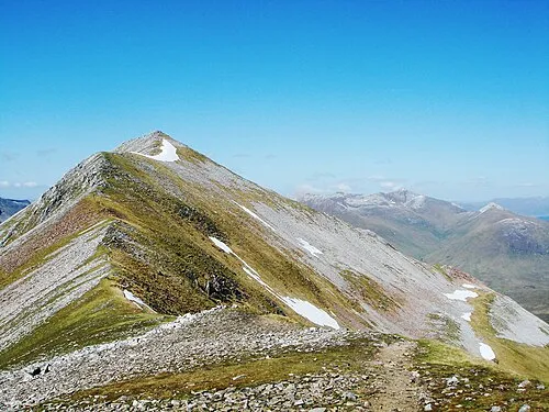 Binnein Mor Mountain, Highland2.7 km E
-
Na Gruagaichean North Top Mountain, Highland1.7 km E
More nature in United Kingdom
-
Stob Bàn Mountain, Highland3.8 km W
-
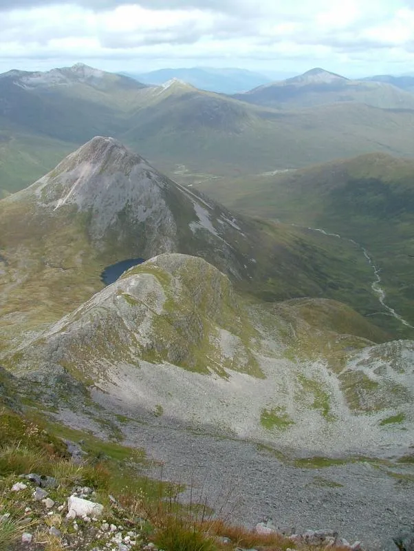 Binnein Beag Mountain, Highland4 km NE
-
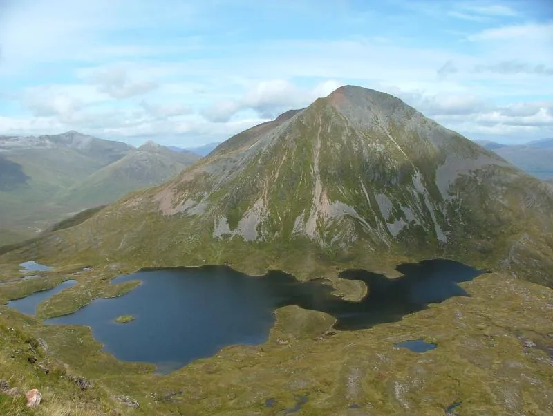 Sgurr Eilde Mor Mountain, Highland4.5 km E
-
Ben Nevis Mountain, Highland5.5 km NW
-
Aonach Beag Mountain, Highland5.6 km N
-
 Carn Mor Dearg Mountain, Highland6.2 km N
Sources & licences
Data last updated: · 2 independent sources