- Local time
- UTC+00:00
- Europe/London · UTC+00:00
- Elevation
- 137 m
- above sea level
- Airports
- INV Inverness Airport61 km
- SYY Stornoway Airport102 km
About Tuiteam Tarbhach
Tuiteam Tarbhach is a historic site. Location: Highland, Scotland. The best months to visit are July. The nearest airport is Inverness Airport (61 km). Nearby sights include Strath Oykell and Carn Mor.
Climate of Tuiteam Tarbhach
Best months for sightseeingBest months for sightseeing: July.
This month · November
A wet month
Day 8° · Night 2° · Rain 212 mm
- Hottest month
- July (day 17°)
- Coldest month
- February (night 0°)
- Wettest month
- November (212 mm)
- Driest month
- May (95 mm)
Bars: average monthly low and high temperature. Below: precipitation. Monthly averages for 1970–2000 at about 18 km resolution, adjusted for elevation. Highlighted months are mild and relatively dry. Source: WorldClim 2.1 (CC BY 4.0).
Show values as a table
| Month | Jan | Feb | Mar | Apr | May | Jun | Jul | Aug | Sep | Oct | Nov | Dec |
|---|---|---|---|---|---|---|---|---|---|---|---|---|
| Average high (°C) | 6° | 6° | 8° | 11° | 14° | 16° | 17° | 17° | 15° | 12° | 8° | 6° |
| Average low (°C) | 1° | 0° | 1° | 3° | 5° | 8° | 10° | 10° | 8° | 5° | 2° | 0° |
| Precipitation (mm) | 205 | 146 | 175 | 104 | 95 | 107 | 115 | 135 | 178 | 201 | 212 | 201 |
Other places to visit in this season: July
How to get to Tuiteam Tarbhach
The nearest airport is Inverness Airport (INV), 61 km to the southeast as the crow flies. The nearest large city is Aberdeen, 179 km to the southeast.
Airports
- Inverness Airport (INV) Inverness, Highland 61 kmsoutheast
- Stornoway Airport (SYY) Stornoway, Western Isles 102 kmwest
- Wick John O'Groats Airport (WIC) Wick 106 kmnortheast
Nearby large cities
- Aberdeen Population: 198.6K 179 kmsoutheast
- Dundee Population: 148.2K 197 kmsoutheast
- Glasgow Population: 626.4K 237 kmsouth
- Edinburgh Population: 515K 243 kmsouth
- Newcastle upon Tyne Population: 300.1K 384 kmsoutheast
Straight-line distances; road distances are longer. Airport data: OurAirports.
Day trips from Tuiteam Tarbhach
Within 100 km: 39 historic and cultural sites, 2,945 natural sites, 770 lakes, rivers and coasts.
0–25 km291 places
- Eilean Dubh Island 20 kmW
- Eilean nan Ròn Island 17 kmSE
- Eilean a' Chairn Island 15 kmE
- Eilean Gill a' Bhalgionn Island 12 kmS
25–60 km1,709 places
- Eilean a' Char Island 47 kmW
- Eilean Dubh Island 47 kmNW
- Moy Island Island 48 kmS
- Whale Islet Island 58 kmNW
60–100 km1,754 places
- Findlays Seat Mountain 98 kmSE
- Lossiemouth East Beach Beach 87 kmE
- Clett Island 96 kmNE
- Eilean Tigh Island 96 kmSW
Straight-line distances.
Nearby attractions & nature
Everything nearby-
Strath Oykell Natural site, Highland2.1 km SW
-
Carn Mor Mountain, Highland3.8 km NW
-
Beinn Ulbhaidh Mountain, Highland5.5 km S
-
Eilean Thùrnaig Island, Highland4.4 km SW
-
Cnoc nan Caorach Mountain, Highland5.8 km SW
-
Fionn Bheinn Mhor Mountain, Highland6.5 km W
-
Cnoc a' Bhaid Daraich Mountain, Highland6.7 km W
-
Beinn an Eoin Bheag Mountain, Highland6.8 km NW
Nearest towns and villages
More sights in Highland
-
 Victoria Park Landmark, Highland45 km S
-
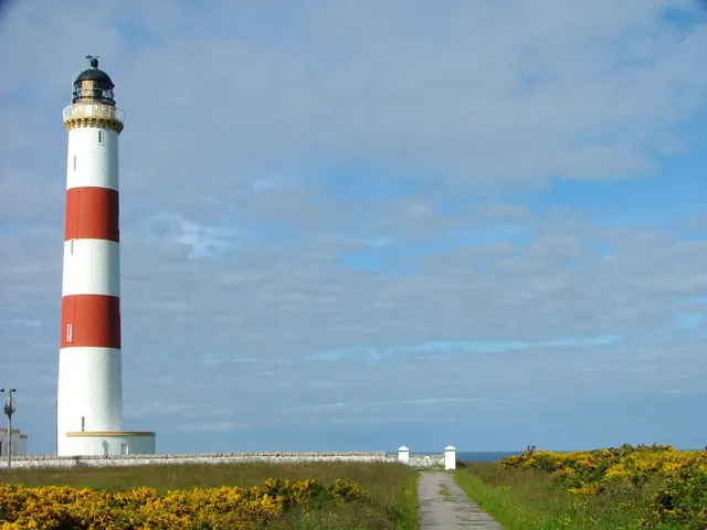 Tarbat Ness Lighthouse Landmark, Highland53 km E
-
Ardbreck Castle Historic site, Highland29 km NW
-
 Caledonian Stadium Landmark, Highland60 km SE
-
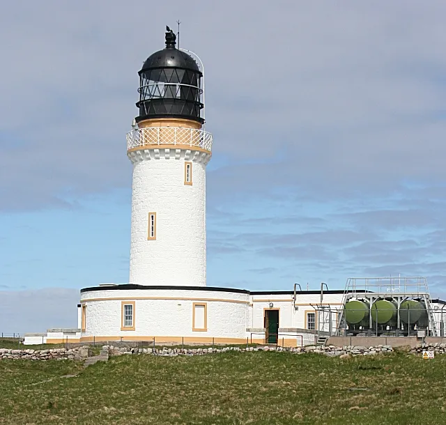 Cape Wrath Lighthouse Landmark, Highland74 km N
-
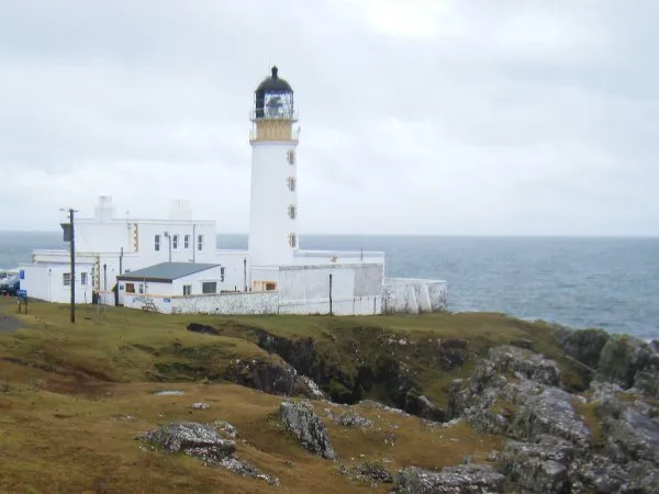 Rubha Reidh Lighthouse Landmark, Highland70 km W
Sources & licences
Data last updated: