- Population
- 99,880
- 99.9K
- Elevation
- 162 m
- above sea level
- Local time
- UTC+00:00
- Europe/London · UTC+00:00
- Places inside
- 130
- listed under Midlothian
- Airports
- EDI Edinburgh Airport22 km
- DND Dundee Airport70 km
About Midlothian
Midlothian is a district. Location: Scotland, United Kingdom. Population: 99,880.
In comparison
- 38 sights and natural places within 10 km Baker's Avenue Wood, Charlisle Wood
- Listed here: Village: 48, Mountain: 31, Neighbourhood: 29, Natural site: 5
Climate of Midlothian
Best months for sightseeingBest months for sightseeing: June–August.
Bars: average monthly low and high temperature. Below: precipitation. Monthly averages for 1970–2000 at about 18 km resolution, adjusted for elevation. Highlighted months are mild and relatively dry. Source: WorldClim 2.1 (CC BY 4.0).
Show values as a table
| Month | Jan | Feb | Mar | Apr | May | Jun | Jul | Aug | Sep | Oct | Nov | Dec |
|---|---|---|---|---|---|---|---|---|---|---|---|---|
| Average high (°C) | 6° | 6° | 8° | 10° | 14° | 17° | 18° | 18° | 15° | 12° | 8° | 7° |
| Average low (°C) | 0° | 0° | 1° | 3° | 5° | 8° | 10° | 10° | 8° | 6° | 3° | 1° |
| Precipitation (mm) | 120 | 87 | 98 | 69 | 71 | 77 | 81 | 90 | 102 | 118 | 111 | 116 |
Airports nearest to Midlothian
- Edinburgh Airport (EDI) Ingliston, Edinburgh 22 km
- Dundee Airport (DND) Dundee 70 km
- Glasgow Airport (GLA) Glasgow 84 km
Straight-line distance; airports with scheduled flights only. Source: OurAirports (public domain).
Places in Midlothian
130 places-
Gallow Hill Mountain
-
Gask Hill Mountain
-
Glencorse Neighbourhood
-
Gore Water River
-
Gowkshill Village
-
Green Law Mountain
-
Greenlaw Mains Neighbourhood
-
Halk Law Mountain
-
Hare Hill Mountain
-
Harle Rigging Mountain
-
Hawthornden Village
-
Hillend Village
-
Howgate Village
-
Huntly Cot Hills Mountain
-
King's Seat Mountain
-
Kirk Bridge Landmark
-
Kirkhill Neighbourhood
-
Ladywood Neighbourhood
-
Lasswade Village
-
Leadburn Village
-
Loanburn Neighbourhood
-
Lugton Neighbourhood
-
Mauricewood Neighbourhood
-
Melville Castle Historic site
-
Middleton Village Village
-
Millerhill Village
-
Milton Bridge Village
-
Monkswood Neighbourhood
-
Newbattle Village
-
Newbattle Abbey Historic site
-
Newbigging Village
-
Newlandrig Village
-
New Pentland Neighbourhood
-
Newtongrange Village
-
Newton Village Village
-
Nine Mile Burn Village
-
North Middleton Village
-
Old Pentland Village
-
Patie's Hill Mountain
-
Polton Village
-
Poltonhall Neighbourhood
-
Pomathorn Village
-
Quarryhead Neighbourhood
-
Rosslyn Chapel Attraction
-
Scald Law Mountain
-
Scottish Mining Museum Museum
-
Seafield Village
-
Sherwood Neighbourhood
-
Silverburn Village
-
South Black Hill Mountain
-
Spittal Hill Mountain
-
Staiside Court Village
-
Straiton Neighbourhood
-
Temple Village
-
Temple View Village
-
Town Centre Neighbourhood
-
Toxsidehill Mountain
-
Turnhouse Hill Mountain
-
Tynehead Village
-
Tyre Water River
Nearby attractions & nature
Everything nearby-
Fullarton Water River, Scotland3.6 km SW
-
Roseberry Reservoir Lake, Scotland4.5 km S
-
Tweeddale Burn River, Scotland5.7 km SW
-
Gladhouse Reservoir Lake, Scotland6.5 km S
-
Torfichen Hill Mountain, The Scottish Borders7.1 km S
-
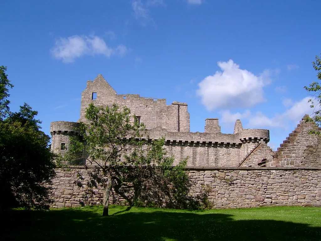 Craigmillar Castle Historic site, Edinburgh12 km N
Sources & licences
Data last updated: