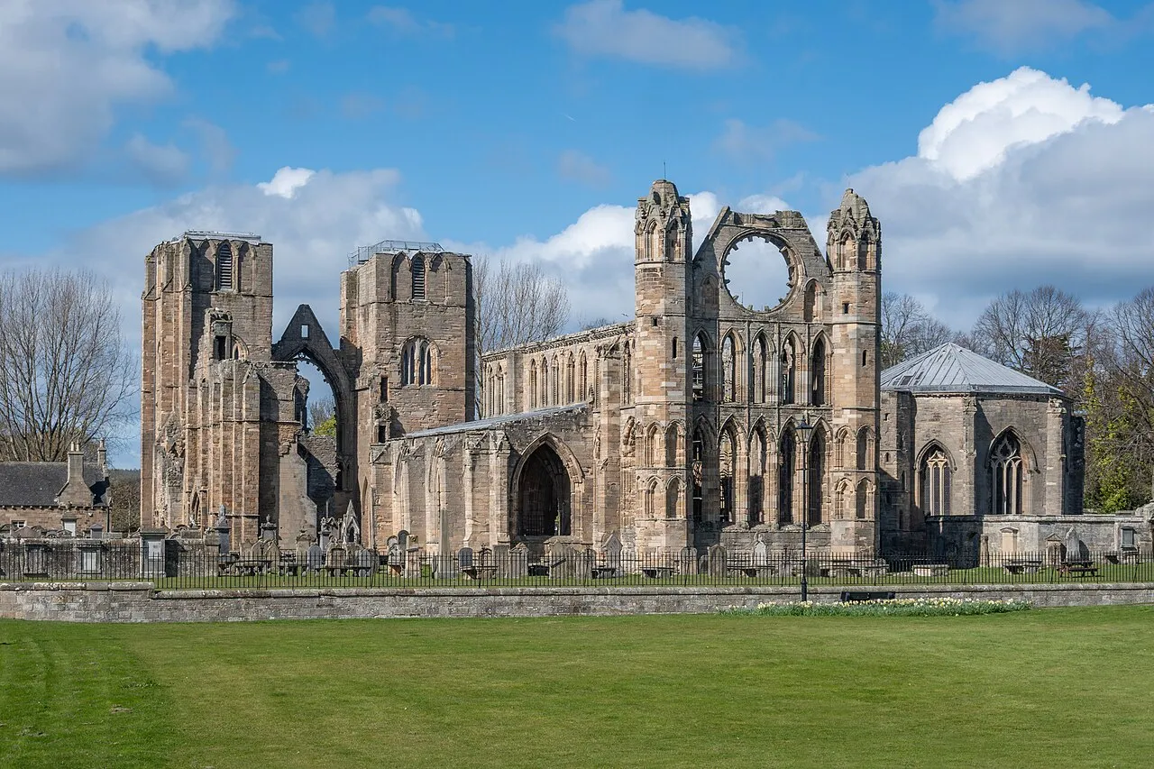
- Population
- 95,010
- 95K
- Elevation
- 489 m
- above sea level
- Local time
- UTC+00:00
- Europe/London · UTC+00:00
- Places inside
- 465
- listed under Moray
- Airports
- INV Inverness Airport50 km
- ABZ Aberdeen International Airport68 km
About Moray
Moray is a district. Location: Scotland, United Kingdom. Population: 95,010. The best months to visit are July–August. The nearest airport is Inverness Airport (50 km). Nearby sights include Tom a' Chait and Knock Frink.
Climate of Moray
Best months for sightseeingBest months for sightseeing: July–August.
This month · November
A cold month
Day 6° · Night 0° · Rain 90 mm
- Hottest month
- July (day 16°)
- Coldest month
- February (night -2°)
- Wettest month
- January (97 mm)
- Driest month
- April (58 mm)
Bars: average monthly low and high temperature. Below: precipitation. Monthly averages for 1970–2000 at about 18 km resolution, adjusted for elevation. Highlighted months are mild and relatively dry. Source: WorldClim 2.1 (CC BY 4.0).
Show values as a table
| Month | Jan | Feb | Mar | Apr | May | Jun | Jul | Aug | Sep | Oct | Nov | Dec |
|---|---|---|---|---|---|---|---|---|---|---|---|---|
| Average high (°C) | 4° | 4° | 6° | 8° | 11° | 14° | 16° | 16° | 13° | 10° | 6° | 4° |
| Average low (°C) | -2° | -2° | -1° | 0° | 3° | 6° | 8° | 8° | 6° | 3° | 0° | -1° |
| Precipitation (mm) | 97 | 67 | 76 | 58 | 61 | 63 | 62 | 73 | 84 | 96 | 90 | 85 |
How to get to Moray
The nearest airport is Inverness Airport (INV), 50 km to the west as the crow flies. For international flights: Aberdeen International Airport (ABZ) (68 km). The nearest large city is Aberdeen, 76 km to the southeast.
Airports
- Inverness Airport (INV) Inverness, Highland 50 kmwest
- Aberdeen International Airport (ABZ) Aberdeen 68 kmeast
- Dundee Airport (DND) Dundee 108 kmsouth
Nearby large cities
- Aberdeen Population: 198.6K 76 kmsoutheast
- Dundee Population: 148.2K 107 kmsouth
- Edinburgh Population: 515K 163 kmsouth
- Glasgow Population: 626.4K 183 kmsouth
- Newcastle upon Tyne Population: 300.1K 290 kmsouth
Straight-line distances; road distances are longer. Airport data: OurAirports.
Places in Moray
465 placesCities & villages20
- Glenlatterach · Village
- Glenlivet · Village
- Glen Rinnes · Village
- Grange Crossroads · Village
- Greenfold · Village
- Hallowood · Village
- Ianstown · Village
- Inchberry · Village
- Inchrory · Village
- Kellas · Village
- Kilbady · Village
- Kingston · Village
- Kintessack · Village
- Kirktown of Deskford · Village
- Kirktown of Mortlach · Village
- Knock · Village
- Knockandhu · Village
- Knockando · Village
- Lawrenceton · Village
- Letterfourie · Village
Mountains & nature32
- Glen of Rothes · Natural site
- Glen Rinnes · Natural site
- Grange Hill · Mountain
- Grant Park · Natural site
- Grumack Hill · Mountain
- Hart Hill · Mountain
- Hillhead Hill · Mountain
- Hill of Buchromb · Mountain
- Hill of Clais nan Earb · Mountain
- Hill of Conerock · Mountain
- Hill of Dalnapot · Mountain
- Hill of Glenroads · Mountain
- Hill of Knocknashalg · Mountain
- Hill of Maud · Mountain
- Hill of Mulderie · Mountain
- Hill of Mulundy · Mountain
- Hill of Phones · Mountain
- Hill of Retanach · Mountain
- Hill of the Wangie · Mountain
- Hill of Three Stones · Mountain
- Hill of Towie · Mountain
- Jock's Hill · Mountain
- Keith Hill · Mountain
- Kneedeep · Mountain
- Knockan · Mountain
- Knock Hill · Mountain
- Knock More · Mountain
- Knock of Allachie · Mountain
- Knock of Braemoray · Mountain
- Leids Hill · Mountain
- Letterach · Mountain
- Liath Bheinn · Mountain
Lakes, rivers & coasts7
- Haugh Island · Island
- Heathery Isle · Island
- Island of Dundurcas · Island
- Island Roary · Island
- Kymah Burn · River
- Ladder Burn · River
- Leanoch Burn · River
Heritage & sights1
- Gordon Chapel · Attraction
Nearby attractions & nature
Everything nearby-
Tom a' Chait Mountain, Highland10 km SW
-
Knock Frink Mountain, Highland13 km W
-
Larig Hill Mountain, Highland17 km W
-
Geal Charn Mountain, Highland13 km W
-
Craig Watch Mountain, Aberdeenshire14 km E
-
Burn of Davidston River, Scotland17 km E
Sources & licences
Data last updated: