- Population
- 9,860
- 9.9K
- Elevation
- 56 m
- above sea level
- Local time
- UTC+00:00
- Europe/London · UTC+00:00
- Airports
- GLA Glasgow Airport26 km
- EDI Edinburgh Airport43 km
About Kilsyth
Kilsyth is a town. Location: North Lanarkshire, Scotland. Population: 9,860. Elevation: 56 m.
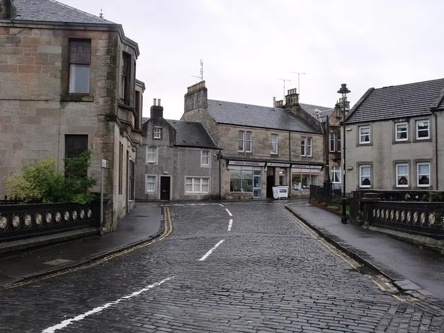
Kilsyth (; Scottish Gaelic: Cill Saidhe) is a town and civil parish in North Lanarkshire, roughly halfway between Glasgow and Stirling in Scotland. The estimated population is 10,380. The town is famous for the Battle of Kilsyth and the religious revivals of the 18th, 19th, and 20th centuries. The town now has links with Cumbernauld at one time being part of Cumbernauld and Kilsyth District Council. The towns also have the same members of parliament at Holyrood and Westminster.
Source: Wikipedia · CC BY-SA 4.0
Photos of Kilsyth
-

Alan O'Dowd · CC BY-SA 2.0 -

Alan O'Dowd · CC BY-SA 2.0 -

Richard Webb · CC BY-SA 2.0 -

JThomas · CC BY-SA 2.0 -

John Lord · CC BY 2.0


Travel notes for Kilsyth
From Wikivoyage
Kilsyth is a town on Clydeside, historically part of Lanarkshire, in the Central Belt of Scotland. It's 15 miles northeast of Glasgow near the watershed between the Clyde and Forth river catchments, at a point where the natural lowland routes become pinched between the Lanarkshire moors, the abrupt Campsie Fells, and sucking bogs. So this way have passed the Romans, cattle droves, warring armies (the Battle of Kilsyth was fought here in 1645), and later road, canal and rail routes. The town claims to be the birthplace of the ice-sport of curling and to host the oldest club, though there are stronger contenders for both titles. With a population of 11,000 in 2022, it's nowadays a commuter town for Glasgow, along with the neighbouring villages of Croy and Dullatur. Four miles southeast is the drab "New Town" of Cumbernauld.
Understand+
The islanders built the wall which they had been told to raise, not of stone, since they had no workmen capable of such a work, but of sods, which made it of no use.
- the Venerable Bede blamed the state of the Antonine Wall on lumpen British workmanship.
The Roman Empire colonised Britain from 43 AD: they quickly secured England, and marched up the east coast of Scotland. In 84 AD Agricola fought the battle of Mons Graupius against the Caledonians, probably somewhere near Stonehaven. He won, but Rome was preoccupied by threats elsewhere, and couldn't spare troops to garrison Scotland. They fell back to a line of control between the Tyne and the Solway, building Hadrian's Wall in 122 AD. After a few years they were again ready to advance.
So it was in 142 AD under Emperor Antoninus Pius that a new wall was built, stretching 39 miles (63 km) from Bo'ness on the Firth of Forth to Old Kilpatrick near Dumbarton on the Firth of Clyde. The Antonine Wall was a turf barrier on a stone foundation topped by palisades, with a deep ditch on its north side and a military road to its south. There were 19 forts and a series of fortlets or lookouts along it, of similar homespun construction. The wall took 12 years to complete and for the following eight years the Romans enjoyed standing sentry in the rain and occasional skirmishes with the Caledonians. Then the Empire retrenched and in 162 AD the troops again fell back to Hadrian's Wall. They re-occupied the Antonine Wall briefly in 208 AD but remained on Hadrian's Wall until Rome abandoned Britain altogether early in the 5th century.
Get in+
By plane:
Glasgow Airport (GLA IATA) is 25 miles west of Kilsyth. Take the airport bus 500 to Glasgow city centre then onward bus or train as below.
Edinburgh Airport (EDI IATA) is 30 miles east. Take the airport bus or tram to Haymarket then a westbound train.
Cumbernauld airport only has private aviation.
By train:
1 Croy is the nearest railway station, two miles south of Kilsyth along B802. This has trains from Glasgow Queen Street every 15 min, taking 15 min. These continue either east to Edinburgh (every 30 min via Falkirk, taking 35 min) or north to Stirling (every 30 min, taking 20 min) and Alloa. Change at Stirling for Perth, Dundee, Aberdeen and Inverness: those trains rush through Croy non-stop. Croy has a staffed ticket office and machines, a waiting room, toilets and coffee kiosk. There is step-free access to both platforms.
Between Kilsyth and Croy, take the bus as below.
By road:
From Glasgow follow M80 to jcn 4A, then B802 through Croy. You could also take A803 through Bishopbriggs and Kirkintilloch, but it's an undivided road dragging through residential areas. From Edinburgh follow M9 then M876 to the M80.
By bus:
First Greater Glasgow Bus 89 runs M-Sa every 30 min from Glasgow Buchanan station via Caledonian University, Springburn, Bishopbriggs, Cadder and Kirkintilloch to Kilsyth, taking an hour. There's only two on Sunday.
Midland Bluebird Bus 72 runs M-Sa hourly from Glasgow via Lenzie and Kirkintilloch, taking an hour, and continues west to Falkirk, another 40 min. Change at Falkirk for Stirling or Edinburgh.
Canavan Bus 435 runs M-Sa every 30 min between Kilsyth, Croy and Cumbernauld. Bus 344 / 349 also plies between Kilsyth and Croy station.
Source: Wikivoyage · CC BY-SA 4.0 · abridged
Climate of Kilsyth
Best months for sightseeingBest months for sightseeing: June–August.
This month · November
A wet month
Day 9° · Night 3° · Rain 144 mm
- Hottest month
- July (day 19°)
- Coldest month
- January (night 1°)
- Wettest month
- January (156 mm)
- Driest month
- April (66 mm)
Bars: average monthly low and high temperature. Below: precipitation. Monthly averages for 1970–2000 at about 18 km resolution, adjusted for elevation. Highlighted months are mild and relatively dry. Source: WorldClim 2.1 (CC BY 4.0).
Show values as a table
| Month | Jan | Feb | Mar | Apr | May | Jun | Jul | Aug | Sep | Oct | Nov | Dec |
|---|---|---|---|---|---|---|---|---|---|---|---|---|
| Average high (°C) | 6° | 7° | 8° | 11° | 15° | 17° | 19° | 18° | 15° | 12° | 9° | 7° |
| Average low (°C) | 1° | 1° | 2° | 4° | 6° | 9° | 11° | 11° | 9° | 6° | 3° | 2° |
| Precipitation (mm) | 156 | 107 | 116 | 66 | 71 | 68 | 75 | 91 | 125 | 147 | 144 | 144 |
How to get to Kilsyth
The nearest airport is Glasgow Airport (GLA), 26 km to the southwest as the crow flies. The nearest large city is Glasgow, 17 km to the southwest.
Airports
- Glasgow Airport (GLA) Glasgow 26 kmsouthwest
- Edinburgh Airport (EDI) Ingliston, Edinburgh 43 kmeast
- Glasgow Prestwick Airport (PIK) Prestwick, South Ayrshire 62 kmsouthwest
Nearby large cities
- Glasgow Population: 626.4K 17 kmsouthwest
- Edinburgh Population: 515K 54 kmeast
- Dundee Population: 148.2K 87 kmnortheast
- Aberdeen Population: 198.6K 177 kmnortheast
- Newcastle upon Tyne Population: 300.1K 191 kmsoutheast
Straight-line distances; road distances are longer. Airport data: OurAirports.
Day trips from Kilsyth
Within 100 km: 187 historic and cultural sites, 3,798 natural sites, 999 lakes, rivers and coasts.
0–25 km179 places
- Newshot Island Island 24 kmW
- Inch Island 21 kmNE
- Spiers Island Island 16 kmSE
- Speirs Island Island 2 kmE
25–60 km1,442 places
- Great Cumbrae Island Island 59 kmSW
- Hunterston Sands Beach 59 kmSW
- Burntisland Beach Beach 53 kmE
- Cramond beach Beach 48 kmE
60–100 km3,363 places
- Isle of Arran Island 86 kmSW
- Ayr Beach Beach 68 kmSW
- Troon Beach Beach 61 kmSW
- Gullane Beach Beach 76 kmE
Straight-line distances.
Nearby attractions & nature
Everything nearby-
Court Hill Mountain, North Lanarkshire0.9 km E
-
Antonine Wall Historic site, East Dunbartonshire1.1 km SW
-
Croy Hill Mountain, North Lanarkshire2.1 km SE
-
Bar Hill Mountain, East Dunbartonshire2 km S
-
Speirs Island Island, North Lanarkshire2.1 km E
-
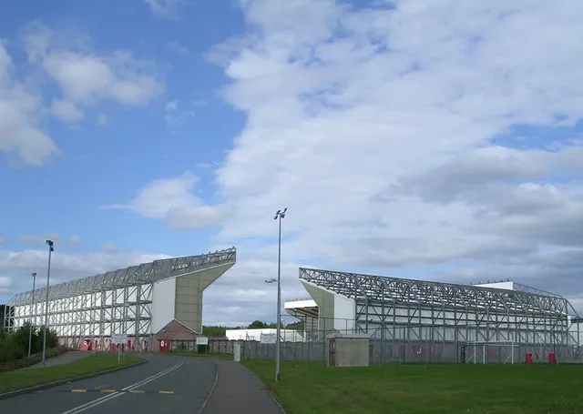 Broadwood Stadium Landmark, North Lanarkshire3.7 km S
-
Kilsyth Hills Mountain, Scotland3.1 km NW
-
Garrel Hill Mountain, North Lanarkshire3.5 km N
Other cities and towns in North Lanarkshire
-
Cumbernauld Town, North Lanarkshire5.4 km SE
-
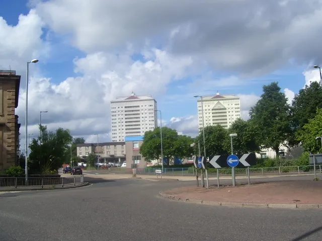 Coatbridge Town, North Lanarkshire13 km S
-
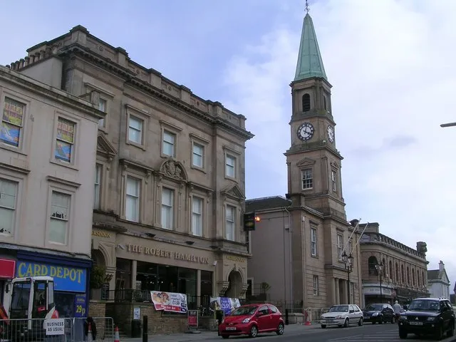 Airdrie Town, North Lanarkshire13 km S
-
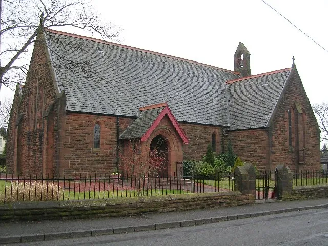 Stepps Town, North Lanarkshire11 km SW
-
Moodiesburn Town, North Lanarkshire7 km S
-
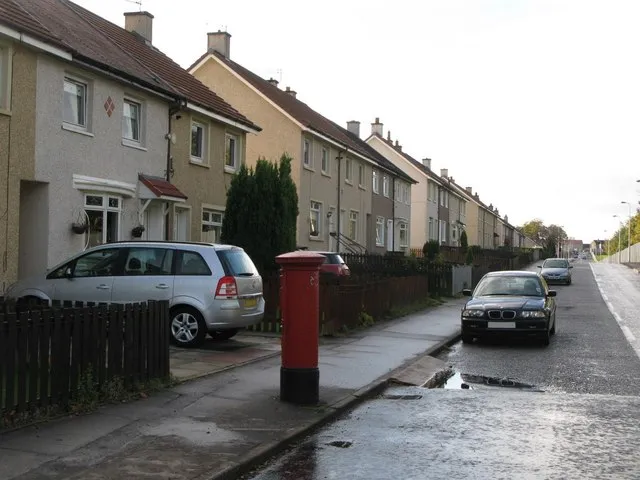 Viewpark Town, North Lanarkshire17 km S
Sources & licences
Data last updated: · 2 independent sources