- Elevation
- 25 m
- above sea level
- Local time
- UTC+00:00
- Europe/London · UTC+00:00
- Airports
- KOI Kirkwall Airport12 km
- EOI Eday Airport39 km
About Hunda
Hunda is an island. Location: Orkney Islands, Scotland. The best months to visit are July–August. The nearest airport is Kirkwall Airport (12 km). Nearby sights include Dam of Hoxa and Berryhill.
Photos of Hunda
-
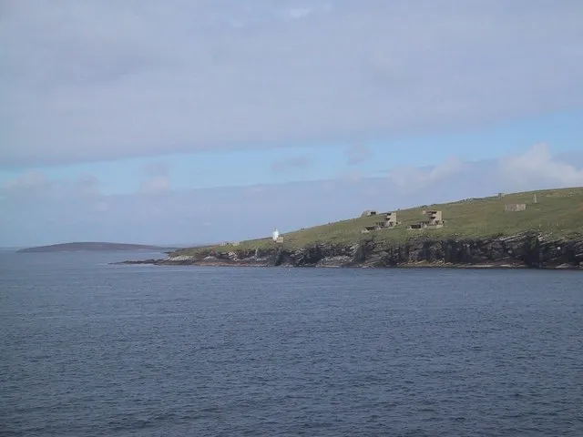
Hoxa Head Sarah Charlesworth · CC BY-SA 2.0 -
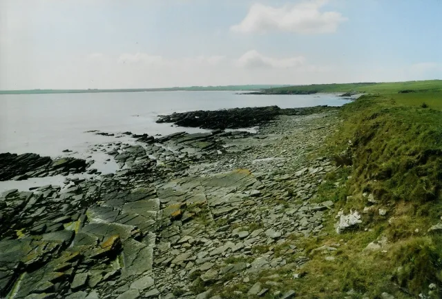
Burray Haas David Wyatt · CC BY-SA 2.0 -
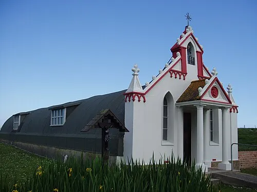
Italian Chapel Gregory J Kingsley · CC BY-SA 3.0


Climate of Hunda
Best months for sightseeingBest months for sightseeing: July–August.
This month · November
A wet month
Day 9° · Night 4° · Rain 126 mm
- Hottest month
- August (day 15°)
- Coldest month
- February (night 2°)
- Wettest month
- November (126 mm)
- Driest month
- May (54 mm)
Bars: average monthly low and high temperature. Below: precipitation. Monthly averages for 1970–2000 at about 18 km resolution, adjusted for elevation. Highlighted months are mild and relatively dry. Source: WorldClim 2.1 (CC BY 4.0).
Show values as a table
| Month | Jan | Feb | Mar | Apr | May | Jun | Jul | Aug | Sep | Oct | Nov | Dec |
|---|---|---|---|---|---|---|---|---|---|---|---|---|
| Average high (°C) | 6° | 6° | 7° | 9° | 11° | 13° | 15° | 15° | 14° | 11° | 9° | 7° |
| Average low (°C) | 2° | 2° | 2° | 3° | 6° | 8° | 10° | 10° | 8° | 7° | 4° | 3° |
| Precipitation (mm) | 110 | 85 | 99 | 65 | 54 | 55 | 61 | 73 | 101 | 116 | 126 | 116 |
How to get to Hunda
The nearest airport is Kirkwall Airport (KOI), 12 km to the north as the crow flies. The nearest large city is Aberdeen, 198 km to the south.
Airports
- Kirkwall Airport (KOI) Kirkwall, Orkney Islands 12 kmnorth
- Eday Airport (EOI) Eday 39 kmnorth
- Wick John O'Groats Airport (WIC) Wick 45 kmsouth
Nearby large cities
- Aberdeen Population: 198.6K 198 kmsouth
- Dundee Population: 148.2K 266 kmsouth
- Edinburgh Population: 515K 324 kmsouth
- Glasgow Population: 626.4K 342 kmsouth
Straight-line distances; road distances are longer. Airport data: OurAirports.
Day trips from Hunda
Within 100 km: 37 historic and cultural sites, 704 natural sites, 272 lakes, rivers and coasts.
0–25 km286 places
- Hoy Island 19 kmW
- Shapinsay Island 22 kmN
- Flotta Island 9 kmW
- Hesta Head Natural site 9 kmSE
25–60 km345 places
- Rousay Island 35 kmN
- Eday Island 38 kmN
- Papa Westray Island Island 55 kmN
- Wyre Island 29 kmN
60–100 km382 places
- Eilean nan Ron Island 86 kmW
- Rabbit Islands Island 89 kmSW
- North Ronaldsay Island 66 kmNE
- Neave Island Island 84 kmSW
Straight-line distances.
Nearest towns and villages
-
Saint Margaret's Hope Village, Orkney Islands3.6 km S
-
Hillside Village, Orkney Islands2.5 km E
-
Westhill Village, Orkney Islands2.8 km SE
-
Hoxa Village, Orkney Islands3.6 km SW
-
Burray Village Village, Orkney Islands3.7 km E
-
Northtown Village, Orkney Islands4.2 km E
Nearby attractions & nature
Everything nearby-
Dam of Hoxa Natural site, Orkney Islands2.6 km S
-
Berryhill Island, Orkney Islands2.4 km E
-
Hoxa Hill Mountain, Orkney Islands3.4 km S
-
Gill Bay Natural site, Scotland2.4 km S
-
Echnaloch Bay Natural site, Orkney Islands3.1 km E
-
Northtown Hill Mountain, Orkney Islands4 km E
-
Hoxa Head Natural site, Orkney Islands5.4 km SW
-
Glimps Holm Island, Orkney Islands4 km NE
More lakes, rivers and coasts in United Kingdom
-
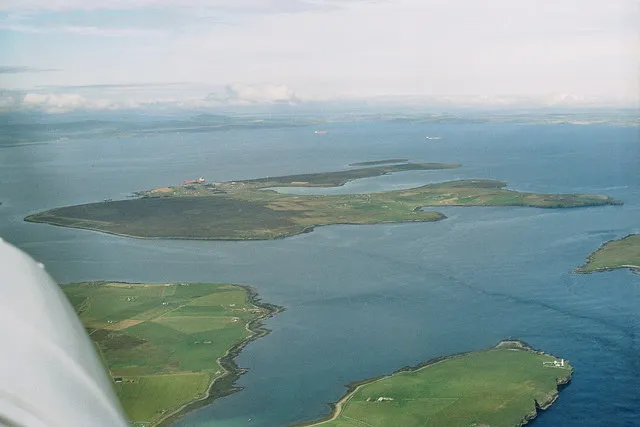 Flotta Island, Orkney Islands8.5 km W
-
Burray Island, Orkney Islands4.4 km E
-
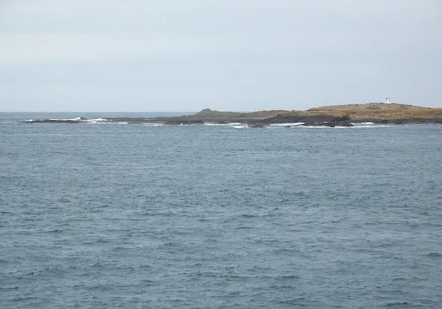 Swona Island, Orkney Islands13 km S
-
Calf of Flotta Island, Orkney Islands5.7 km W
-
Lamb Holm Island, Orkney Islands6 km NE
-
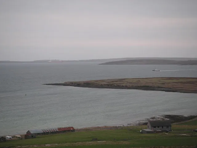 Holm of Houton Island, Orkney Islands14 km NW
Sources & licences
Data last updated: