Papa Westray Island
Local name: Papa Westray
Located in Orkney Islands, Scotland Coordinates: 59°21′00″ N 2°54′00″ W
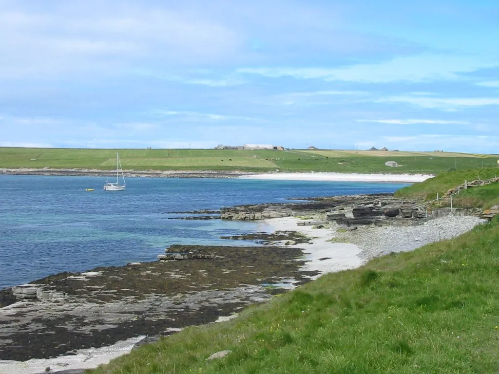
- Elevation
- 28 m
- above sea level
- Local time
- UTC+00:00
- Europe/London · UTC+00:00
- Population
- 90
- 90
- Airports
- EOI Eday Airport19 km
- KOI Kirkwall Airport44 km
About Papa Westray Island
Papa Westray Island is an island. Location: Orkney Islands, Scotland. Population: 90.
Papa Westray ( PAP-ə WEST-ree; Scots: Papa Westree), also known as Papay, is one of the Orkney Islands in Scotland, United Kingdom. The fertile soil has long been a draw to the island. Attractions on the island include Holland House with an associated folk museum and the Knap of Howar Neolithic farmstead run by Historic Scotland. It is the ninth largest of the Orkney Islands with an area of 918 hectares (2,270 acres).
Source: Wikipedia · CC BY-SA 4.0
Photos of Papa Westray Island
-

United Kingdom Hydrographic Office · Public domain -

Liberaler Humanist · CC BY-SA 3.0 -

Liberaler Humanist · CC BY-SA 3.0 -

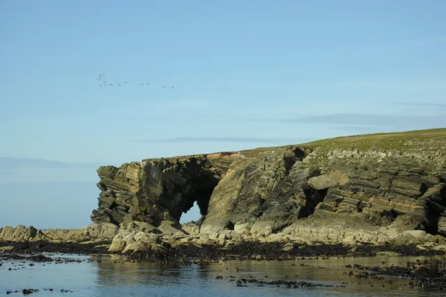
Derek Harper · CC BY-SA 2.0 -

Derek Harper · CC BY-SA 2.0


Travel notes for Papa Westray Island
From Wikivoyage
Papa Westray is one of the Orkney Islands north of mainland Scotland - nearly the northernmost, but North Ronaldsay edges it by half a mile. Papa Westray measures 4 miles north-south and a mile across, and is more low-lying and fertile than nearby Westray. In 2011 it had 90 residents, who usually just call it "Papay", pronounced Papee — the name refers to medieval priests. There's no travel information centre, but see the island website for info.
Get in+
By plane: Twice daily Loganair flights link Kirkwall with Papa Westray. These flights also stop at Westray just across the channel, making it the world's shortest scheduled flight, at just under two minutes. The flight between Kirkwall and North Ronaldsay also calls at Papa Westray on some days of the week.
1 Papa Westray Airport (PPW IATA) is midway along the island.
By boat the usual route is to first take the car ferry from Kirkwall on Orkney Mainland, which sails 2 or 3 times a day to Rapness at the south tip of Westray. There it's met by a minibus which takes you six miles north to Pierowall for the little inter-island ferry to Papa Westray. This sails May-Sep 3 to 6 times a day, taking 25 min, for foot passengers and bicycles only. Until April 2025, return fares from Kirkwall are £11.90 adult, £8.90 conc, £4.90 child. Day trips between Westray and Papay are also possible and the return fare is £5.90 adult.
Sailing Oct-April, or if you need to bring a vehicle, you need to take the Tuesday car ferry, which sails a triangular route between Kirkwall, Papay and North Ronaldsay.
2 South pier is the landing point for all ferries.
Source: Wikivoyage · CC BY-SA 4.0 · abridged
Climate of Papa Westray Island
This month · November
A wet month
Day 9° · Night 5° · Rain 135 mm
- Hottest month
- August (day 15°)
- Coldest month
- February (night 3°)
- Wettest month
- November (135 mm)
- Driest month
- May (50 mm)
Bars: average monthly low and high temperature. Below: precipitation. Monthly averages for 1970–2000 at about 18 km resolution, adjusted for elevation. Highlighted months are mild and relatively dry. Source: WorldClim 2.1 (CC BY 4.0).
Show values as a table
| Month | Jan | Feb | Mar | Apr | May | Jun | Jul | Aug | Sep | Oct | Nov | Dec |
|---|---|---|---|---|---|---|---|---|---|---|---|---|
| Average high (°C) | 7° | 7° | 7° | 8° | 10° | 13° | 14° | 15° | 13° | 11° | 9° | 8° |
| Average low (°C) | 3° | 3° | 3° | 4° | 6° | 8° | 10° | 10° | 9° | 7° | 5° | 4° |
| Precipitation (mm) | 117 | 90 | 103 | 67 | 50 | 54 | 60 | 74 | 107 | 125 | 135 | 124 |
How to get to Papa Westray Island
The nearest airport is Eday Airport (EOI), 19 km to the south as the crow flies. The nearest large city is Aberdeen, 250 km to the south.
Airports
- Eday Airport (EOI) Eday 19 kmsouth
- Kirkwall Airport (KOI) Kirkwall, Orkney Islands 44 kmsouth
- Wick John O'Groats Airport (WIC) Wick 100 kmsouth
Nearby large cities
- Aberdeen Population: 198.6K 250 kmsouth
- Dundee Population: 148.2K 321 kmsouth
- Edinburgh Population: 515K 379 kmsouth
- Glasgow Population: 626.4K 396 kmsouth
Straight-line distances; road distances are longer. Airport data: OurAirports.
Day trips from Papa Westray Island
Within 100 km: 30 historic and cultural sites, 468 natural sites, 152 lakes, rivers and coasts.
0–25 km134 places
- Rousay Island 22 kmS
- Eday Island 20 kmS
- The Wart Island 20 kmSE
- Westray Island 7 kmSW
25–60 km338 places
- Shapinsay Island 33 kmS
- Flotta Island 59 kmS
- Wyre Island 26 kmS
- Auskerry Island 40 kmSE
60–100 km178 places
- Hoy Island 60 kmSW
- Hesta Head Natural site 63 kmS
- Clett Island 89 kmSW
- Switha Island 62 kmS
Straight-line distances.
Nearest towns and villages
Nearby attractions & nature
Everything nearby-
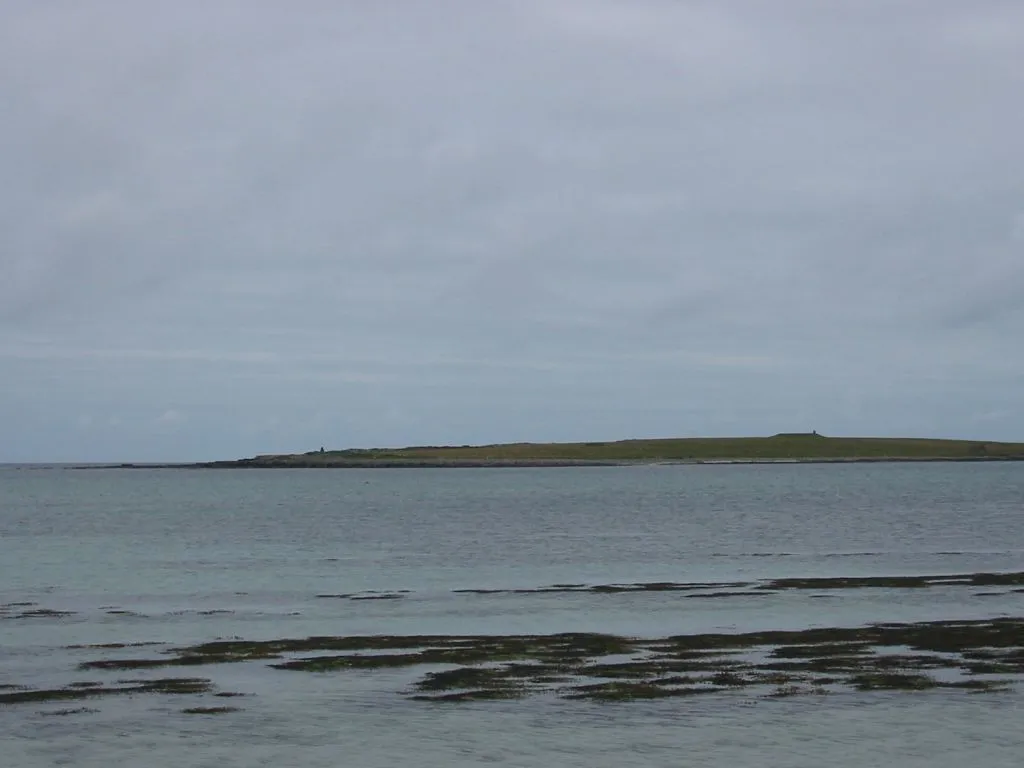 Holm of Papa Island, Orkney Islands1.8 km E
-
Head of Moclett Natural site, Orkney Islands2.1 km SE
-
Shell Holm Island, Orkney Islands1.9 km W
-
Bay of Moclett Natural site, Orkney Islands1.9 km S
-
South Wick Natural site, Orkney Islands1.9 km E
-
North Wick Natural site, Orkney Islands2.1 km NE
-
Bay of Burland Natural site, Orkney Islands2.1 km SE
-
Holm of Aikerness Island, Orkney Islands1.9 km W
More lakes, rivers and coasts in United Kingdom
-
Loch of Saint Tredwell Lake, Orkney Islands2.1 km SE
-
Herrbre Island, Orkney Islands2.8 km N
-
North Hill (Papa Westray) Island, Orkney Islands3.2 km N
-
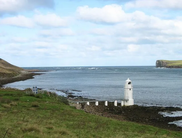 Eday Island, Orkney Islands20 km S
-
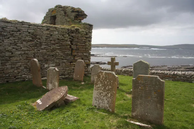 Rousay Island, Orkney Islands22 km S
-
 Holm of Faray Island, Orkney Islands13 km S
Sources & licences
Data last updated: · 2 independent sources