- Elevation
- 0 m
- above sea level
- Local time
- UTC+00:00
- Europe/London · UTC+00:00
- Airports
- KOI Kirkwall Airport25 km
- WIC Wick John O'Groats Airport39 km
About South Ness
South Ness is a natural site. Location: Orkney Islands, Scotland. The best months to visit are July–August. The nearest airport is Kirkwall Airport (25 km). Nearby sights include Gallow Tuag (South Walls) and Aith Head.
Photos of South Ness
-
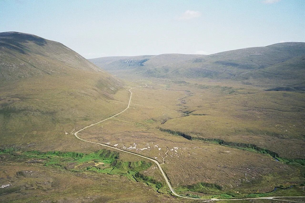
Hoy Srvban · CC BY 3.0 -
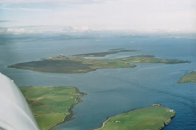
Flotta Chris · CC BY-SA 2.0 -
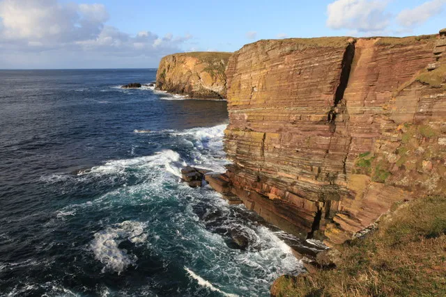
Garth Head Calum McRoberts · CC BY-SA 2.0 -
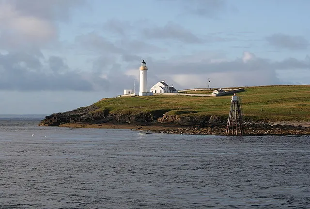
Cantick Head Des Colhoun · CC BY-SA 2.0 -
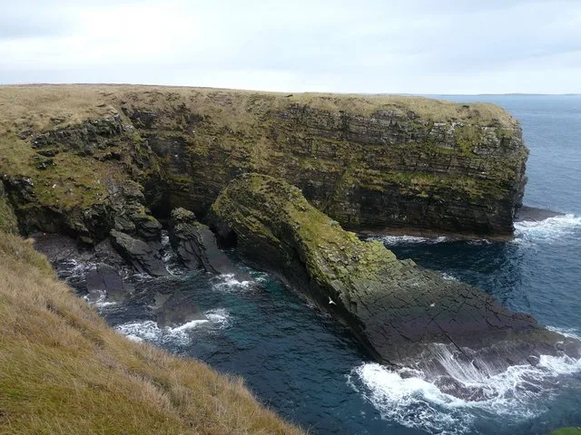
Aith Head Adam Ward · CC BY-SA 2.0


Climate of South Ness
Best months for sightseeingBest months for sightseeing: July–August.
This month · November
A wet month
Day 9° · Night 4° · Rain 130 mm
- Hottest month
- August (day 16°)
- Coldest month
- February (night 2°)
- Wettest month
- November (130 mm)
- Driest month
- May (56 mm)
Bars: average monthly low and high temperature. Below: precipitation. Monthly averages for 1970–2000 at about 18 km resolution, adjusted for elevation. Highlighted months are mild and relatively dry. Source: WorldClim 2.1 (CC BY 4.0).
Show values as a table
| Month | Jan | Feb | Mar | Apr | May | Jun | Jul | Aug | Sep | Oct | Nov | Dec |
|---|---|---|---|---|---|---|---|---|---|---|---|---|
| Average high (°C) | 7° | 7° | 7° | 9° | 11° | 14° | 15° | 16° | 14° | 12° | 9° | 7° |
| Average low (°C) | 2° | 2° | 3° | 4° | 6° | 8° | 10° | 10° | 9° | 7° | 4° | 3° |
| Precipitation (mm) | 114 | 87 | 102 | 65 | 56 | 56 | 64 | 76 | 103 | 121 | 130 | 119 |
How to get to South Ness
The nearest airport is Kirkwall Airport (KOI), 25 km to the northeast as the crow flies. The nearest large city is Aberdeen, 196 km to the south.
Airports
- Kirkwall Airport (KOI) Kirkwall, Orkney Islands 25 kmnortheast
- Wick John O'Groats Airport (WIC) Wick 39 kmsouth
- Eday Airport (EOI) Eday 50 kmnortheast
Nearby large cities
- Aberdeen Population: 198.6K 196 kmsouth
- Dundee Population: 148.2K 260 kmsouth
- Edinburgh Population: 515K 317 kmsouth
- Glasgow Population: 626.4K 333 kmsouth
Straight-line distances; road distances are longer. Airport data: OurAirports.
Day trips from South Ness
Within 100 km: 38 historic and cultural sites, 843 natural sites, 307 lakes, rivers and coasts.
0–25 km242 places
- Hoy Island 8 kmNW
- Flotta Island 6 kmNE
- Hesta Head Natural site 17 kmE
- Switha Island 6 kmE
25–60 km422 places
- Shapinsay Island 33 kmNE
- Rousay Island 42 kmN
- Eday Island 49 kmNE
- Wyre Island 38 kmN
60–100 km524 places
- Papa Westray Island Island 64 kmN
- Sanday Island Island 62 kmNE
- Eilean nan Ron Island 71 kmW
- Rabbit Islands Island 74 kmSW
Straight-line distances.
Nearest towns and villages
-
Longhope Village, Orkney Islands0.3 km S
-
South Walls Village, Orkney Islands0.4 km SE
-
Little Ayre Village, Orkney Islands0.6 km N
-
Wyng Village, Orkney Islands1.4 km E
-
Crockness Village, Orkney Islands2.3 km NE
-
Brims Village, Orkney Islands2.7 km SW
Nearby attractions & nature
Everything nearby-
Gallow Tuag (South Walls) Island, Orkney Islands1.5 km S
-
Aith Head Natural site, Orkney Islands2.6 km S
-
South Walls Natural site, Orkney Islands1.9 km SE
-
Garth Head Natural site, Orkney Islands2.8 km SE
-
Crock Ness Natural site, Orkney Islands3.1 km NE
-
Binga Fea Mountain, Orkney Islands2.7 km NW
-
Aith Hope Natural site, Orkney Islands2.4 km S
-
The Axe Island, Orkney Islands2.6 km S
More nature in United Kingdom
-
Cantick Head Natural site, Orkney Islands4.5 km E
-
Head of the Right Natural site, Orkney Islands3.6 km N
-
The Witter Mountain, Orkney Islands3.1 km SW
-
North Bay Natural site, Orkney Islands3 km SW
-
Skird Hill Mountain, Orkney Islands4.9 km W
-
Mill Bay Natural site, Orkney Islands4.5 km N
Sources & licences
Data last updated: